Marysville in Marshall County, Kansas — The American Midwest (Upper Plains)
Marysville
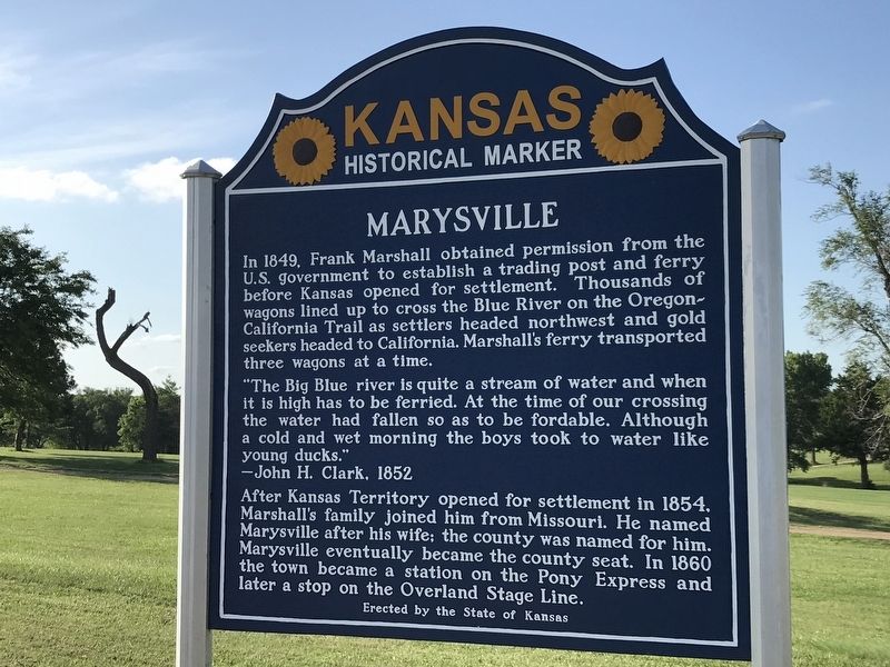
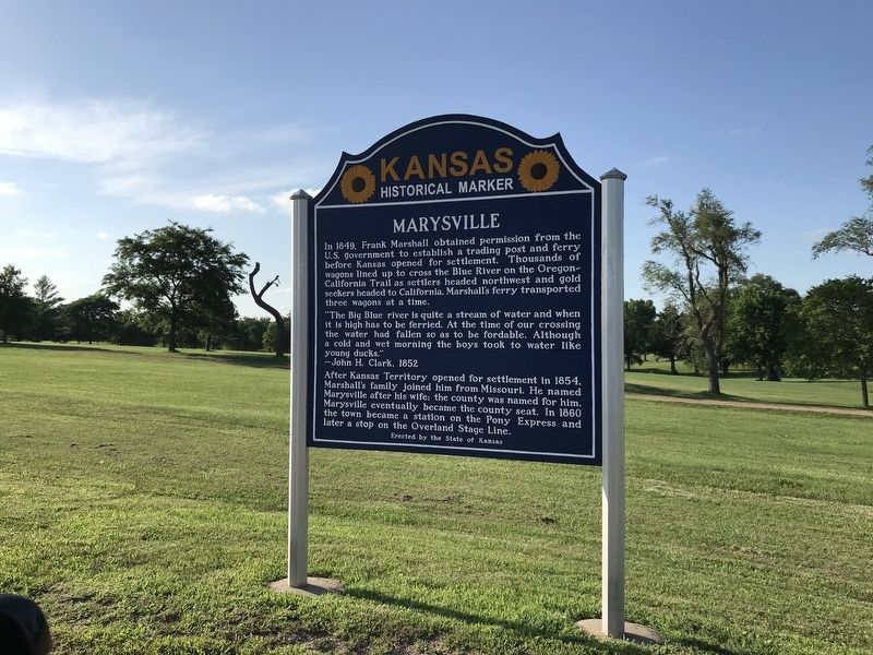
In 1849, Frank Marshall obtained permission from the U.S. government to establish a trading post and ferry before Kansas opened for settlement. Thousands of wagons lined up to cross the Blue River on the Oregon-California Trail as settlers headed northwest and gold seekers headed to California. Marshall's ferry transported three wagons at a time.
“The Big Blue river is quite a stream of water and when it is high has to be ferried. At the time of our crossing the water had fallen so as to be fordable. Although a cold and wet morning the boys took to water like young ducks.”
- John H. Clark, 1852
After Kansas Territory opened for settlement in 1854, Marshall's family joined him from Missouri. He named Marysville after his wife; the county was named for him. Marysville eventually became the county seat. In 1860 the town became a station on the Pony Express and later a stop on the Overland Stage Line.
Erected 2012 by The State of Kansas. (Marker Number 25.)
Topics and series. This historical marker is listed in these topic lists: Industry & Commerce • Settlements & Settlers • Waterways & Vessels. In addition, it is included in the Kansas Historical Society series list.
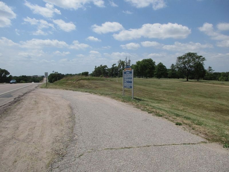
Location. 39° 50.524′ N, 96° 37.375′ W. Marker is in Marysville, Kansas, in Marshall County. Marker is on Pony Express Highway (U.S. 36) 0.2 miles west of 11th Road, on the right when traveling west. Touch for map. Marker is at or near this postal address: 1085 Pony Express Hwy, Marysville KS 66508, United States of America. Touch for directions.
Other nearby markers. At least 8 other markers are within 2 miles of this marker, measured as the crow flies. Marshall County Veterans Memorial (approx. 0.7 miles away); S. M. N. & R. American Legion Post 163 Veterans Memorial (approx. 0.7 miles away); Marshall County Court House (approx. one mile away); Marysville, Kan. (approx. 1.1 miles away); Civil War Memorial (approx. 1.1 miles away); Union Pacific Engine No. 460 (approx. 1.2 miles away); a different marker also named Marysville (approx. 1.3 miles away); a different marker also named Marysville (approx. 1.3 miles away). Touch for a list and map of all markers in Marysville.
Related marker. Click here for another marker that is related to this marker. This marker has replaced the linked marker.
Credits. This page was last revised on July 5, 2023. It was originally submitted on July 13, 2020, by Duane and Tracy Marsteller of Murfreesboro, Tennessee. This page has been viewed 204 times since then and 23 times this year. Last updated on July 4, 2023, by Jeff Leichsenring of Garland, Texas. Photos: 1, 2. submitted on July 13, 2020, by Duane and Tracy Marsteller of Murfreesboro, Tennessee. 3. submitted on July 4, 2023, by Jeff Leichsenring of Garland, Texas. • J. Makali Bruton was the editor who published this page.


