Near Montgomery in Montgomery County, Texas — The American South (West South Central)
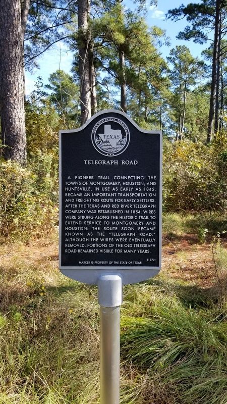
Telegraph Road
A pioneer trail connecting the towns of Montgomery, Houston, and Huntsville, in use as early as 1845, became an important transportation and freighting route for early settlers. After the Texas and Red River Telegraph Company was established in 1854, wires were strung along the historic trail to extend service to Montgomery and Houston. The route soon became known as the "Telegraph Road." Although the wires eventually were removed, portions of the old Telegraph Road remained visible for many years.
Marker is property of the State of Texas
Erected 1972 by Texas Historical Commission. (Marker Number 7905.)
Topics. This historical marker is listed in these topic lists: Communications • Roads & Vehicles • Settlements & Settlers. A significant historical year for this entry is 1845.
Location. 30° 28.358′ N, 95° 41.678′ W. Marker is near Montgomery, Texas, in Montgomery County. Marker is on Farm to Market 149 (State Highway 149) one mile north of Bailey Grove Road, on the right when traveling north. Touch for map. Marker is in this post office area: Montgomery TX 77356, United States of America. Touch for directions.
Other nearby markers. At least 8 other markers are within 6 miles of this marker, measured as the crow flies. Mt. Pleasant Cemetery (approx. 2.3 miles away); Pool's Cemetery (approx. 4.8 miles away); James Jordan (Jardine) Log House (approx. 5˝ miles away); Crane Family Cabin (approx. 5˝ miles away); Frontier Colonial Home (approx. 5.6 miles away); Montgomery County, C.S.A. (approx. 5.6 miles away); Montgomery County Jail (approx. 5.6 miles away); Town of Montgomery (approx. 5.6 miles away). Touch for a list and map of all markers in Montgomery.
More about this marker. The marker has been replaced in 1995 and again in 2017.
Credits. This page was last revised on June 23, 2022. It was originally submitted on September 3, 2020, by James Hulse of Medina, Texas. This page has been viewed 282 times since then and 31 times this year. Photos: 1, 2. submitted on September 3, 2020, by James Hulse of Medina, Texas. • J. Makali Bruton was the editor who published this page.

