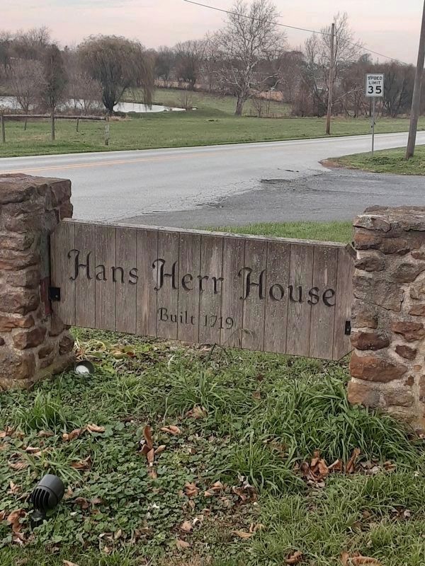
West Lampeter Township near Lancaster in Lancaster County, Pennsylvania — The American Northeast (Mid-Atlantic)
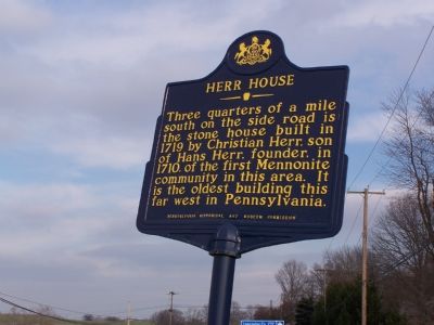
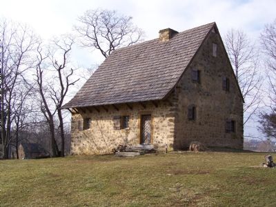
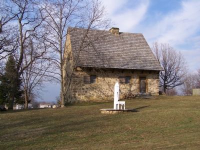
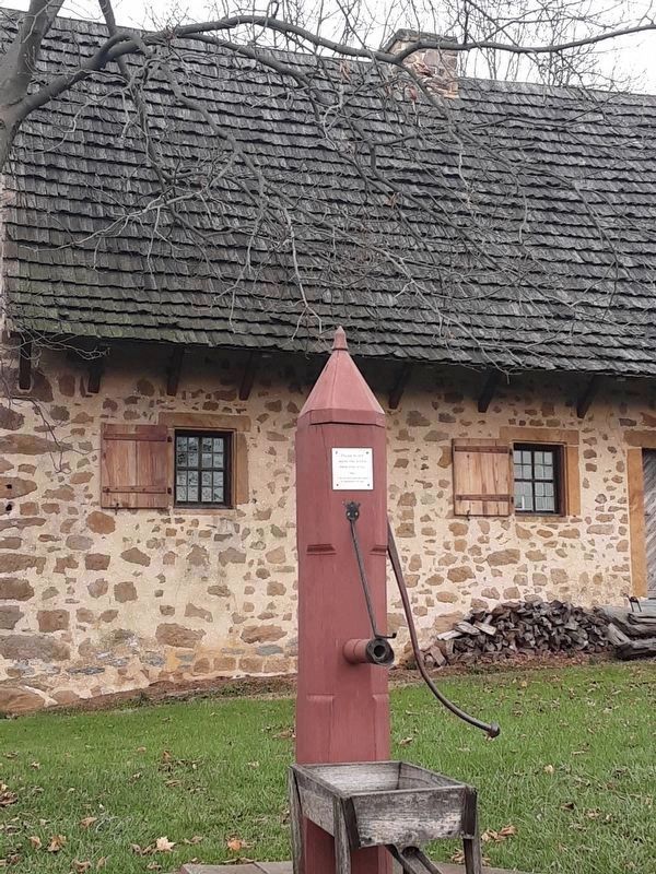
Herr House
Erected 1971 by Pennsylvania Historical and Museum Commission.
Topics and series. This historical marker is listed in these topic lists: Churches & Religion • Colonial Era • Settlements & Settlers. In addition, it is included in the Pennsylvania Historical and Museum Commission series list. A significant historical year for this entry is 1719.
Location. 39° 59.379′ N, 76° 16.022′ W. Marker is near Lancaster, Pennsylvania, in Lancaster County. It is in West Lampeter Township. Marker is on Beaver Valley Pike (U.S. 222) 0.3 miles west of Hans Herr Drive, on the right when traveling east. Here, the road also carries PA 741. Eastbound on the road is US 222 southbound and PA 741 eastbound. Touch for map. Marker is at or near this postal address: 326 Beaver St, Lancaster PA 17603, United States of America. Touch for directions.
Other nearby markers. At least 8 other markers are within 2 miles of this marker, measured as the crow flies. Birthplace of the Pennsylvania Rifle (approx. 0.6 miles away); Millstones (approx. ¾ mile away); Heine Weber Smokehouse (approx. ¾ mile away); Blacksmith Shop (approx. ¾ mile away); Martin Meylin’s Gunshop (approx. 0.8 miles away); First Settlement in Lancaster County (approx. 1.2 miles away); Boehm's Chapel (approx. 1.9 miles away); Kurtz's Mill Covered Bridge (approx. 2 miles away).
Also see . . .
1. Hans Herr House. (Submitted on February 7, 2008, by Bill Pfingsten of Bel Air, Maryland.)
2. Wikipedia entry for Hans Herr. (Submitted on December 12, 2011, by Keith S Smith of West Chester, Pennsylvania.)
Credits. This page was last revised on February 7, 2023. It was originally submitted on February 7, 2008, by Bill Pfingsten of Bel Air, Maryland. This page has been viewed 2,631 times since then and 25 times this year. Last updated on October 22, 2020, by Carl Gordon Moore Jr. of North East, Maryland. Photos: 1, 2, 3. submitted on February 7, 2008, by Bill Pfingsten of Bel Air, Maryland. 4, 5. submitted on November 20, 2020, by Carl Gordon Moore Jr. of North East, Maryland.
