Near Silver City in Catron County, New Mexico — The American Mountains (Southwest)
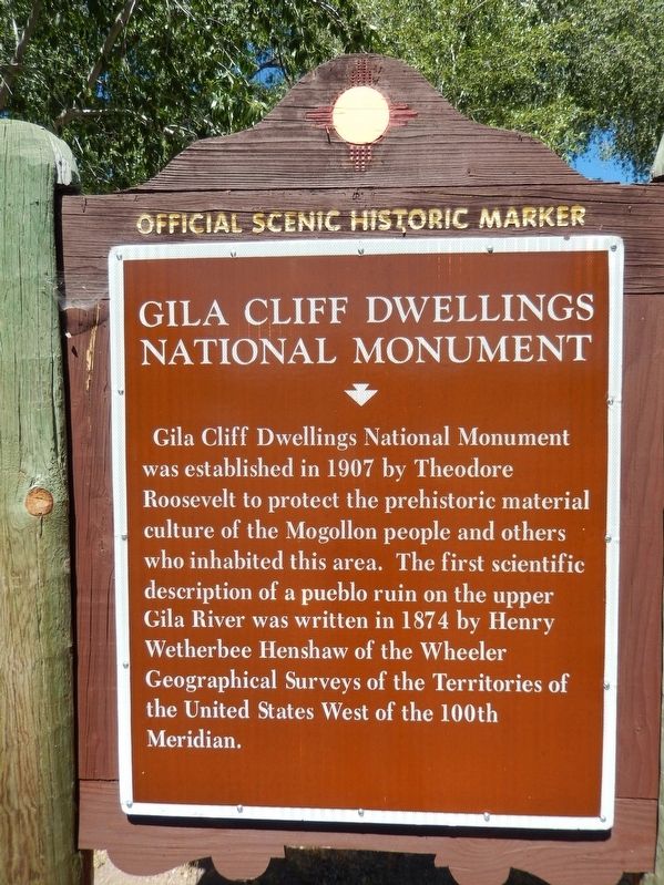
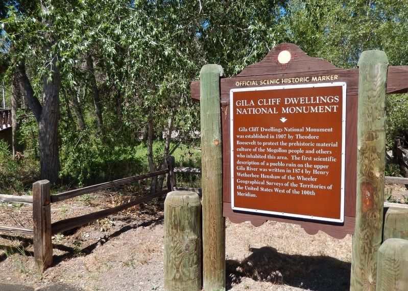
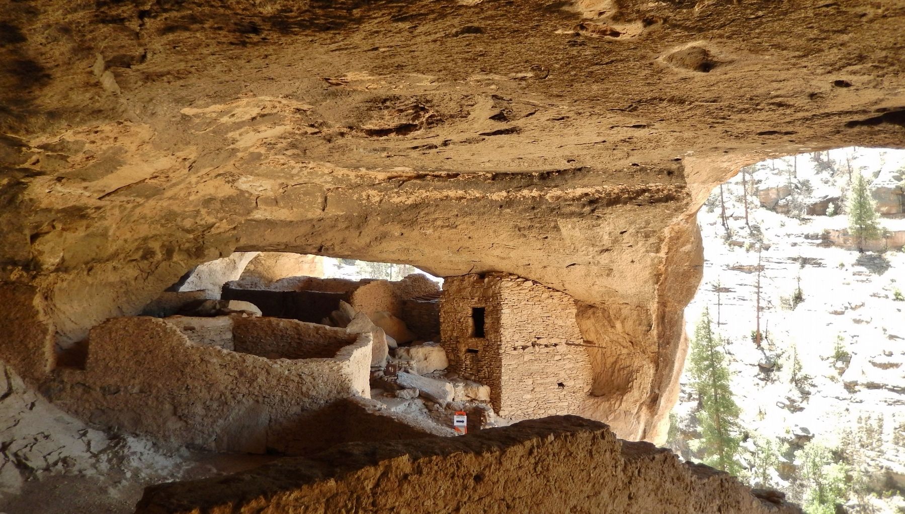
Gila Cliff Dwellings National Monument
Erected by State of New Mexico.
Topics and series. This historical marker and monument is listed in these topic lists: Anthropology & Archaeology • Architecture • Native Americans • Parks & Recreational Areas. In addition, it is included in the Former U.S. Presidents: #26 Theodore Roosevelt series list. A significant historical year for this entry is 1907.
Location. 33° 13.769′ N, 108° 15.902′ W. Marker is near Silver City, New Mexico, in Catron County. Marker is on State Highway 15, 43 miles north of Silver Heights Boulevard (U.S. 180). Marker is located at the Gila Cliff Dwellings Trailhead. Touch for map. Marker is in this post office area: Silver City NM 88061, United States of America. Touch for directions.
Other nearby markers. At least 2 other markers are within 2 miles of this marker, measured as the crow flies. Mogollon Mural (approx. ¼ mile away); To Aldo Leopold (approx. 1.4 miles away).
Regarding Gila Cliff Dwellings National Monument. National Register of Historic Places #66000472. The 533-acre national monument was established by President Theodore Roosevelt through executive proclamation on November 16, 1907.
Also see . . .
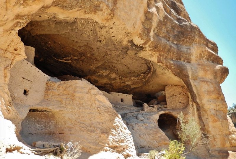
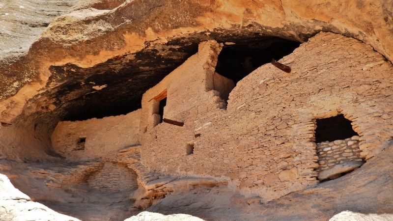
1. Gila Cliff Dwellings National Monument (Wikipedia). The ruins' developers made use of natural caves to build interlinked dwellings within five cliff alcoves. The Mogollon Peoples are believed to have inhabited the region from between 1275 and into the early 14th century. Archaeologists have identified 46 rooms in the five caves on Cliff Dweller Canyon, and believed they were occupied by 10 to 15 families. (Submitted on October 13, 2020, by Cosmos Mariner of Cape Canaveral, Florida.)
2. Shedding Light on the Mogollon Culture. For thousands of years, groups of nomadic people used the caves of the Gila River as temporary shelter. In the late 1200's, people of the Mogollon Culture decided it would be a good place to call home. They built rooms, crafted pottery and raised children in the cliff dwellings for about twenty years. Then the Mogollon moved on, leaving the walls for us as a glimpse into the past. (Submitted on October 13, 2020, by Cosmos Mariner of Cape Canaveral, Florida.)
3. The Gila Cliff Dwellings National Monument. The surroundings probably look today very much like they did when the cliff dwellings were inhabited. It is surrounded by the Gila National Forest and lies in the middle of the Gila Wilderness, the nation's first designated wilderness area. Wilderness designation means that the wilderness character of the area will not be altered by the intrusion of roads or other evidence of human presence. (Submitted on October 13, 2020, by Cosmos Mariner of Cape Canaveral, Florida.)
Photographed By Cosmos Mariner, June 7, 2014
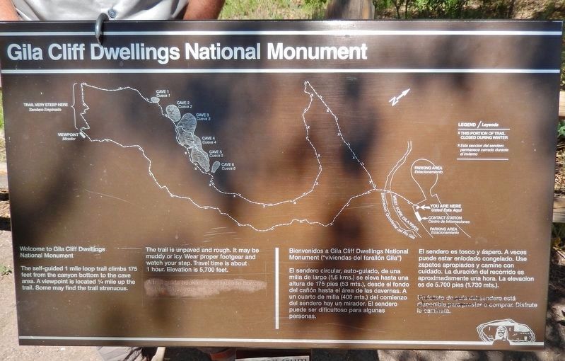
3. Gila Cliff Dwellings National Monument Trail Map
Welcome to Gila Cliff Dwellings National Monument.
The self-guided 1 mile loop trail climbs 175 feet from the canyon bottom to the cave area. A viewpoint is located 1/4 mile up the trail. Some may find the trail strenuous.
The trail is unpaved and rough. It may be muddy or icy. Wear proper footgear and watch your step. Travel time is about 1 hour. Elevation is 5,700 feet.
Credits. This page was last revised on October 13, 2020. It was originally submitted on October 12, 2020, by Cosmos Mariner of Cape Canaveral, Florida. This page has been viewed 250 times since then and 16 times this year. Photos: 1, 2, 3, 4, 5, 6. submitted on October 13, 2020, by Cosmos Mariner of Cape Canaveral, Florida.
