Strasburg in Shenandoah County, Virginia — The American South (Mid-Atlantic)
Crystal Caverns Mine
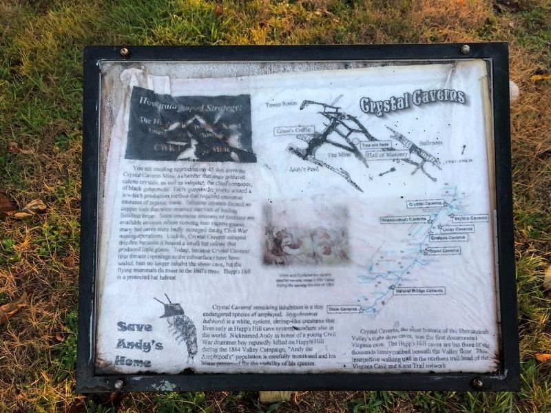
How Strata Shaped Strategy: The Hupp's Hill Civil War/Karst Interpretive Walking Trail
You are standing approximately 45 feet above the Crystal Caverns Mine, a chamber that once produced calcite crystals, as well as saltpeter, the chief component, of black gunpowder. Early gunpowder works utilized a low-tech production method that required enormous amounts of organic waste. Saltpeter crystals formed on copper rods that were inserted into vats of boiling fertilizer brine. Since enormous amounts of fertilizer are available in caves where roosting bats excrete guano, many bat caves were badly damaged during Civil War mining operations. Luckly, Crystal Caverns escaped this fate because it housed a small bat colony that produced little guano. Today, because Crystal Caverns' four throats (openings to the subsurface have been sealed, bats no longer inhabit the show cave, but the flying mammals do roost in the Hill's trees. Hupp's Hill is a protected bat habitat.
Crystal Caverns' remaining inhabitant is a tiny endangered species of amphibod. Stygobromus hubbardi is a white, eyeless, shrimp-like creatures that lives only in Hupp's Hill cave system, nowhere else in the world. Nicknamed Any in honor of a young Civil War drummer boy reputedly killed on Hupp's Hill during the 1864 Valley Campaign, "Andy the Amphipod's" population is carefully monitored and his home preserved for the viability of his species.
Crystal Caverns, the most historic of the Shenandoah Valley's eight show caves, was the first documented Virginia cave. The Hupp's Hill caves are but three of the thousands honeycombed beneath the Valley floor. This interpretive walking trail is the northern trail head of the Virginia Cave and Karst Trail network.
Erected by Cedar Creek Battlefield Foundation. (Marker Number CWK 1.)
Topics and series. This historical marker is listed in these topic lists: Animals • Industry & Commerce • Natural Features • Natural Resources. In addition, it is included in the Virginia, Strasburg, How Strata Shaped Strategy: The Hupp's Hill Civil War/Karst Interpretive Walking Trail series list. A significant historical year for this entry is 1864.
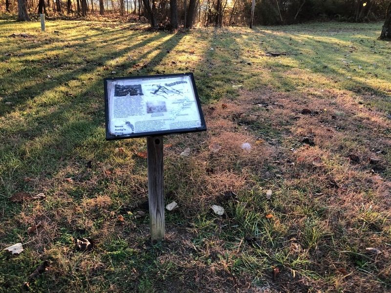
Location. 39° 0.013′ N, 78° 20.933′ W. Marker has been reported damaged. Marker is in Strasburg, Virginia, in Shenandoah County. Marker can be reached from Old Valley Pike (U.S. 11) 0.1 miles west of Signal Knob Drive, on the right when traveling west. Touch for map. Marker is at or near this postal address: 33231 Old Valley Pike, Strasburg VA 22657, United States of America. Touch for directions.
Other nearby markers. At least 8 other markers are within walking distance of this location. Lower Cave (a few steps from this marker); Hupp's "Little Gem" (within shouting distance of this marker); Signal Knob (within shouting distance of this marker);
Credits. This page was last revised on November 1, 2020. It was originally submitted on October 31, 2020, by Devry Becker Jones of Washington, District of Columbia. This page has been viewed 459 times since then and 75 times this year. Photos: 1, 2. submitted on October 31, 2020, by Devry Becker Jones of Washington, District of Columbia.

