Near Luray in Page County, Virginia — The American South (Mid-Atlantic)
White House Bridge
Critical Crossing
— 1862 Valley Campaign —
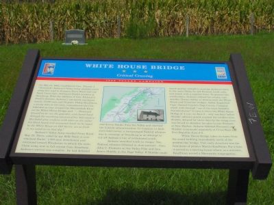
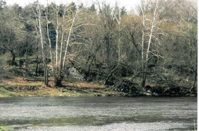
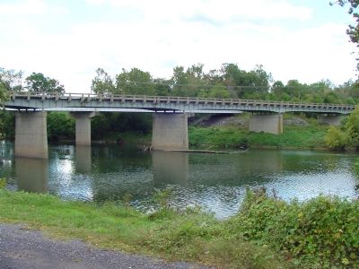
On May 21, 1862, Confederate Gen. Thomas J. “Stonewall” Jackson’s Valley Army plodded north along this road to threaten Front Royal and outflank Union Gen. Nathaniel Bank’s position at Strasburg. With the addition of Gen. Richard S. Ewell’s division, Jackson’s command numbered nearly 17,000 men and 50 guns. Philip Kauffman, a young man at the time, remembered the Confederates as they crossed the Shenandoah River on the White House Bridge and: “...Stonewall himself as he ran the gauntlet, with bared head, through the marching columns of his ‘foot cavalry.’ His faded gray uniform with stars on the collar, his black beard and uncovered head, as he loped by the White House on Old Sorrel, are as fresh in my mind as on that day.”
Jackson’s Valley Army reached Front Royal May 23. There, aided by spy Belle Boyd, it overwhelmed Banks’ 1,000-man detachment and continued toward Winchester to attack the main Union army, now in full retreat from Strasburg. Jackson’s success was complete. He had defeated and driven Banks from the Valley and alarmed the Lincoln administration. In response to Jackson’s bold moves, a two-pronged Federal advance was to converge at Strasburg in an attempt to cut off Jackson’s line of withdrawal south.
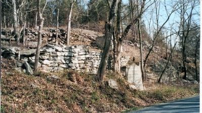
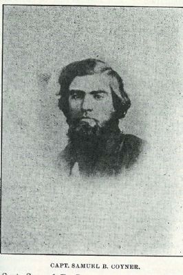
Jackson marched south to escape. Two Federal columns followed in close pursuit—Gen. John C. Fremont on the Valley Pike and Gen. James Shields in the Page Valley. If Shields could march quickly enough to overtake Jackson's force in the main Valley, he and Fremont could unite and attack with a superior force. To prevent this combination, Jackson ordered his cavalry commander, Turner Ashby, to destroy both the White House and Columbia bridges. Ashby dispatched Capt. Samuel Coyner’s Page County Company which rode through “one of the most dreadful thunderstorms” in time to burn the White House Bridge at 4 a.m. on June 2—only one hour before Shields’ advance guard reached the swollen river. Shields, delayed for three days by the rising river, was forced to abandon his plan to join Fremont at New Market. Jackson defeated Fremont’s and Shields’ commands separately at Cross Keys and Port Republic June 8-9.
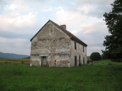
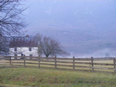
White House Bridge takes its name from the small building immediately north of the present-day bridge. This early structure was the first home of pioneer Martin Kauffman. For a time it served as a meeting house where, as a minister, Kauffman served a Mennonite congregation.
Erected by Virginia Civil War Trails.
Topics and series. This historical marker is listed in this topic list: War, US Civil. In addition, it is included in the Virginia Civil War Trails series list. A significant historical month for this entry is May 1862.
Location.
Photographed By Devry Becker Jones (CC0), October 31, 2020
2. White House Bridge Marker
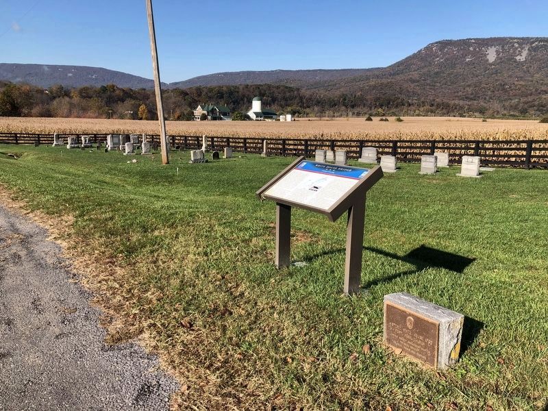
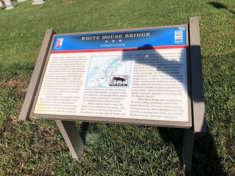
Unfortunately, the marker has weathered.
Other nearby markers. At least 8 other markers are within 3 miles of this marker, measured as the crow flies. Historic White House 1760 (here, next to this marker); The Reverend John Roads (Rhodes) (here, next to this marker); White House (here, next to this marker); Massanutton (approx. 0.6 miles away); Calendine (approx. 1.2 miles away); Mauck Meeting House (approx. 1.2 miles away); Luray Caverns (approx. 2.8 miles away); a different marker also named Luray Caverns (approx. 2.8 miles away). Touch for a list and map of all markers in Luray.
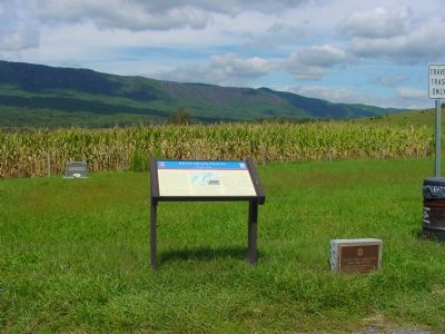
More about this marker. In the center of the marker is a campaign map of the Shenandoah Valley with an inset photo of the White House.
Regarding White House Bridge. There is an occurrence in 1st sentence of "Bank's", a possessive form which should have been "Banks'".
This marker is one of several detailing Civil War activities in Page County, Virginia. Please see the Page County Civil War Markers link below.
Also see . . .
1. Avenue of Armies: Civil War Sites and Stories of Luray and Page County, Virginia. Tour book (Submitted on March 20, 2009, by Robert H. Moore, II of Winchester, Virginia.)
2. Page County Civil War HMDb Markers. (Submitted on February 25, 2009, by Craig Swain of Leesburg, Virginia.)
Credits. This page was last revised on August 9, 2023. It was originally submitted on January 3, 2007. This page has been viewed 10,223 times since then and 111 times this year. Last updated on August 8, 2023. Photos: 1. submitted on January 3, 2007, by J. J. Prats of Powell, Ohio. 2. submitted on November 1, 2020, by Devry Becker Jones of Washington, District of Columbia. 3. submitted on January 3, 2007, by J. J. Prats of Powell, Ohio. 4. submitted on November 1, 2020, by Devry Becker Jones of Washington, District of Columbia. 5. submitted on October 13, 2008, by Craig Swain of Leesburg, Virginia. 6, 7, 8. submitted on February 6, 2009, by Robert H. Moore, II of Winchester, Virginia. 9. submitted on January 3, 2007, by J. J. Prats of Powell, Ohio. 10. submitted on December 20, 2008, by Bronwyn Pettit of Luray, Virginia. • Bernard Fisher was the editor who published this page.
