Romney in Hampshire County, West Virginia — The American South (Appalachia)
Romney In The Civil War
Strategic Location on the Turnpike
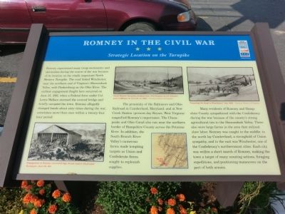
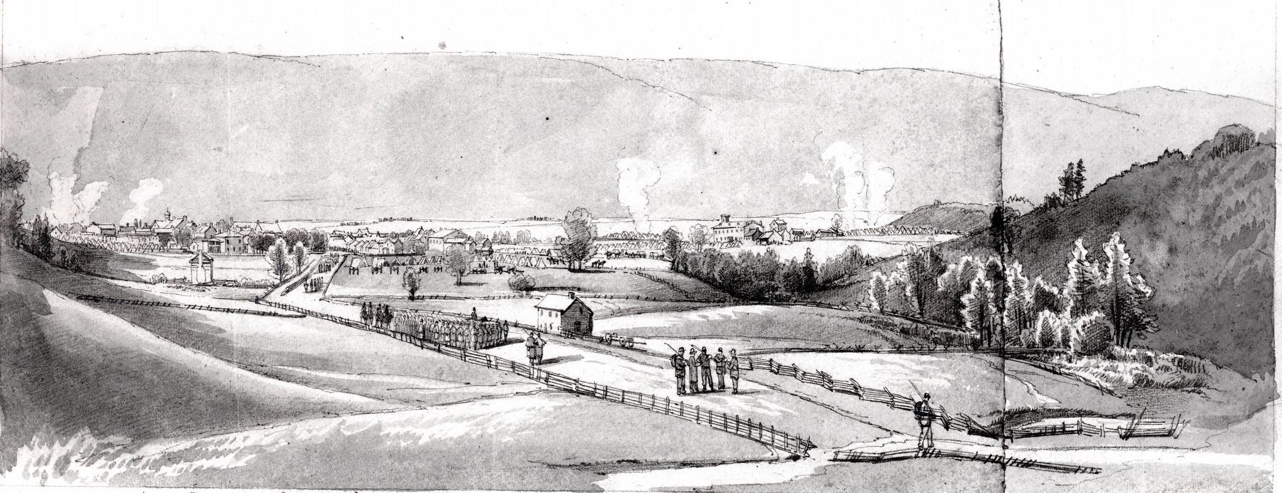
Romney experienced many troop movements and skirmishes during the course of the war because of its location on the vitally important North Western Turnpike. The road linked Winchester, near the northern end of Virginia’s Shenandoah Valley, with Parkersburg on the Ohio River. The earliest engagement fought here occurred on June 13, 1861, when a Federal force under Col. Lewis Wallace stormed the covered bridge and briefly occupied the town. Romney allegedly changed hands about sixty times during the war, sometimes more than once within a twenty-four hour period.
The proximity of the Baltimore and Ohio Railroad in Cumberland, Maryland, and at New Creek Station (present-day Keyser, West Virginia) magnified Romney’s importance. The Chesapeake and Ohio Canal also ran near the northern border of Hampshire County across the Potomac River. In addition, the South Branch River Valley’s numerous farms made tempting targets as Union and Confederate forces sought to replenish supplies.
Many residents of Romney and Hampshire County sympathized with the Confederacy during the war because of the county’s strong agricultural ties to the Shenandoah Valley. There also were large farms in the area that utilized slave labor. Romney was caught in the middle: to the north lay Cumberland, a stronghold of Union sympathy, and to the east was Winchester, one of the Confederacy’s northernmost cities. Each city was within a short march of Romney, making the town a target of many scouting actions, foraging expeditions, and positioning maneuvers on the part of both parties.
Erected by West Virginia Civil War Trails.
Topics and series. This historical marker is listed in this topic list: War, US Civil. In addition, it is included in the Chesapeake and Ohio (C&O) Canal, and the West Virginia Civil War Trails series lists. A significant historical month for this entry is June 1809.
Location. 39° 20.406′ N, 78° 45.144′ W. Marker is in Romney, West Virginia, in Hampshire County. Marker is on East Main Street (U.S. 50) 0.1 miles south of Campus Drive. Touch for map. Marker is at or near this postal address: 332 E Main St, Romney WV 26757, United States of America. Touch for directions.
Other nearby markers. At least 8 other markers are within walking distance of this marker. Town of Romney (here, next to this marker); Grapeshot Among the Pines (within shouting distance of this marker); W. Va School for the Deaf and Blind (about 300 feet away, measured in a direct line); Stonewall Jackson's Headquarters (about 400 feet away); Jackson's Headquarters (about 400 feet away); John J. Cornwell House (about 500 feet away); To Our Hero Dead In World War II
(about 700 feet away); Veterans Memorial (about 700 feet away). Touch for a list and map of all markers in Romney.
Credits. This page was last revised on December 15, 2020. It was originally submitted on August 22, 2012, by Don Morfe of Baltimore, Maryland. This page has been viewed 1,508 times since then and 60 times this year. Last updated on November 4, 2020, by Bradley Owen of Morgantown, West Virginia. Photos: 1. submitted on August 22, 2012, by Don Morfe of Baltimore, Maryland. 2, 3, 4. submitted on December 15, 2020, by Allen C. Browne of Silver Spring, Maryland. • Devry Becker Jones was the editor who published this page.


