Frankfort in Franklin County, Kentucky — The American South (East South Central)
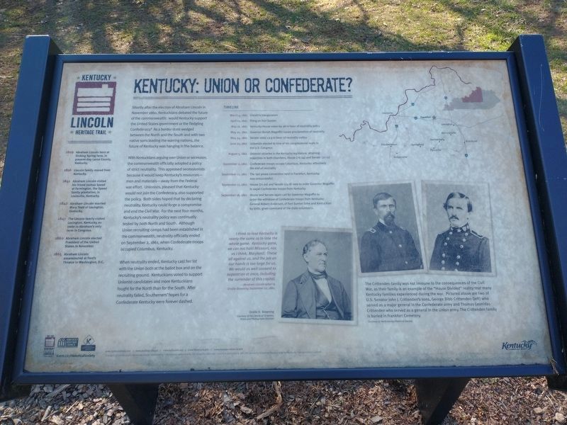
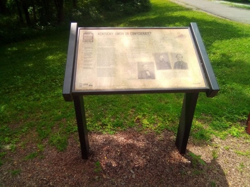
Kentucky: Union Or Confederate?
Fort Hill Civil War Park
— Kentucky Lincoln Heritage Trail —
With Kentuckians arguing over Union or secession, the commonwealth officially adopted a policy of strict neutrality. This appeased secessionists because it would keep Kentucky's resources—men and materials—away from the Federal war effort. Unionists, pleased that Kentucky would not join the Confederacy, also supported the policy. Both sides hoped that by declaring neutrality, Kentucky could forge a compromise and end the Civil War. For the next four months Kentucky's neutrality policy was continually tested by both North and South. Although Union recruiting camps had been established in the commonwealth, neutrality officially ended on September 2, 1861, when Confederate troops occupied Columbus, Kentucky.
When neutrality ended, Kentucky cast her to with the Union both at the ballot box and on the recruiting ground. Kentuckians voted to support Unionist candidates and more Kentuckians the fought for the North than for the South After neutrality failed, Southerners hopes for a Confederate Kentucky were forever dashed.
Erected by Kentucky Historical Society.
Topics. This historical marker is listed in these topic lists: Forts and Castles • War, US Civil. A significant historical date for this entry is September 2, 1861.
Location. 38° 12.267′ N, 84° 52.217′ W. Marker is in Frankfort, Kentucky, in Franklin County. Marker is on Clifton Avenue, half a mile west of Cheek Street, on the left when traveling west. Located near the museum on the Fort Hill Civil War Park grounds. Touch for map. Marker is at or near this postal address: 400 Clifton Ave, Frankfort KY 40601, United States of America. Touch for directions.
Other nearby markers. At least 8 other markers are within walking distance of this marker. Kentucky's Civil War Governors (here, next to this marker); Election Of 1860 And 1864 — Kentucky (here, next to this marker); "Kentucky Scouts" Frankfort Battalion (within shouting distance of this marker); General John Hunt Morgan's Cavalrymen (within shouting distance of this marker); Load! Ready! Fire! (within shouting distance of this marker); Remembering The Soldiers Of The War Of 1812 On Both Sides (approx. ¼ mile away); Beneath The Soil In Front Of You (approx. ¼ mile away); Here Lie The Remains of 250 Citizens Of Frankfort (approx. ¼ mile away). Touch for a list and map of all markers in Frankfort.
Credits. This page was last revised on March 24, 2022. It was originally submitted on December 13, 2020, by Craig Doda of Napoleon, Ohio. This page has been viewed 529 times since then and 30 times this year. Last updated on February 27, 2021, by Bradley Owen of Morgantown, West Virginia. Photos: 1. submitted on March 24, 2022, by Craig Doda of Napoleon, Ohio. 2, 3. submitted on December 13, 2020, by Craig Doda of Napoleon, Ohio. • Bernard Fisher was the editor who published this page.


