Cross Keys in Rockingham County, Virginia — The American South (Mid-Atlantic)
Battle of Cross Keys
Immigrant Soldiers
ó 1862 Valley Campaign ó
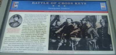
Two Germans (Gen. Henry Bohlen and Col. John Koltes) and one Hungarian (Gen. Julius Stahel) commanded Blenkerís three brigades on this part of the field. Blenker and his lieutenants had been officers in European revolutions during the 1840s.
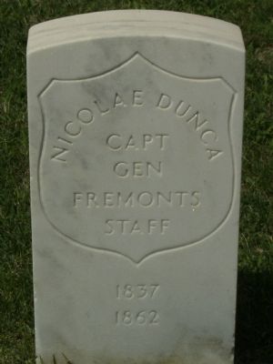
German, Swiss, Irish, English, Italians, Russians, Algerians, Sepoys, Turks, Frenchmen, Poles, Croats, Hungarians, and Chinese fought with Blenkerís ďmelting potĒ division. One of Fremontís staff officers, a Romanian, Capt. R. Nicolai Dunka, was killed delivering a message to the front here.
Most immigrants fought for their adopted country and lived here after the war. Others sought military experience so they could return to their native countries to fight in or command revolutionary armies.
Erected 2003 by Shenandoah Valley Battlefields Foundation & Virginia Civil War Trails.
Topics and series. This historical marker is listed in this topic list: War, US Civil. In addition, it is included in the Virginia Civil War Trails series list. A significant historical month for this entry is June 1926.
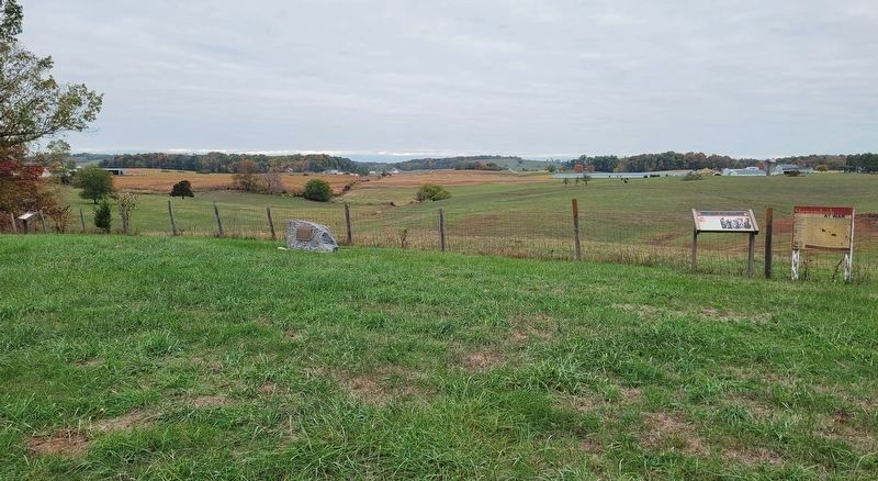
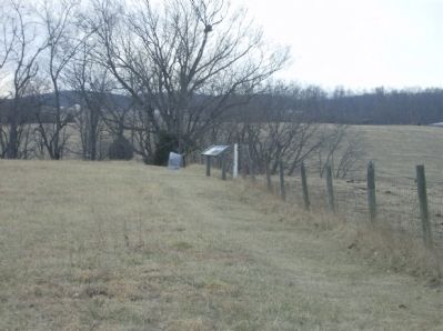
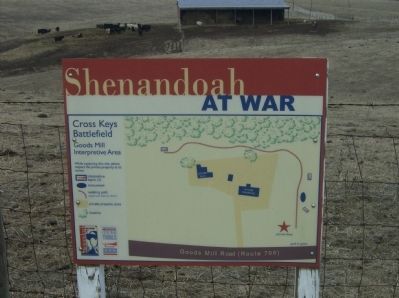
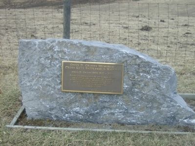
Location. 38° 21.197′ N, 78° 49.019′ W. Marker is in Cross Keys, Virginia, in Rockingham County. Marker can be reached from Goods Mill Road (Route 708), on the right when traveling south. This is one of three markers found at this site (Goods Mill Interpretive Area/Owen D. Graves Memorial Cross Keys Battlefield Wayside). Touch for map. Marker is in this post office area: Harrisonburg VA 22801, United States of America. Touch for directions.
Other nearby markers. At least 8 other markers are within 2 miles of this marker, measured as the crow flies. A different marker also named Battle of Cross Keys (within shouting distance of this marker); a different marker also named Battle of Cross Keys (about 400 feet away, measured in a direct line); a different marker also named Battle of Cross Keys (approx. half a mile away); Cross Keys Battlefield (approx. 0.6 miles away); Mill Creek Church and Cemetery (approx. 1.1 miles away); Mill Creek Church (approx. 1.1 miles away); To the Talbot Boys (approx. 1.1 miles away); a different marker also named Battle of Cross Keys (approx. 1.1 miles away). Touch for a list and map of all markers in Cross Keys.
More about this marker. On the left is a portrait of Gen. Julius Stahel, who was awarded the Medal of Honor for heroism on another Shenandoah Valley battlefield two years after the Battle of Cross Keys. In the center right is a photograph of members of the 39th New York. The 39th New York Infantry (Garibaldi
Guards) had members from all over the world. They fought near here during the Battle of Cross Keys.
Credits. This page was last revised on October 20, 2023. It was originally submitted on February 17, 2009, by Robert H. Moore, II of Winchester, Virginia. This page has been viewed 2,775 times since then and 39 times this year. Last updated on August 12, 2020, by Bradley Owen of Morgantown, West Virginia. Photos: 1. submitted on February 17, 2009, by Robert H. Moore, II of Winchester, Virginia. 2. submitted on October 18, 2023, by Bradley Owen of Morgantown, West Virginia. 3, 4, 5, 6. submitted on February 17, 2009, by Robert H. Moore, II of Winchester, Virginia. • Bernard Fisher was the editor who published this page.
