Hart's Location in Carroll County, New Hampshire — The American Northeast (New England)
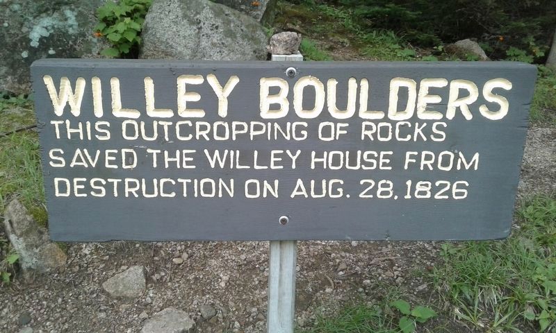
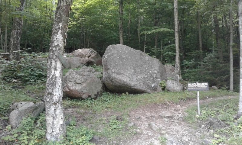
Willey Boulders
This outcropping of rocks
saved the Willey House from
destruction on Aug. 28, 1826
Topics. This historical marker is listed in this topic list: Disasters. A significant historical date for this entry is August 28, 1826.
Location. 44° 10.917′ N, 71° 23.983′ W. Marker is in Hart's Location, New Hampshire, in Carroll County. Marker is on Crawford Notch Road (U.S. 302) one mile north of Willey House Station Road, on the left when traveling north. Touch for map. Marker is in this post office area: Bretton Woods NH 03575, United States of America. Touch for directions.
Other nearby markers. At least 8 other markers are within 6 miles of this marker, measured as the crow flies. Site of the Willey House (within shouting distance of this marker); Frankenstein Trestle (approx. 2˝ miles away); Crawford Depot (approx. 2.6 miles away); Crawford House (approx. 2.6 miles away); Sgt. Brian Adams (approx. 2.6 miles away); Mount Washington Hotel / Bretton Woods Monetary Conference (approx. 5˝ miles away); Crawford Notch (approx. 5.6 miles away); Mount Washington (approx. 5.6 miles away).
Regarding Willey Boulders. Although their house was spared, seven members of the Willey family and two others were killed here in 1826 while fleeing a landslide caused by a violent rain storm.
Also see . . . Willey House, New Hampshire (Wikipedia) . (Submitted on December 20, 2020, by Michael Herrick of Southbury, Connecticut.)
Credits. This page was last revised on January 10, 2024. It was originally submitted on December 16, 2020, by Craig Doda of Napoleon, Ohio. This page has been viewed 172 times since then and 33 times this year. Last updated on January 10, 2024, by Carl Gordon Moore Jr. of North East, Maryland. Photos: 1, 2. submitted on December 16, 2020, by Craig Doda of Napoleon, Ohio. 3. submitted on December 20, 2020, by Craig Doda of Napoleon, Ohio. • J. Makali Bruton was the editor who published this page.


