Near Farmersville in Collin County, Texas — The American South (West South Central)
Pleasant Grove Cemetery
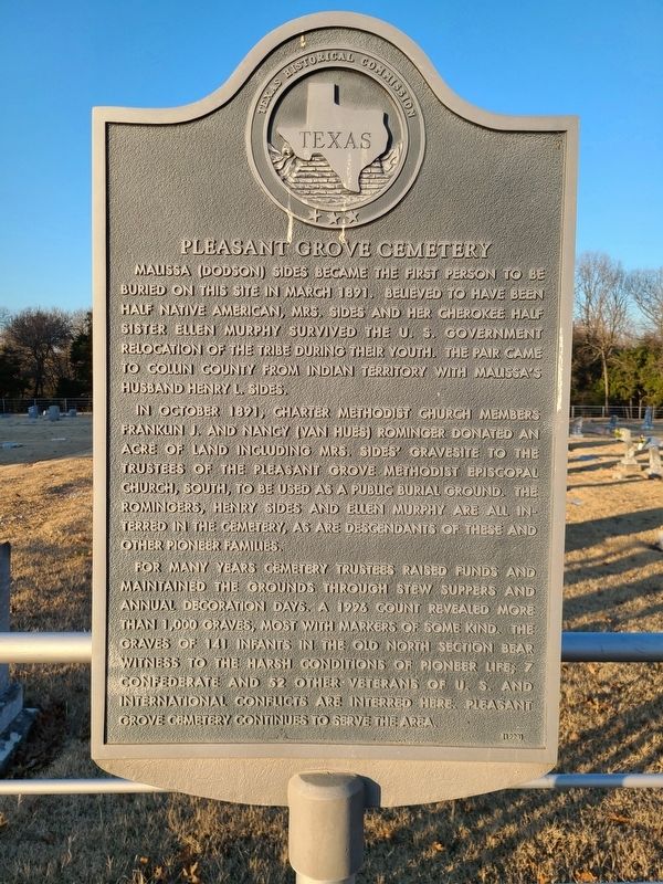
Malissa (Dodson) Sides became the first person to be buried on this site in March 1891. Believed to have been half Native American, Mrs. Sides and her Cherokee half sister Ellen Murphy survived the U.S. government relocation of the tribe during their youth. The pair came to Collin county from Indian territory with Malissa’s husband Henry I. Sides.
In October 1891, charter Methodist church members Franklin J. and Nancy (Van Hues) Rominger donated an acre of land including Mrs Sides gravesite to the trustees of the Pleasant Grove Methodist Episcopal church, south, to be used as a public burial ground. The Romingers, Henry Sides and Ellen Murphy are all interred in the cemetery as are descendants of these and other pioneer families.
For many years cemetery trustees raised funds and maintained the grounds through stew suppers and annual decoration days. A 1993 count revealed more than 1000 graves, most with markers of some kind. The graves of 141 infants in the old north section bear witness to the harsh conditions of pioneer life. 7 confederate and 52 other veterans of U.S. and international conflicts are interred here. Pleasant Grove cemetery continues to serve the area.
Erected 1998 by Texas Historical Commission. (Marker Number 17025.)
Topics. This historical marker is listed in these topic lists: Cemeteries & Burial Sites • Native Americans • Settlements & Settlers • Women. A significant historical year for this entry is 1891.
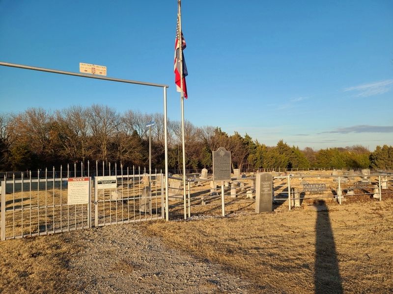
Location. 33° 12.801′ N, 96° 25.406′ W. Marker is near Farmersville, Texas, in Collin County. Marker is on County Road 2756, 0.4 miles west of County Road 570, on the left when traveling east. Touch for map. Marker is at or near this postal address: 12866 Farm to Market Road 2756, Farmersville TX 75442, United States of America. Touch for directions.
Other nearby markers. At least 8 other markers are within 5 miles of this marker, measured as the crow flies. Van Winkle Cemetery (approx. 1.9 miles away); Verona Methodist Church (approx. 2.7 miles away); Huson Cemetery (approx. 3.7 miles away); Farmersville I.O.O.F. Cemetery (approx. 4˝ miles away); Farmersville (approx. 4.6 miles away); First Methodist Church of Farmersville (approx. 5 miles away); First National Bank of Farmersville (approx. 5 miles away); First Baptist Church of Farmersville (approx. 5 miles away). Touch for a list and map of all markers in Farmersville.
Credits. This page was last revised on July 12, 2022. It was originally submitted on December 22, 2020, by Jesse Nelsen of Farmersville, Texas. This page has been viewed 365 times since then and 60 times this year. Last updated on July 11, 2022, by Joe Lotz of Denton, Texas. Photos: 1, 2. submitted on December 22, 2020, by Jesse Nelsen of Farmersville, Texas. • J. Makali Bruton was the editor who published this page.

