San José del Torreón in Ocampo, Guanajuato, Mexico — The Central Highlands (North America)
The Transformation of the Landscape by Man
Inscription.
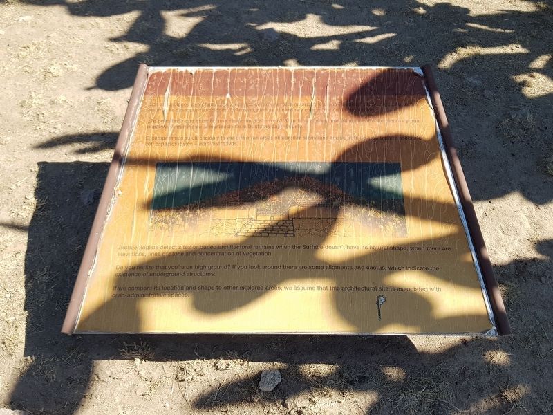
Los arqueólogos detectaron sitios o restos de arquitectura enterrada cuando la superficie no sigue su forma natural. Se observan elevaciones de terreno, piedras alineadas y concentración de vegetación.
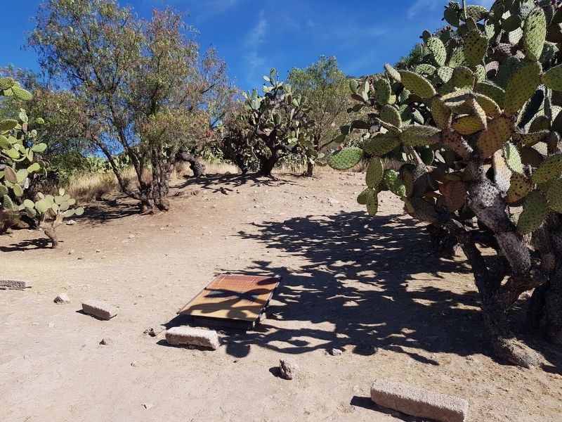
¿Te percataste que estas en una elevación del terreno? Si te fijas hay algunos alineamientos de piedras y una nopalera, lo que indica la existencia de estructuras baja el suelo.
Si comparamos su ubicación y forma con otras áreas exploradas suponemos que se trata de arquitectura asociada con espacios cívico-administrativos.
The transformation of a landscape by man
Archaeologists detect sites or buried architectural remains when the surface doesn't have its natural shape, when there are elevations, lines of stone and concentration of vegetation.
Do you realize that you're on high ground? If you look around there are some aligments and cactus, which indicate the existence of underground structures.
If we compare its location and shape to other explored areas, we assume that this architectural site is associated with civic-administrative spaces.
Erected by Instituto Nacional de Antropología e Historia (INAH).
Topics. This historical marker is listed in these topic lists: Anthropology & Archaeology • Native Americans.
Location. 21° 28.737′ N, 101° 27.551′ W. Marker is in San José del Torreón, Guanajuato, in Ocampo. Marker can be reached from Camino a El Cóporo, on the left when traveling east. Touch for map. Marker is in this post office area: San José del Torreón GTO 37640, Mexico. Touch for directions.
Other nearby markers. At least 8 other markers are within 19 kilometers of this marker, measured as the crow flies. Sunset Square (within shouting distance of this marker); The Kitchen (within shouting distance of this marker); The Pre-Hispanic House (about 90 meters away, measured in a direct line); The Sunset Room (about 90 meters away); A City Under Cactus (about 180 meters away); El Cóporo (200 to 900 AD) (approx. 0.3 kilometers away); Father Hidalgo (approx. 18.9 kilometers away); Parish of San Juan Bautista (approx. 19 kilometers away). Touch for a list and map of all markers in San José del Torreón.
More about this marker. The El Cóporo Archaeological Site markers are accessible as part of a tour of the site. Access is during the site's normal hours of operation and a small fee is paid ($2 in 2020). The staff provides
transportation to the site from the visitors center near San José del Torreón.
Credits. This page was last revised on December 30, 2020. It was originally submitted on December 30, 2020, by J. Makali Bruton of Accra, Ghana. This page has been viewed 54 times since then and 3 times this year. Photos: 1, 2. submitted on December 30, 2020, by J. Makali Bruton of Accra, Ghana.

