Siegrist's Mill Bridge
The Covered Bridges of Lancaster County, PA
Built by James C. and Henry Carpenter
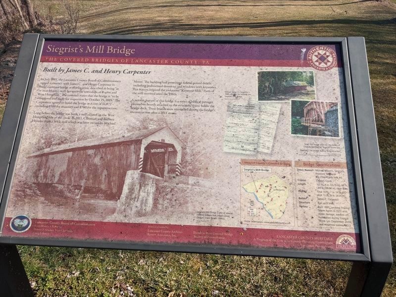
In July 1885, the Lancaster County Board of Commissioners signed a contract with James C. and Henry Carpenter to build a covered bridge at this location, described as being "at or near Moore's mill, between the townships of Rapho and West Hempfield." The contract states that the bridge is "to be completed and ready for inspection by October 15, 1885." The Carpenters agreed to build the bridge at a cost of $1,872 — including $500 for masonry and $700 for the superstructure.
Long before the bridge was built, a mill existed on the West Hempfield side of the creek. In 1811, Christian and Barbara Hertzler built a brick mill which was later owned by Michael Moore. The building had prominent federal-period details including pedimented doorways and windows with keystones. This feature inspired the nickname "Keystone Mill." Parts of the mill survived until the 1980s.
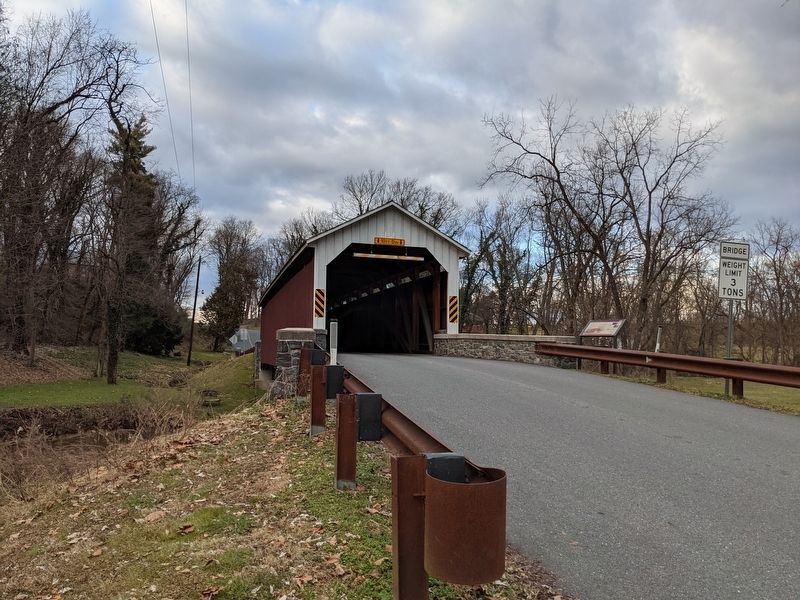
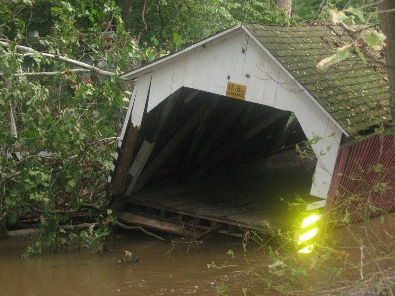
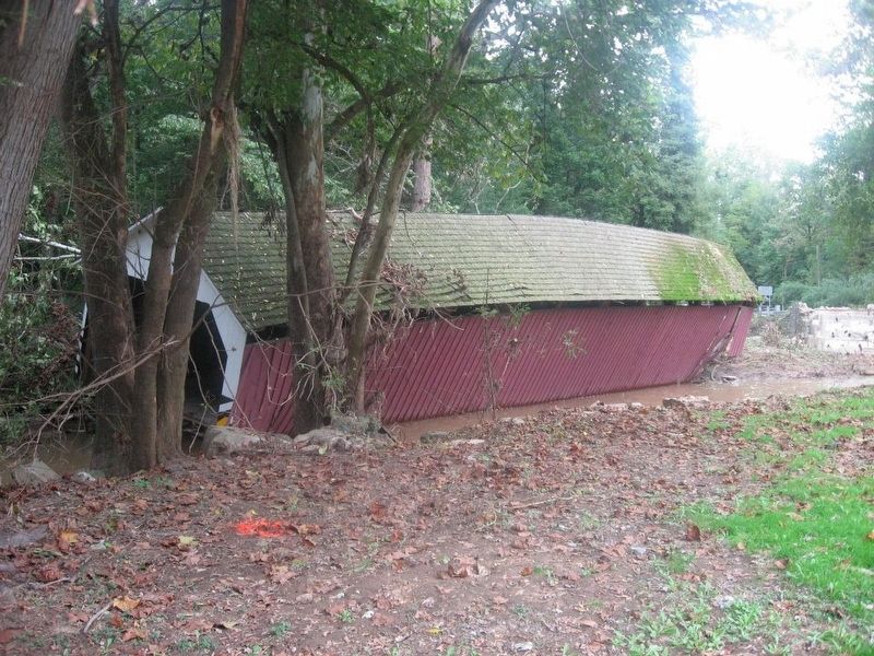
A notable feature of this bridge is a series of biblical passages painted on boards attached to the structural frame below the bridge deck. These boards were reinstalled during the bridge's reconstruction after a 2011 storm.
Erected by Lancaster County Board of Commissioners.
Topics and series. This historical marker is listed in these topic lists: Bridges & Viaducts
Location. 40° 4.556′ N, 76° 28.249′ W. Marker is near Mount Joy, Pennsylvania, in Lancaster County. It is in West Hempfield Township. Marker is on Siegrist Road, 0.3 miles west of Farmdale Road, on the right when traveling north. Touch for map. Marker is at or near this postal address: 4193 Siegrist Rd, Mount Joy PA 17552, United States of America. Touch for directions.
Other nearby markers. At least 8 other markers are within 3 miles of this marker, measured as the crow flies. Forry's Mill Bridge (1869) (approx. ¾ mile away); Ironville Fire Company (approx. 1.3 miles away); Chestnut Hill Iron Ore Company (approx. 1.7 miles away); Salunga Methodist Church Bell (approx. 2½ miles away); The Stone Wall (approx. 2½ miles away); Mountjoy Memorial (approx. 2.8 miles away); World War II Memorial (approx. 2.8 miles away); War Memorial Park (approx. 2.8 miles away). Touch for a list and map of all markers in Mount Joy.
Credits. This page was last revised on February 7, 2023. It was originally submitted on January 18, 2021, by William Pope of Marietta, Pennsylvania. This page has been viewed 248 times since then and 29 times this year. Last updated on March 10, 2021, by William Pope of Marietta, Pennsylvania. Photos: 1. submitted on March 10, 2021, by William Pope of Marietta, Pennsylvania. 2. submitted on January 18, 2021, by William Pope of Marietta, Pennsylvania. 3, 4. submitted on January 20, 2021, by William Pope of Marietta, Pennsylvania. • Bill Pfingsten was the editor who published this page.
Editor’s want-list for this marker. A full view of the marker -- including the entire table of information. • Can you help?


