Munfordville in Hart County, Kentucky — The American South (East South Central)
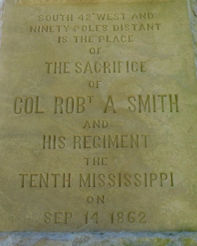
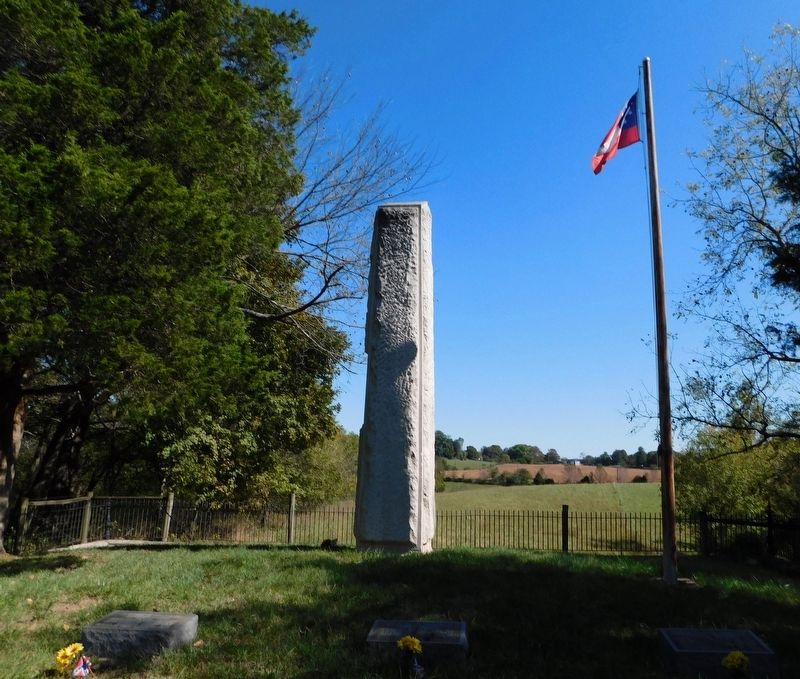
Col Robt A Smith Monument
Erected 1885 by Mr. James Smith.
Topics. This historical marker and monument is listed in this topic list: War, US Civil. A significant historical date for this entry is September 14, 1862.
Location. 37° 15.451′ N, 85° 53.739′ W. Marker is in Munfordville, Kentucky, in Hart County. Marker can be reached from Rush Island Bend Road, 0.7 miles north of Rowletts Cave Springs Road, on the right when traveling north. The marker can be reached from Rush Island Bend Road by a 0.6 mile trail on the Battle For The Bridge Historic Preserve property. It is just east of the railroad on private property. Touch for map. Marker is at or near this postal address: 824 Rush Island Bend Road, Munfordville KY 42765, United States of America. Touch for directions.
Other nearby markers. At least 8 other markers are within walking distance of this marker. The Smith Monument (here, next to this marker); Battle of Munfordville: Siege (approx. ¼ mile away); L&N Railroad Bridge (approx. ¼ mile away); Battle of Munfordville: Day 1 (approx. 0.3 miles away); Fort Craig (approx. 0.4 miles away); Kentucky and the Western War (approx. 0.4 miles away); The Raider (approx. 0.4 miles away); Battle of Munfordville (approx. 0.4 miles away). Touch for a list and map of all markers in Munfordville.
Also see . . . The Preserve - Col. Robert A. Smith Monument. (Submitted on January 26, 2021, by Bradley Owen of Morgantown, West Virginia.)
Credits. This page was last revised on January 27, 2021. It was originally submitted on January 26, 2021, by Bradley Owen of Morgantown, West Virginia. This page has been viewed 193 times since then and 13 times this year. Photos: 1, 2. submitted on January 26, 2021, by Bradley Owen of Morgantown, West Virginia. • Bernard Fisher was the editor who published this page.

