Edinburg in Shenandoah County, Virginia — The American South (Mid-Atlantic)
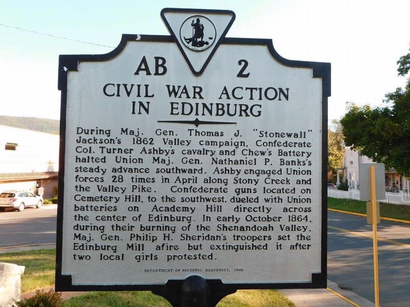
Civil War Action in Edinburg
Erected 1995 by Dept. of Historic Resources. (Marker Number AB-2.)
Topics and series. This historical marker is listed in this topic list: War, US Civil. In addition, it is included in the Virginia Department of Historic Resources (DHR) series list. A significant historical year for this entry is 1862.
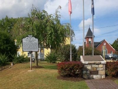
Location. 38° 49.292′ N, 78° 33.98′ W. Marker is in Edinburg, Virginia, in Shenandoah County. Marker is at the intersection of Stony Creek Boulevard (Virginia Route 185/675) and Piccadilly Street, on the right when traveling north on Stony Creek Boulevard. Marker is one block north of South Main Street (US-11). Touch for map. Marker is in this post office area: Edinburg VA 22824, United States of America. Touch for directions.
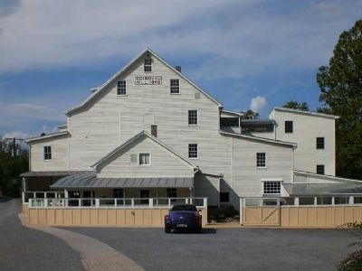
Other nearby markers. At least 8 other markers are within walking distance of this marker. Col. Turner Ashby (here, next to this marker); Edinburg Mill Rain Garden (about 500 feet away, measured in a direct line); Wheat Fan (about 500 feet away); Charred Timbers (about 600 feet away); Edinburg Mill (about 600 feet away); The Stony Creek Line (about 600 feet away); Stoney Creek Flood Water Level (about 600 feet away); Schoolhouse Bench (about 600 feet away). Touch for a list and map of all markers in Edinburg.
Credits. This page was last revised on April 26, 2021. It was originally submitted on October 5, 2009, by Linda Walcroft of Woodstock, Virginia. This page has been viewed 1,891 times since then and 62 times this year. Last updated on April 3, 2021, by Bradley Owen of Morgantown, West Virginia. Photos: 1. submitted on April 2, 2021, by Bradley Owen of Morgantown, West Virginia. 2, 3. submitted on October 5, 2009, by Linda Walcroft of Woodstock, Virginia. • Bernard Fisher was the editor who published this page.


