Providence Township near Grand Rapids in Lucas County, Ohio — The American Midwest (Great Lakes)
Welcome
Inscription.
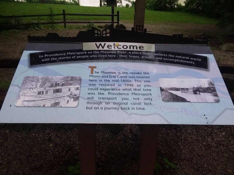
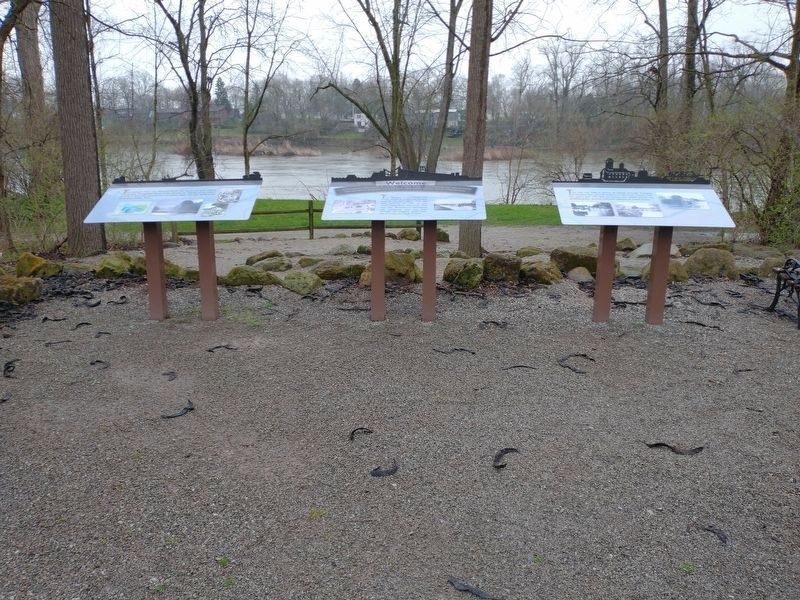
Welcome to Providence Metropark on the Maumee River, a place that connects the natural world with the stories of people who lived here - their hopes, dreams and accomplishments.
The Maumee is the reason the Miami and Erie Canal was located here in the mid-1800s. This site was restored in 1996 so you could experience what that time was like. Providence Metropark will transport not only through an original canal lock, but on a journey back in time.
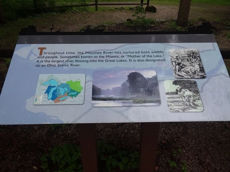
Throughout time, the Maumee River has nurtured both wildlife and people. Sometimes known as the Miamis, or “Mother of the Lake," it is the largest river flowing into the Great Lakes. It is also designated as an Ohio Scenic River.
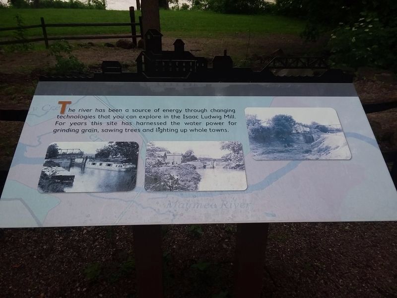
The river has been a source of energy through changing technologies that you can explore in the Isaac Ludwig Mill. For years this site has harnessed the water power for grinding grain, sawing trees and lighting up whole towns.
Topics. This historical marker is listed in these topic lists: Industry & Commerce • Waterways & Vessels. A significant historical year for this entry is 1996.
Location. 41° 24.914′ N, 83° 51.442′ W. Marker is near Grand Rapids, Ohio, in Lucas County. It is in Providence Township. Marker is on South River Road (U.S. 24) 0.2 miles east of Grand Rapids Road (Ohio Route 295), on the right when traveling east. Touch for map. Marker is in this post office area: Grand Rapids OH 43522, United States of America. Touch for directions.
Other nearby markers. At least 8 other markers are within walking distance of this marker. The Towpath Trail (within shouting distance of this marker); Miami & Erie Canal (within shouting distance of this marker); Through The Eyes Of An Artist (about 700 feet away, measured in a direct line); The Oberle Hotel (about 700 feet away); a different marker also named The Towpath Trail (approx. 0.2 miles away); Whalers And Wickets Of Lock 44 (approx. 0.2 miles away); Tough Times On The Towpath (approx. 0.2 miles away); Dominick Labino (approx. ¼ mile away). Touch for a list and map of all markers in Grand Rapids.
Credits. This page was last revised on February 6, 2023. It was originally submitted on May 13, 2021, by Craig Doda of Napoleon, Ohio. This page has been viewed 105 times since then and 6 times this year. Last updated on May 14, 2021, by Bradley Owen of Morgantown, West Virginia. Photos: 1, 2, 3. submitted on May 13, 2021, by Craig Doda of Napoleon, Ohio. 4. submitted on April 14, 2022, by Craig Doda of Napoleon, Ohio. • Devry Becker Jones was the editor who published this page.


