Near Piedmont in Harrison County, Ohio — The American Midwest (Great Lakes)
Piedmont
The Ride Gets Harder
— John Hunt Morgan Heritage Trail —
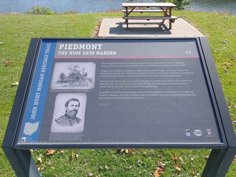
After leaving Old Washington, Confederate Brigadier General John Hunt Morgan and about 500 remaining cavalrymen were soon slowed down by several skirmishes, including one at Hanna's Mill.
Morgan's men were by now relegated to using farm horses and such buggies and wagons as they could find along their path. It was a challenge to keep ahead of their Union pursuers. Desperation or temptation, still forced Morgan's Raiders to pause and loot several stores as they passed through Antrim.
The commander directing the Union pursuit, Brigadier General James Shackelford, was having his own difficulties. His men were showing serious signs of fatigue. Shackelford pushed forward, pausing at Antrim only for food and a short rest before renewing the chase.
In an effort to slow his pursuers, Morgan ordered the burning of the covered bridge over the Stillwater Creek at Collinsport (now under Piedmont Lake). Shackelford's men were so close behind Morgan that they could see the burning bridge in the distance.
Picture 1 Caption:
Smoke burning from the billowing bridge over the Stillwater Creek near modern-day Piedmont alerted both residents and Union forces of the Confederates' approximate location.
Picture 2 Caption:
Brigadier General James M. Shackelford, a fellow Kentuckian and former infantry leader, was the field commander of mounted Union forces pursuing Morgan after the Battle of Buffington Island. Shackelford knew Morgan's men from having been wounded by them during a cavalry skirmish in September 1862.
Erected by Ohio Civil War Trail Commission, Civil War 150 Ohio, Ohio Historical Society. (Marker Number 43.)
Topics and series. This historical marker is listed in this topic list: War, US Civil. In addition, it is included in the John Hunt Morgan Heritage Trail in Ohio series list. A significant historical date for this entry is July 24, 1863.
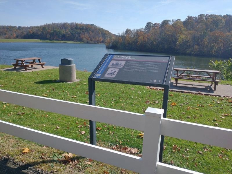
Location. 40° 11.537′ N, 81° 13.124′ W. Marker is near Piedmont, Ohio, in Harrison County. Marker is on Cadiz-Piedmont Road (U.S. 22), on the right when traveling east. In Rest Area next to Lake Piedmont. Touch for map. Marker is in this post office area: Freeport OH 43973, United States of America. Touch for directions.
Other nearby markers. At least 8 other markers are within 9 miles of this marker, measured as the crow flies. Piedmont Dam (approx. 0.2 miles away); Moorefield, Ohio (approx. 2.4 miles away); a different marker also named Moorefield (approx. 2.4 miles away); Mary L. Jobe Akeley / Harry F. Hazlett (approx. 8.1 miles away); Moravian House (approx. 8.1 miles away); Hazel's House (approx. 8.1 miles away); Deersville (approx. 8.2 miles away); The Moravian Trail (approx. 8.2 miles away).
Credits. This page was last revised on January 23, 2023. It was originally submitted on May 18, 2021, by Gregory Roos of Cincinnati, Ohio. This page has been viewed 281 times since then and 27 times this year. Last updated on October 28, 2022, by Craig Doda of Napoleon, Ohio. Photos: 1, 2. submitted on October 28, 2022, by Craig Doda of Napoleon, Ohio. • Devry Becker Jones was the editor who published this page.

