Burlington in Alamance County, North Carolina — The American South (South Atlantic)
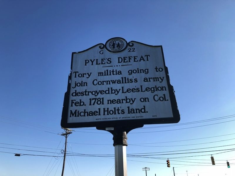
Pyle's Defeat
Erected 2013 by North Carolina Office of Archives and History. (Marker Number G-22.)
Topics and series. This historical marker is listed in this topic list: War, US Revolutionary. In addition, it is included in the North Carolina Division of Archives and History series list. A significant historical month for this entry is February 1781.
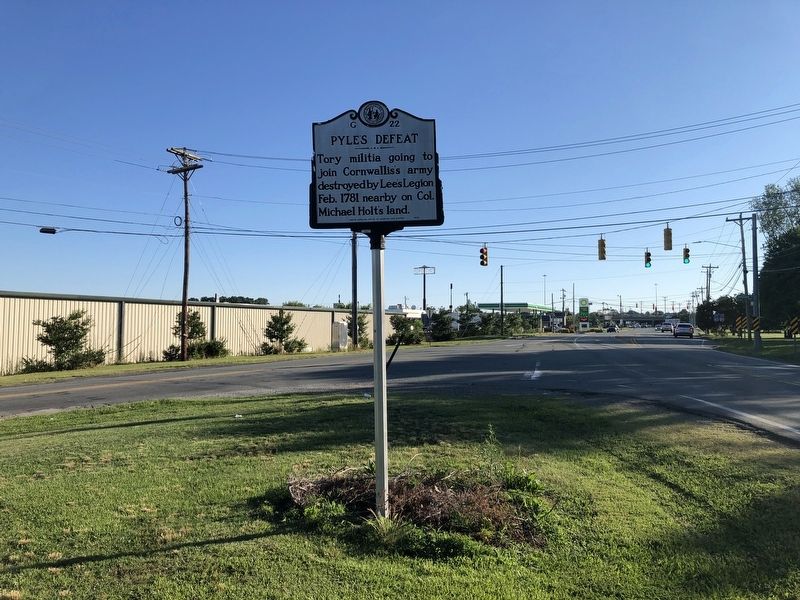
Location. 36° 3.623′ N, 79° 26.018′ W. Marker is in Burlington, North Carolina, in Alamance County. Marker is at the intersection of Maple Avenue (North Carolina Route 49) and Anthony Road (County Road 1148), on the right when traveling south on Maple Avenue. Touch for map. Marker is at or near this postal address: 2644 NC-49, Burlington NC 27215, United States of America. Touch for directions.
Other nearby markers. At least 8 other markers are within 2 miles of this marker, measured as the crow flies. Michael Holt II (approx. 0.7 miles away); a different marker also named Pyle's Defeat (approx. 1.2 miles away); Alamance County War Memorial (approx. 1.8 miles away); Pine Hill Cemetery - Veterans Memorial (approx. 1.9 miles away); Graham College (approx. 1.9 miles away); Captain James W. White House (approx. 1.9 miles away); Kirk-Holden War (approx. 1.9 miles away); "Elmhurst" (approx. 1.9 miles away). Touch for a list and map of all markers in Burlington.
Related marker. Click here for another marker that is related to this marker. This marker has replaced the linked marker which had different content.
Credits. This page was last revised on May 9, 2023. It was originally submitted on June 19, 2021, by Devry Becker Jones of Washington, District of Columbia. This page has been viewed 200 times since then and 42 times this year. Last updated on May 9, 2023, by Michael Buckner of Durham, North Carolina. Photos: 1, 2. submitted on June 19, 2021, by Devry Becker Jones of Washington, District of Columbia. • Bernard Fisher was the editor who published this page.

