Greensboro in Guilford County, North Carolina — The American South (South Atlantic)
The Fisher Park Neighborhood
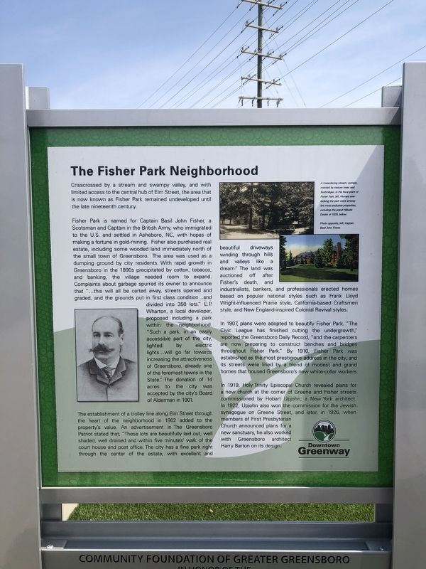
Crisscrossed by a stream and swampy valley, and with limited access to the central hub of Elm Street, the area that is now known as Fisher Park remained undeveloped until the late nineteenth century.
Fisher Park is named for Captain Basil John Fisher, a Scotsman and Captain in the British Army, who immigrated to the U.S. and settled in Asheboro, NC, with hopes of making a fortune in gold-mining. Fisher also purchased real estate, including some wooded land immediately north of the small town of Greensboro. The area was used as a dumping ground by city residents. With rapid growth in Greensboro in the 1890s precipitated by cotton, tobacco, and banking, the village needed room to expand. Complains about garbage spurred its owner to announce that "…this will all be carted away, streets opened and graded, and the grounds put in first class condition…and divided into 350 lots." E.P. Wharton, a local developer, proposed including a park within the neighborhood. "Such a park, in an easily accessible part of the city, lighted by electric lights…will go far towards increasing the attractiveness of Greensboro, already one of the foremost towns in the State." The donation of 14 acres to the city was accepted by the city's Board of Alderman in 1901.
The establishment of a trolley line along Elm Street through the heart of the neighborhood in 1902 added to the property's value. An advertisement in The Greensboro Patriot stated that, "These lots are beautifully laid out, well shaded, well drained and within five minutes' walk of the court house and post office. The city has a fine park right through the center of the estate, with excellent and beautiful driveways winding through hills and valleys like a dream." The land was auctioned off after Fisher's death, and industrialists, bankers, and professionals erected homes based on popular national styles such as Frank Lloyd Wright-influenced Prairie style, California-based Craftsmen style, and New England-inspired Colonial Revival styles.
In 1907, plans were adopted to beautify Fisher Park. "The Civic League has finished cutting the undergrowth," reported the Greensboro Daily Records, "and the carpenters are now preparing to construct benches and bridges throughout Fisher Park." By 1910, Fisher Park was established as the most prestigious address in the city, and its streets were lined by a blend of modest and grand homes that housed Greensboro's new white-collar workers.
In 1919, Holy Trinity Episcopal Church revealed plans for a new church at the corner of Greene and Fisher streets commissioned by Hobart Upjohn, a New York architect. In 1922, Upjohn also won the commission for the Jewish synagogue on Green Street, and later,
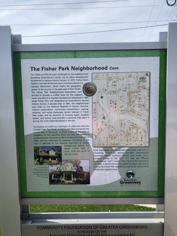
The 1950s and 60s brought challenges to the neighborhood bordering Greensboro's center city as office development threatened to replace historic homes. In 1972, Fisher Park's historic role was reinforced when historians placed the Genesis Monument, which marks the geographic center of the county, in the park east of Elm Street. The Fisher Park Neighborhood Association was formed to provide a unified voice for the neighborhood, and efforts to regulate development advanced in 1982 when Fisher Park was designated as Greensboro's second historic district. A decade later, in 1991, the neighborhood was listed on the National Register of Historic Districts. Historic preservation, community reinvestment, parking, rezoning, and social challenges remain relevant in Fisher Park today, and its diversity of housing types, property values, and zoning uses provides a dynamic that place it among among the most treasured places in the city.
The location on which you stand sits on what was once the Colonial Cape Fear Road, a trading path that connected the county seat of Martinville to Cross Creek, at the head of navigation for the Cape Fear River. The road was already in existence when Greensboro was founded along
Small businesses and residential apartments now form a transitional, mixed use district between Greensboro's downtown central business district and Fisher Park's suburban homes to the north. This area was officially designated as "LoFi" (Lower Fisher Park) at the opening of LoFi Park, a vibrant community gathering space that serves as a hub for Fisher Park residents as well as for visitors from outside the neighborhood.
Erected by Community Foundation of Greater Greensboro.
Topics. This historical marker is listed in these topic lists: Architecture • Churches & Religion • Settlements & Settlers. A significant historical year for this entry is 1901.
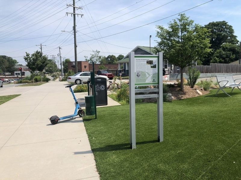
Location. 36° 4.716′ N, 79° 47.614′ W. Marker is in Greensboro, North Carolina, in Guilford County. Marker is on Battleground Avenue just north of West Smith Street, on the right when traveling north. Touch for map. Marker is at or near this postal address: 503 Battleground Ave, Greensboro NC 27401, United States of America. Touch for directions.
Other nearby markers. At least 8 other markers are within walking distance of this marker. Home Sight (a few steps from this marker); T. Gilbert Pearson (approx. 0.2 miles away); David Schenck (approx. 0.2 miles away); Dr. David P. Weir House (approx. 0.3 miles away); Fisher Park (approx. 0.3 miles away); Richardson Civic Center (approx. 0.4 miles away); Confederate Hospital (approx. 0.4 miles away); Mount Hecla Mill (approx. 0.4 miles away). Touch for a list and map of all markers in Greensboro.
Credits. This page was last revised on April 2, 2023. It was originally submitted on June 23, 2021, by Devry Becker Jones of Washington, District of Columbia. This page has been viewed 179 times since then and 21 times this year. Last updated on March 31, 2023, by Michael Buckner of Durham, North Carolina. Photos: 1, 2, 3. submitted on June 23, 2021, by Devry Becker Jones of Washington, District of Columbia. • J. Makali Bruton was the editor who published this page.


