Medical Mile in Grand Rapids in Kent County, Michigan — The American Midwest (Great Lakes)
Vandenberg Center / Arthur Hendrick Vandenberg
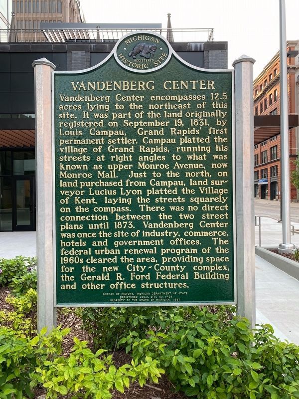
Vandenberg Center. Vandenberg Center encompasses 12.5 acres lying to the northeast of this site. It was part of the land originally registered on September 19, 1831, by Louis Campau, Grand Rapids’s first permanent settler. Campau platted the village of Grand Rapids, running his streets at right angles to what was known as upper Monroe Avenue, now Monroe Mall. Just to the north, on land purchased from Campau, land surveyor Lucius Lyon platted the Village of Kent, laying the streets squarely on the compass. There was no direct connection between the two street plans until 1873. Vandenberg Center was once the site of industry, commerce, hotels and government offices. The federal urban renewal program of the 1960s cleared the area, providing space for the new City-County complex, the Gerald R. Ford Federal Building and other office structures.
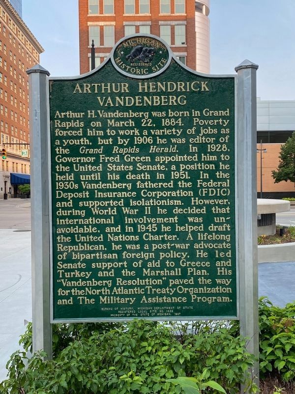
Arthur Hendrick Vandenberg. Arthur H. Vandenberg was born in Grand Rapids on March 22, 1884. Poverty forced him to work a variety of jobs as a youth, but by 1906 he was editor of the Grand Rapids Herald. In 1928, Governor Fred Green appointed him to the United States Senate, a position he held until his death in 1951. In the 1930s Vandenberg fathered the Federal Deposit Insurance Corporation (FDIC) and supported isolationism. However, during World War II he decided that international involvement was unavoidable, and in 1945 he helped draft the United Nations Charter. A lifelong Republican, he was a post-war advocate of bipartisan foreign policy. He led Senate support of aid to Greece and Turkey and the Marshall Plan. His “Vandenberg Resolution” paved the way for the North Atlantic Treaty Organization and The Military Assistance Program.
Erected 1987 by Bureau of History, Michigan Department of State. (Marker Number L1438.)
Topics and series. This historical marker is listed in this topic list: Settlements & Settlers. In addition, it is included in the Michigan Historical Commission series list. A significant historical year for this entry is 1831.
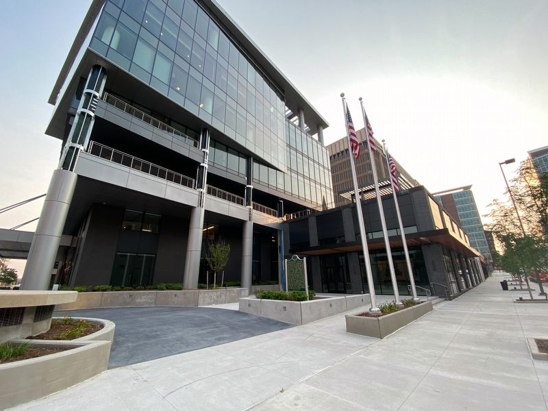
Location. 42° 58.043′ N, 85° 40.316′ W. Marker is in Grand Rapids, Michigan, in Kent County. It is in Medical Mile. Marker is at the intersection of Lyons Street Northwest and Lyons Street Northwest when traveling east on Lyons Street Northwest. Located in the open plaza on the NE corner of Monroe Ave and Lyon St. Touch for map. Marker is at or near this postal address: 200 Monroe Ave NW, Grand Rapids MI 49503, United States of America. Touch for directions.
Other nearby markers. At least 8 other markers are within walking distance of this marker. The Salvation Army (about 400 feet away, measured in a direct line); Mayor Lyman S. Parks (about 600 feet away); Village of Grand Rapids (about 600 feet away); Log Jam of 1883 (about 700 feet away); La Grande Vitesse (about 800 feet away); Grand River Bridges (approx. 0.2 miles away); Paul Steketee & Sons (approx. ¼ mile away); The Grand River (approx. ¼ mile away). Touch for a list and map of all markers in Grand Rapids.
Credits. This page was last revised on September 6, 2023. It was originally submitted on July 5, 2021, by J.T. Lambrou of New Boston, Michigan. This page has been viewed 231 times since then and 27 times this year. Last updated on September 5, 2023, by Ronald D. (Ron) Trigueiro of Fresno, California. Photos: 1, 2, 3. submitted on July 5, 2021, by J.T. Lambrou of New Boston, Michigan. • Devry Becker Jones was the editor who published this page.


