Cumberland Township near Gettysburg in Adams County, Pennsylvania — The American Northeast (Mid-Atlantic)
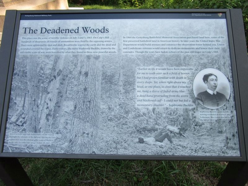
The Deadened Woods
— Gettysburg National Military Park —
In 1864 the Gettyburg Battlefield Memorial Association purchased land here, some of the first preserved battlefield land in American history. In later years the United States War Department would build avenues and construct the observation tower behind you. Union and Confederate veterans would return to dedicate monuments and honor their slain comrades. Though the scars have faded, echoes of the past still linger on Culp's Hill.
"Earlier in life it would have been impossible for me to walk over such a field of horror, but I had grown familiar with death in every shape. Yet, when right above my head, at one place, so close that it touched me, hung a sleeve of faded army blue- a dead hand protruding from the worn and blackened cuff - I could not but feel a momentary shudder." - Sophronia Bucklin
(captions)
Sophronia Bucklin spent many months nursing wounded at nearby Camp Letterman. She visited this hill in the fall of 1863.
Downed limbs and dark bullet marks on the trees highlight the intensity of the fighting . Among the early visitors here was the photographic team of Mathew Brady, who recorded this image on July 15, 1863.
Erected 2021 by National Park Service, U.S. Department of the Interior.
Topics. This historical marker is listed in this topic list: War, US Civil. A significant historical date for this entry is July 15, 1863.
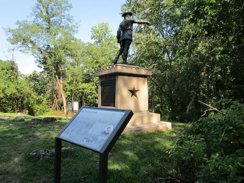
Location. 39° 49.197′ N, 77° 13.211′ W. Marker is near Gettysburg, Pennsylvania, in Adams County. It is in Cumberland Township. Marker can be reached from Slocum Avenue, 0.4 miles north of Williams Avenue, on the right when traveling west. Located east of the Culp's Hill Observation Tower near the George Sears Greene monument. Touch for map. Marker is in this post office area: Gettysburg PA 17325, United States of America. Touch for directions.
Other nearby markers. At least 8 other markers are within walking distance of this marker. Culp's Hill Rehabilitation (here, next to this marker); George Sears Greene (a few steps from this marker); Defense of Culp's Hill (a few steps from this marker); Independent Battery E (a few steps from this marker); Battery K, Fifth U.S. Artillery (a few steps from this marker); Battlefield Landmarks - North and West
(within shouting distance of this marker); Battlefield Landmarks - South and West (within shouting distance of this marker); 95th New York Infantry (within shouting distance of this marker). Touch for a list and map of all markers in Gettysburg.
Also see . . . Gettysburg National Military Park. National Park Service (Submitted on May 1, 2022.)
Credits. This page was last revised on February 7, 2023. It was originally submitted on August 26, 2021, by Anton Schwarzmueller of Wilson, New York. This page has been viewed 258 times since then and 47 times this year. Last updated on April 24, 2022, by Karl Stelly of Gettysburg, Pennsylvania. Photos: 1, 2. submitted on August 26, 2021, by Anton Schwarzmueller of Wilson, New York. • Bernard Fisher was the editor who published this page.

