Concord in Middlesex County, Massachusetts — The American Northeast (New England)
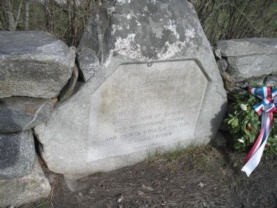
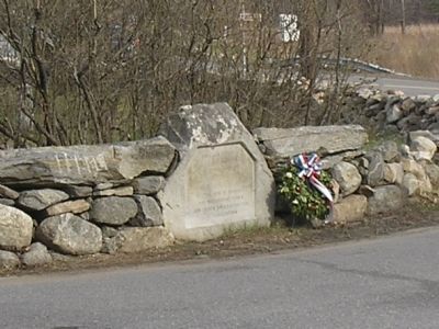
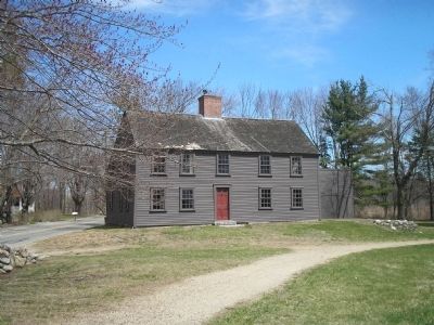
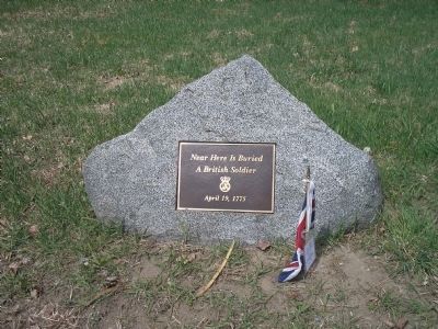
Meriamís Corner
Topics. This historical marker is listed in this topic list: War, US Revolutionary.
Location. 42° 27.566′ N, 71° 19.462′ W. Marker is in Concord, Massachusetts, in Middlesex County. Marker is at the intersection of Lexington Road and Old Bedford Road, on the right when traveling west on Lexington Road. Marker is located in Minute Man National Historical Park. Touch for map. Marker is in this post office area: Concord MA 01742, United States of America. Touch for directions.
Other nearby markers. At least 8 other markers are within walking distance of this marker. A different marker also named Meriamís Corner (within shouting distance of this marker); Bedford Minutemen (about 600 feet away, measured in a direct line); a different marker also named Meriamís Corner (about 700 feet away); Ephraim Wales Bull (approx. 0.4 miles away); Nathaniel Hawthorne (approx. half a mile away); The Larch Path (approx. half a mile away); The First Settlement - 1635 (approx. half a mile away); Caseyís Home (approx. half a mile away). Touch for a list and map of all markers in Concord.
Also see . . .
1. Minute Man National Historical Park. National Park Service website. (Submitted on April 18, 2009, by Bill Coughlin of Woodland Park, New Jersey.)
2. The Battle of Concord. The American Revolutionary War website. (Submitted on May 7, 2009, by Bill Coughlin of Woodland Park, New Jersey.)
Credits. This page was last revised on July 19, 2022. It was originally submitted on April 18, 2009, by Bill Coughlin of Woodland Park, New Jersey. This page has been viewed 1,525 times since then and 19 times this year. Last updated on February 10, 2022, by Carl Gordon Moore Jr. of North East, Maryland. Photos: 1, 2, 3, 4. submitted on April 18, 2009, by Bill Coughlin of Woodland Park, New Jersey. • J. Makali Bruton was the editor who published this page.


