Flatlands in Brooklyn in Kings County, New York — The American Northeast (Mid-Atlantic)
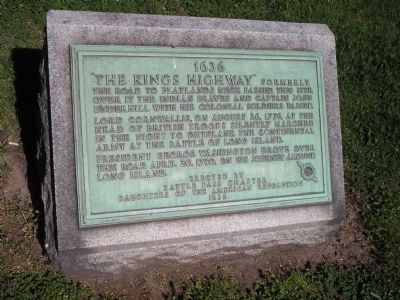
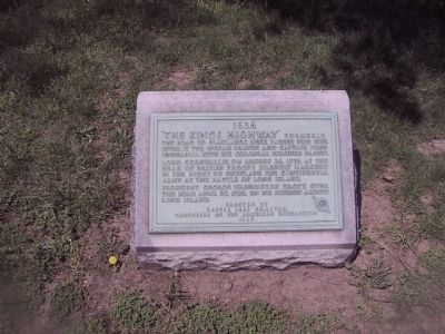
The Kings Highway
1636
Erected 1935 by Battle Pass Chapter Daughters of the American Revolution.
Topics and series. This historical marker is listed in these topic lists: Colonial Era • Native Americans • Roads & Vehicles • War, US Revolutionary. In addition, it is included in the Daughters of the American Revolution, and the Former U.S. Presidents: #01 George Washington series lists. A significant historical date for this entry is August 25, 1776.
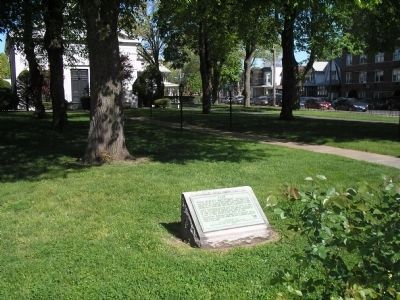
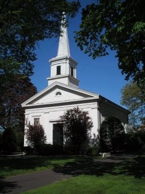
Location. 40° 37.424′ N, 73° 56.146′ W. Marker is in Brooklyn, New York, in Kings County. It is in Flatlands. Marker is on Kings Highway. Located on the grounds of the Flatlands Dutch Reformed Church. Touch for map. Marker is at or near this postal address: 3931 Kings Highway, Brooklyn NY 11234, United States of America. Touch for directions.
Other nearby markers. At least 8 other markers are within walking distance of this marker. Dutch Reformed Church of Flatlands (within shouting distance of this marker); Robert J Crawford (about 700 feet away, measured in a direct line); Thomas F Norton (about 700 feet away); Father Kehoe Triangle (approx. ¼ mile away); John J. Fraser (approx. 0.4 miles away); Marine Major Eugene McCarthy (approx. 0.6 miles away); Floyd Bennett Post # 1060 (approx. 0.9 miles away); Lt. Kenneth E Aimee (approx. 0.9 miles away). Touch for a list and map of all markers in Brooklyn.
Also see . . . The Kings Highway Dutch Reformed Church - A Brooklyn Historical Landmark. (Submitted on May 3, 2009, by Bill Pfingsten of Bel Air, Maryland.)
Credits. This page was last revised on October 5, 2023. It was originally submitted on April 28, 2009, by Erik Lander of Brooklyn, New York. This page has been viewed 2,089 times since then and 49 times this year. Last updated on October 3, 2023, by Carl Gordon Moore Jr. of North East, Maryland. Photos: 1. submitted on April 24, 2010, by Bill Coughlin of Woodland Park, New Jersey. 2. submitted on April 28, 2009, by Erik Lander of Brooklyn, New York. 3, 4. submitted on April 24, 2010, by Bill Coughlin of Woodland Park, New Jersey. • Bill Pfingsten was the editor who published this page.


