Kennebunk in York County, Maine — The American Northeast (New England)
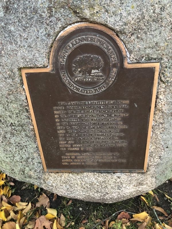
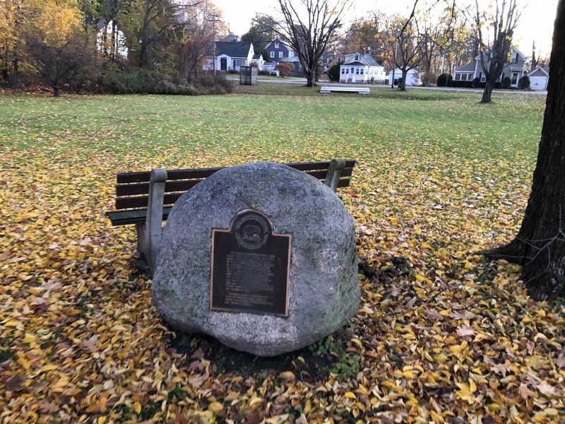
Lafayette Elm Site
Erected by the Town of Kennebunk and James P. Storer, descendant of Lafayette's host, Col. Joseph A. Storer.
Topics. This historical marker is listed in these topic lists: Horticulture & Forestry • Notable Events • Patriots & Patriotism. A significant historical date for this entry is June 25, 1825.
Location. 43° 23.204′ N, 70° 32.593′ W. Marker is in Kennebunk, Maine, in York County. Marker is on Storer Street just north of Berry Court, on the right when traveling north. Touch for map. Marker is at or near this postal address: 16 Storer St, Kennebunk ME 04043, United States of America. Touch for directions.
Other nearby markers. At least 8 other markers are within walking distance of this marker. The Storer Residence / La Résidence Storer (a few steps from this marker); The Lafayette Center / Le Centre Lafayette (about 600 feet away, measured in a direct line); Kennebunk, Maine (about 600 feet away); Kennebunk Rotary Club (about 700 feet away); The Ross Block and The Kennebunk Inn / Le Bâtiment Ross et l'Auberge de Kennebunk (about 700 feet away); The Bourne Mansion / La Résidence Bourne (about 700 feet away); The Mousam River / Le Fleuve Mousam (about 800 feet away); Waterhouse Center (approx. 0.2 miles away). Touch for a list and map of all markers in Kennebunk.
Credits. This page was last revised on August 27, 2023. It was originally submitted on November 20, 2021, by Devry Becker Jones of Washington, District of Columbia. This page has been viewed 243 times since then and 27 times this year. Last updated on August 17, 2023, by Carl Gordon Moore Jr. of North East, Maryland. Photos: 1, 2. submitted on November 20, 2021, by Devry Becker Jones of Washington, District of Columbia. • J. Makali Bruton was the editor who published this page.

