Varina in Henrico County, Virginia — The American South (Mid-Atlantic)
New Market Heights
To Surprise and Capture Richmond
"The prize sought is either Richmond or Petersburg, or a position that will secure the fall of the latter." — Gen. Ulysses S. Grant, US Army
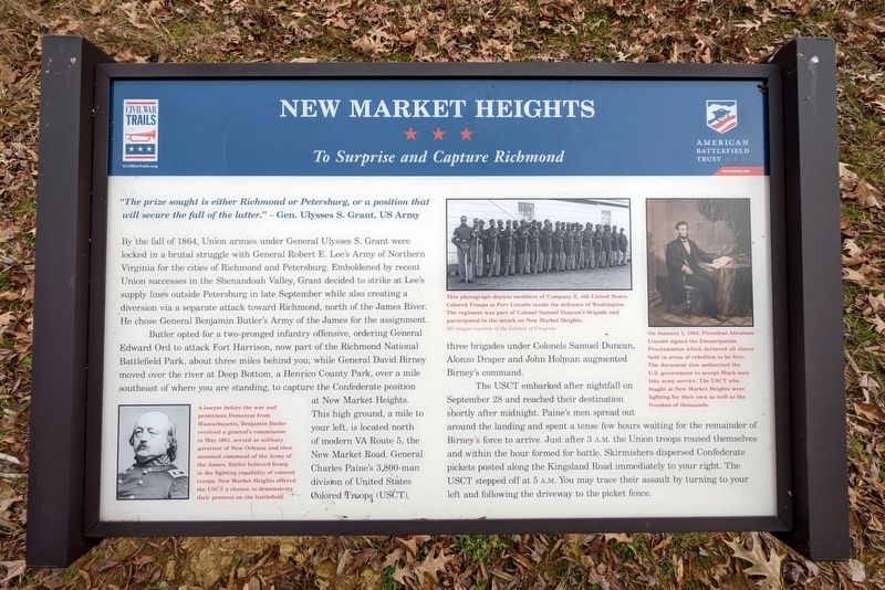
By the fall of 1864, Union armies under General Ulysses S. Grant were locked in a brutal struggle with General Robert E. Lee's Army of Northern Virginia for the cities of Richmond and Petersburg. Emboldened by recent Union Successes in the Shenandoah Valley, Grant decided to strike at Lee's supply lines outside Petersburg in late September while also creating a diversion via a separate attack toward Richmond, north of the James River. He chose General Benjamin Butler's Army of the James for the assignment.
Butler opted for a two-pronged infantry offensive, ordering General Edward Ord to attack Fort Harrison, now part of the Richmond National Battlefield Park, about three miles behind you; while General David Birney moved over the river at Deep Bottom, a Henrico County Park, over a mile southeast of where you are standing, to capture the Confederate position at New Market Heights. This high ground, a mile to your left, is located north of modern VA Route 5, the New Market Road. General Charles Paine's 3,800-man division of United States Colored Troops (USCT), three brigades under Colonels Samuel Duncan, Alonzo Draper and John Holman augmented Birney's command.
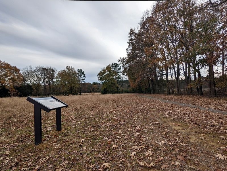
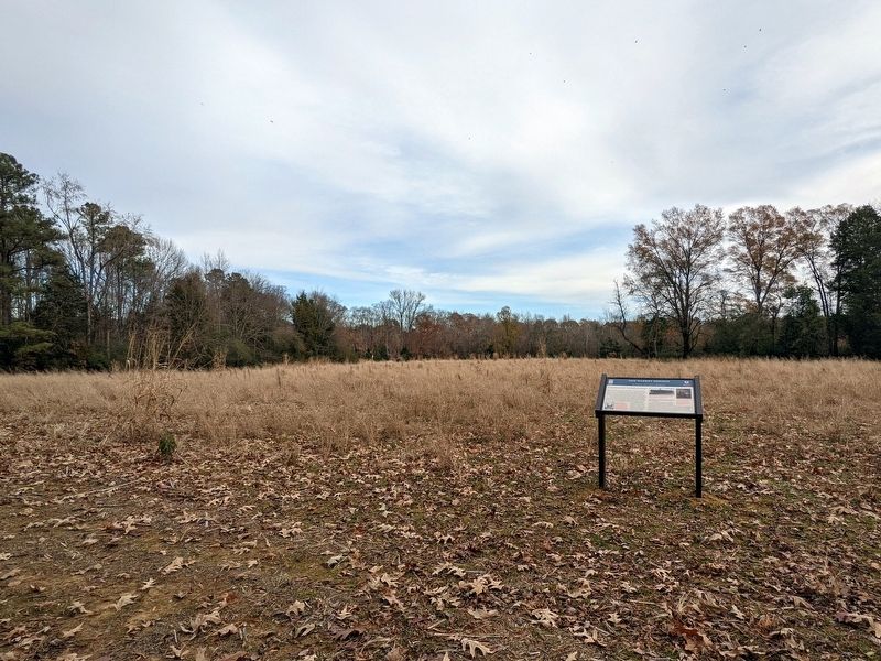
The USCT embarked after nightfall on September 28 and reached their destination shortly after midnight. Paine's men spread out around the landing and spent a tense few hours waiting for the remainder of Birney's force to arrive. Just after 3 A.M. the Union troops roused themselves and within the hour formed for battle. Skirmishers dispersed Confederate pickets posted along the Kingsland Road immediately to your right. The USCT stepped off at 5 A.M. You may trace their assault by turning to your left and following the driveway to the picket fence.
(captions)
A lawyer before the war and prominent Democrat from Massachusetts, Benjamin Butler received a general's commission in May 1861, served as military governor of New Orleans and then assumed command of the Army of the James. Butler believed firmly in the fighting capability of colored troops. New Market Heights offered the USCT a chance to demonstrate their prowess on the battlefield.
This photograph depicts members of Company E, 4th United States Colored Troops at Fort Lincoln inside the defenses of Washington. The regiment was part of Colonel Samuel Duncan's brigade and participated in the attack on New Market Heights. All images courtesy of the Library of Congress
On January 1, 1863, President Abraham Lincoln signed the Emancipation Proclamation which declared all slaves held in areas of rebellion to be free. The document also authorized the U.S. government to accept Black men into army service. The USCT who fought at New Market Heights were fighting for their own as well as the freedom of thousands.
Erected 2021 by Civil War Trails, American Battlefield Trust.
Topics and series. This historical marker is listed in these topic lists: African Americans • War, US Civil. In addition, it is included in the Virginia Civil War Trails series list. A significant historical date for this entry is September 29, 1864.
Location. 37° 25.342′ N, 77° 19.229′ W. Marker is in Varina, Virginia, in Henrico County. Marker can be reached from Kingsland Road, 0.3 miles west of Deep Bottom Road, on the right when traveling west. Touch for map. Marker is in this post office area: Henrico VA 23231, United States of America. Touch for directions.
Other nearby markers. At least 8 other markers are within one mile of this marker, measured as the crow flies. A different marker also named New Market Heights (about 700 feet away, measured in a direct line); a different marker also named New Market Heights (about 700 feet away); Battle of New Market Heights (approx. 0.6 miles away); The War of 1812 / Richmond's War of 1812 Defensive Camps (approx. 0.6 miles away); New Market Road (approx. ¾ mile away); George Thorpe (approx. 0.9 miles away); a different marker also named New Market Heights (approx. one mile away); Varina (approx. one mile away). Touch for a list and map of all markers in Varina.
Also see . . . New Market Heights (Chaffin's Farm). American Battlefield Trust (Submitted on December 1, 2021.)
Credits. This page was last revised on December 1, 2021. It was originally submitted on December 1, 2021, by Bernard Fisher of Richmond, Virginia. This page has been viewed 264 times since then and 41 times this year. Photos: 1, 2, 3. submitted on December 1, 2021, by Bernard Fisher of Richmond, Virginia.


