Merrillville in Lake County, Indiana — The American Midwest (Great Lakes)
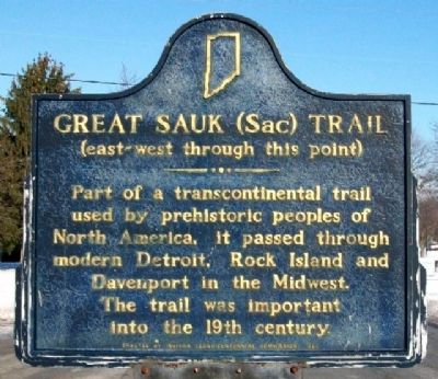
Great Sauk (Sac) Trail
(east-west through this point)
Erected 1966 by Indiana Sesquicentennial Commission. (Marker Number 45.1966.1.)
Topics and series. This historical marker is listed in these topic lists: Native Americans • Roads & Vehicles. In addition, it is included in the Indiana Historical Bureau Markers series list.
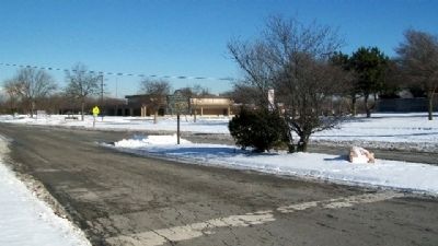
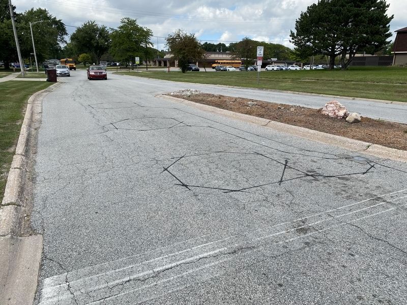
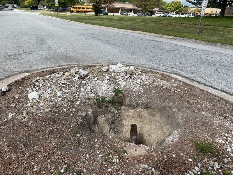
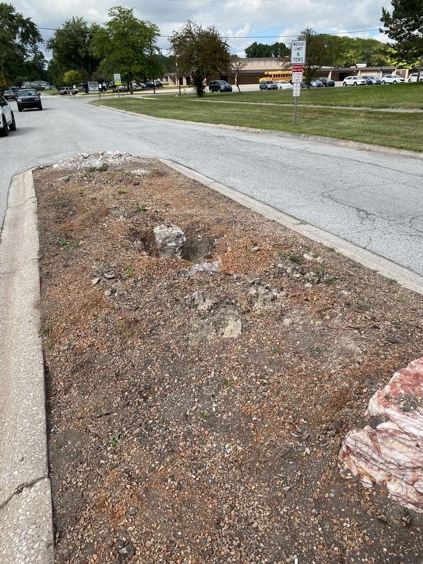
Location. Marker has been reported missing. It was located near 41° 29.154′ N, 87° 20.768′ W. Marker was in Merrillville, Indiana, in Lake County. Marker was at the intersection of Van Buren Street and 73rd Avenue (Old Lincoln Highway), in the median on Van Buren Street. Marker is about 400 feet south of Homer Iddings Elementary School, and across 73rd Avenue from St. Andrew the Apostle Roman Catholic Church. Touch for map. Marker was at or near this postal address: 800 W 73rd Ave, Merrillville IN 46410, United States of America. Touch for directions.
Other nearby markers. At least 8 other markers are within 5 miles of this location, measured as the crow flies. First Physician (approx. 1.4 miles away); W.W.II Triangle Memorial (approx. 4˝ miles away); Indiana University Northwest (approx. 4.8 miles away); The Old Lake County Courthouse, 1878 (approx. 4.8 miles away); Crown Point World War II Veterans Memorial (approx. 4.8 miles away); Elgin, Joliet, & Eastern Railway Interlocking Tower (approx. 4.9 miles away); Griffith's Grand Trunk Depot Museum (approx. 4.9 miles away); Carnegie Center 1908 (approx. 4.9 miles away).
Also see . . . Sauk Trail. (Submitted on February 21, 2010, by William Fischer, Jr. of Scranton, Pennsylvania.)
Additional keywords. Sauk Trail
Credits. This page was last revised on August 26, 2023. It was originally submitted on February 21, 2010, by William Fischer, Jr. of Scranton, Pennsylvania. This page has been viewed 1,656 times since then and 31 times this year. Last updated on August 24, 2023, by Lou Donkle of Valparaiso, Indiana. Photos: 1, 2. submitted on February 21, 2010, by William Fischer, Jr. of Scranton, Pennsylvania. 3, 4, 5. submitted on August 28, 2022, by Lou Donkle of Valparaiso, Indiana. • J. Makali Bruton was the editor who published this page.
