Romney in Hampshire County, West Virginia — The American South (Appalachia)
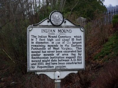
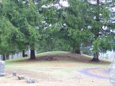
Indian Mound
Erected 1983 by West Virginia Historic Commission.
Topics and series. This historical marker is listed in these topic lists: Anthropology & Archaeology • Cemeteries & Burial Sites • Native Americans. In addition, it is included in the West Virginia Archives and History series list.
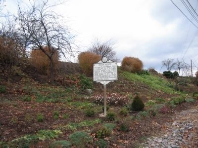
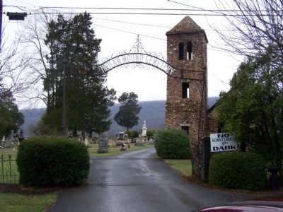
Location. 39° 20.5′ N, 78° 45.991′ W. Marker is in Romney, West Virginia, in Hampshire County. Marker is on U.S. 50, on the right when traveling west. Touch for map. Marker is in this post office area: Romney WV 26757, United States of America. Touch for directions.
Other nearby markers. At least 8 other markers are within walking distance of this marker. Mt. Pisgah Benevolence Cemetery (within shouting distance of this marker); Confederate Memorial (about 400 feet away, measured in a direct line); Fort Pearsall 1754 (about 500 feet away); Indian Mound Cemetery (about 500 feet away); W.VA.'s Oldest Public Office Building (approx. half a mile away); Romney's Oldest House (approx. half a mile away); Taggart-Hall House (approx. half a mile away); Romney in Union Hands (approx. half a mile away). Touch for a list and map of all markers in Romney.
Credits. This page was last revised on August 29, 2020. It was originally submitted on May 25, 2009, by Bill Pfingsten of Bel Air, Maryland. This page has been viewed 2,144 times since then and 21 times this year. Last updated on August 28, 2020, by Bradley Owen of Morgantown, West Virginia. Photos: 1, 2. submitted on May 25, 2009, by Bill Pfingsten of Bel Air, Maryland. 3. submitted on December 3, 2009, by Craig Swain of Leesburg, Virginia. 4. submitted on May 25, 2009, by Bill Pfingsten of Bel Air, Maryland. • Devry Becker Jones was the editor who published this page.


