Plymouth in Plymouth County, Massachusetts — The American Northeast (New England)
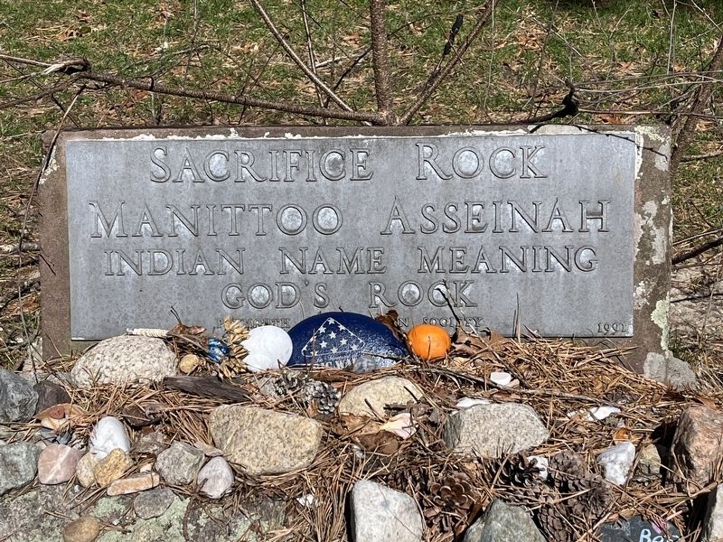
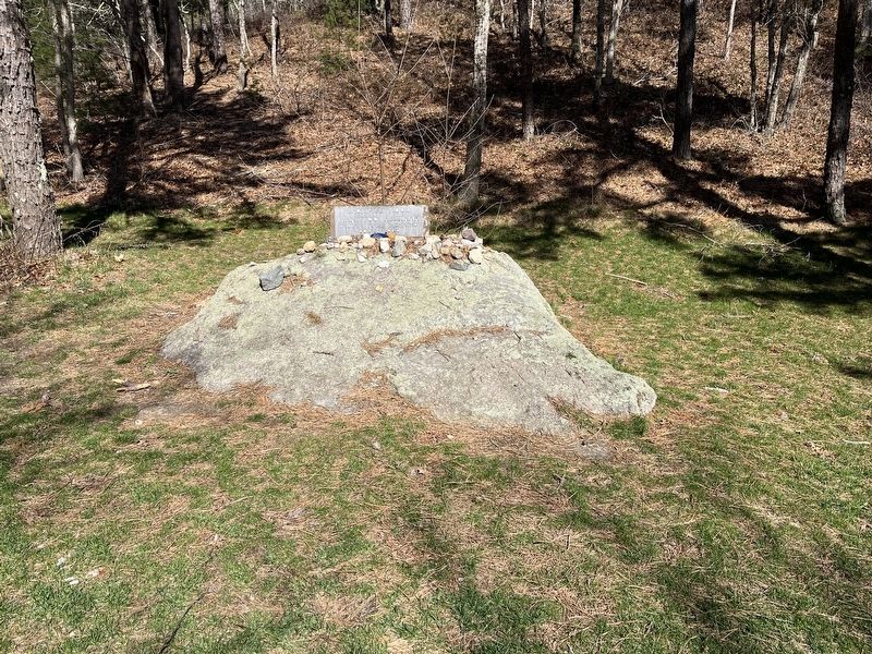
Sacrifice Rock
Manittoo Asseinah
Indian Name Meaning
God's Rock
Erected by Plymouth Antiquarian Society.
Topics. This historical marker is listed in these topic lists: Colonial Era • Native Americans.
Location. 41° 54.136′ N, 70° 35.803′ W. Marker is in Plymouth, Massachusetts, in Plymouth County. Marker is at the intersection of Old Sandwich Road and Sacrifice Rock Road, on the right when traveling north on Old Sandwich Road. Touch for map. Marker is at or near this postal address: 394 Old Sandwich Rd, Plymouth MA 02360, United States of America. Touch for directions.
Other nearby markers. At least 8 other markers are within 5 miles of this marker, measured as the crow flies. Plymouth Veterans Memorial (approx. 2.1 miles away); Brewster Gardens (approx. 5 miles away); Plimoth Grist Mill (approx. 5 miles away); Leyden Street (approx. 5 miles away); Pilgrim Maiden (approx. 5 miles away); 1630-1930 (approx. 5 miles away); Granite Remnant of the First Canopy Over Plymouth Rock (approx. 5 miles away); William Bradford (approx. 5 miles away). Touch for a list and map of all markers in Plymouth.
Also see . . .
1. Plymouth Antiquarian Society. (Submitted on April 10, 2022, by Michael Herrick of Southbury, Connecticut.)
2. Sacrifice Rock (Wikipedia) . (Submitted on April 10, 2022, by Michael Herrick of Southbury, Connecticut.)
Credits. This page was last revised on May 14, 2023. It was originally submitted on April 4, 2022, by Ralph Cahoon of Barnstable, Massachusetts. This page has been viewed 226 times since then and 13 times this year. Last updated on March 25, 2023, by Marc Belanger of Reno, Nevada. Photos: 1, 2. submitted on April 4, 2022, by Ralph Cahoon of Barnstable, Massachusetts. • J. Makali Bruton was the editor who published this page.

