McConnellsburg in Fulton County, Pennsylvania — The American Northeast (Mid-Atlantic)
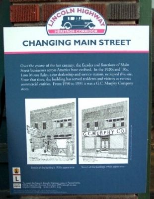
Changing Main Street
Lincoln Highway Heritage Corridor
Topics and series. This historical marker is listed in these topic lists: Industry & Commerce • Roads & Vehicles. In addition, it is included in the Lincoln Highway series list. A significant historical year for this entry is 1950.
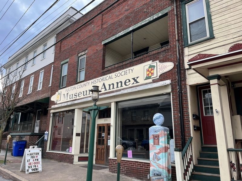
Location. 39° 55.918′ N, 77° 59.863′ W. Marker is in McConnellsburg, Pennsylvania, in Fulton County. Marker is on Lincoln Highway East (Pennsylvania Route 16), on the right when traveling east. Touch for map. Marker is at or near this postal address: 211 Lincoln Highway East, Mc Connellsburg PA 17233, United States of America. Touch for directions.
Other nearby markers. At least 8 other markers are within walking distance of this marker. 209 Lincoln Way East (a few steps from this marker); 205 Lincoln Way East (within shouting distance of this marker); 203 Lincoln Way East (within shouting distance of this marker); Traveling the Lincoln Highway (within shouting distance of this marker); 111 Lincoln Way East (about 300 feet away, measured in a direct line); 105 Lincoln Way East (about 400 feet away); 119 North 2nd Street (about 500 feet away); United Presbyterian Church (about 600 feet away). Touch for a list and map of all markers in McConnellsburg.
Also see . . . The Lincoln Highway Heritage Corridor. (Submitted on June 3, 2009, by Christopher Busta-Peck of Shaker Heights, Ohio.)

Photographed By Devry Becker Jones (CC0), February 19, 2022
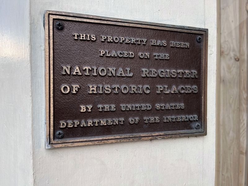
4. National Register of Historic Places plaque for the building
Credits. This page was last revised on February 20, 2022. It was originally submitted on May 31, 2009, by William Fischer, Jr. of Scranton, Pennsylvania. This page has been viewed 1,079 times since then and 20 times this year. Last updated on February 21, 2021, by Carl Gordon Moore Jr. of North East, Maryland. Photos: 1. submitted on May 31, 2009, by William Fischer, Jr. of Scranton, Pennsylvania. 2. submitted on February 20, 2022, by Devry Becker Jones of Washington, District of Columbia. 3. submitted on May 31, 2009, by William Fischer, Jr. of Scranton, Pennsylvania. 4. submitted on February 20, 2022, by Devry Becker Jones of Washington, District of Columbia. • Bill Pfingsten was the editor who published this page.


