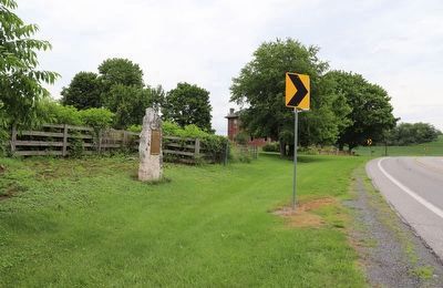
Dublin Township near Fort Littleton in Fulton County, Pennsylvania — The American Northeast (Mid-Atlantic)
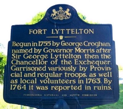
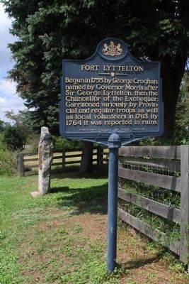
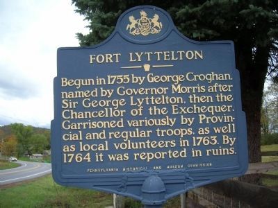
Fort Lyttelton
Erected 1967 by Pennsylvania Historical and Museum Commission.
Topics and series. This historical marker is listed in these topic lists: Colonial Era • Forts and Castles • War, French and Indian. In addition, it is included in the Pennsylvania Historical and Museum Commission series list. A significant historical year for this entry is 1755.
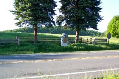
Location. Marker has been reported missing. It was located near 40° 3.804′ N, 77° 57.662′ W. Marker was near Fort Littleton, Pennsylvania, in Fulton County. It was in Dublin Township. Marker was on Great Cove Road (U.S. 522) 0.1 miles east of Sinoquipe Road (Pennsylvania Route 1101), on the left when traveling east. Touch for map. Marker was in this post office area: Fort Littleton PA 17223, United States of America. Touch for directions.
Other nearby markers. At least 8 other markers are within 10 miles of this location, measured as the crow flies. Fort Littleton (here, next to this marker); Burnt Cabins (approx. 3.2 miles away); Forbes Road (approx. 3.3 miles away); a different marker also named Burnt Cabins (approx. 3.6 miles away); Blue Star Memorial Highway (approx. 6.4 miles away); Veterans Memorial (approx. 8.9 miles away); a different marker also named Veterans Memorial (approx. 8.9 miles away); George Diven (approx. 9.1 miles away).
Credits. This page was last revised on July 3, 2023. It was originally submitted on June 1, 2009, by William Fischer, Jr. of Scranton, Pennsylvania. This page has been viewed 1,490 times since then and 55 times this year. Last updated on July 2, 2023, by Dave W of Co, Colorado. Photos: 1. submitted on June 1, 2009, by William Fischer, Jr. of Scranton, Pennsylvania. 2. submitted on July 30, 2012, by Dave Kerr of Carlisle, Pennsylvania. 3. submitted on June 29, 2010, by Howard C. Ohlhous of Duanesburg, New York. 4. submitted on June 1, 2009, by William Fischer, Jr. of Scranton, Pennsylvania. 5. submitted on July 2, 2023, by Dave W of Co, Colorado. • J. Makali Bruton was the editor who published this page.
