Near Wilberforce in Greene County, Ohio — The American Midwest (Great Lakes)
Stevenson Road Bridge
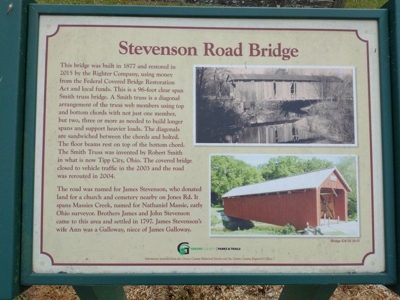
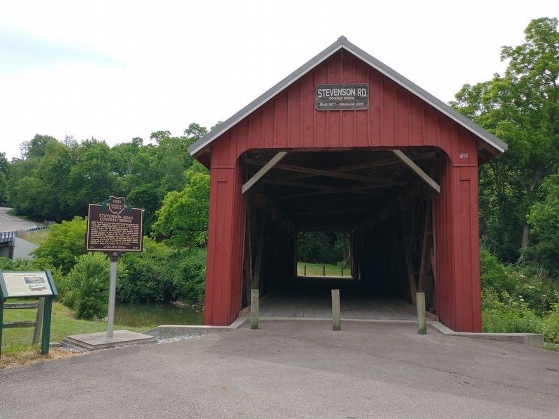
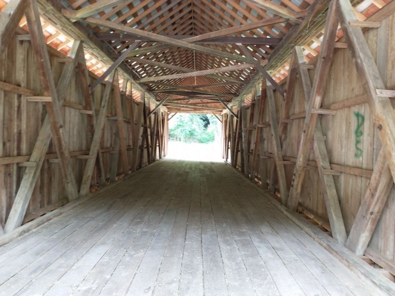
This bridge was built in 1877 and restored in 2015 by the Righter Company, using money from the Federal Covered Bridge Restoration Act and local funds. This is a 96-foot clear span Smith truss bridge. A Smith truss is a diagonal arrangement of the truss web members using top and bottom chords with not just one member, but two, three or more as needed to build longer spans and support heavier loads. The diagonals are sandwiched between the chords and bolted. The floor beams rest on top of the bottom chord. The Smith Truss was invented by Robert Smith in what is now Tipp City, Ohio. The covered bridge closed to vehicle traffic in the 2003 and the road was rerouted in 2004.
The road was named for James Stevenson, who donated land for a church and cemetery nearby on Jones Rd. It spans Massies Creek, named for Nathaniel Massie, early Ohio surveyor. Brothers James and John Stevenson came to this area and settled in 1797. James Stevenson's wife Ann was a Galloway, niece of James Galloway.
Bridge ID# 35.29.15
Erected by Greene County Historical Society and the Greene County Engineer's Office.
Topics. This historical marker is listed in this topic list: Bridges & Viaducts. A significant historical year for this entry is 1877.
Location. 39° 44.093′ N, 83° 53.924′ W. Marker is near Wilberforce, Ohio, in Greene County. Marker is at the intersection of Stevenson Road and Jones Road, on the right when traveling south on Stevenson Road. Touch for map. Marker is at or near this postal address: 1877 Stevenson Rd, Xenia OH 45385, United States of America. Touch for directions.
Other nearby markers. At least 8 other markers are within 2 miles of this marker, measured as the crow flies. Stevenson Road Covered Bridge (here, next to this marker); Stevenson Cemetery Gate (approx. 0.4 miles away); Veterans Memorial (approx. 0.4 miles away); Stevenson Cemetery Veterans Memorial (approx. half a mile away); Kezia Emery Hall (1913) (approx. 1˝ miles away); Carnegie Library (1907) (approx. 1˝ miles away); Payne Theological Seminary (approx. 1˝ miles away); Old Wilberforce University Campus at Tawawa Springs (approx. 1˝ miles away). Touch for a list and map of all markers in Wilberforce.
Credits. This page was last revised on February 23, 2023. It was originally submitted on July 10, 2022, by Craig Doda of Napoleon, Ohio. This page has been viewed 158 times since then and 28 times this year. Last updated on January 25, 2023, by Craig Doda of Napoleon, Ohio. Photos: 1, 2, 3. submitted on July 10, 2022, by Craig Doda of Napoleon, Ohio. • Bill Pfingsten was the editor who published this page.


