Miller Beach in Gary in Lake County, Indiana — The American Midwest (Great Lakes)
History of Marquette Park
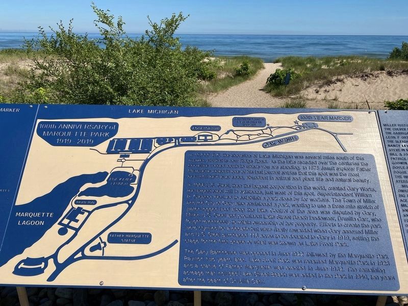
100th Anniversary of Marquette Park, 1919-2019
Inscription.
In 13,000 BC the shoreline of Lake Michigan was several miles south of this marker, at what is now Ridge Road. As the lake receded over the centuries the shoreline inched north to where you are standing. In 1675 Jesuit explorer Father Marquette noted in one of his last journal entries that this spot was the most beautiful he'd ever seen, abundant in animal and plant life and natural beauty.
In 1906 U.S. Steel, then the largest corporation in the world, created Gary Works, the largest steel mill in existence, just west of this spot. Superintendent William P. Gleason desired to establish a park close by for workers. The Town of Miller and the City of Gary also envisioned a park, wanting to use a three-mile stretch of water-logged land along the lake. Control of the area was disputed by Gary, Miller, US. Steel and prominent Lake Street Beach landowner, Drusilla Carr, who fought relentlessly to retain ownership of her property. Efforts to create the park were stymied for a decade but were finally rewarded when Gary annexed Miller and U.S. Steel purchased 116 acres to be donated to Gary in 1919, setting the stage for the first phase of what was known as Lake Front Part.
The Gary Bathhouse was opened in June 1922 followed by the Marquette Park Pavilion two years later. Lake Front Park was renamed Marquette Park in 1923 and a Statue of Father Marquette was erected in June 1932. The remaining acreage that included Lake Street Beach was added to the Park in 1940, ten years after the death of Drusilla Carr.
Erected 2019 by Friends of Marquette Park.
Topics. This historical marker is listed in these topic lists: African Americans • Churches & Religion • Exploration • Industry & Commerce. A significant historical year for this entry is 1919.
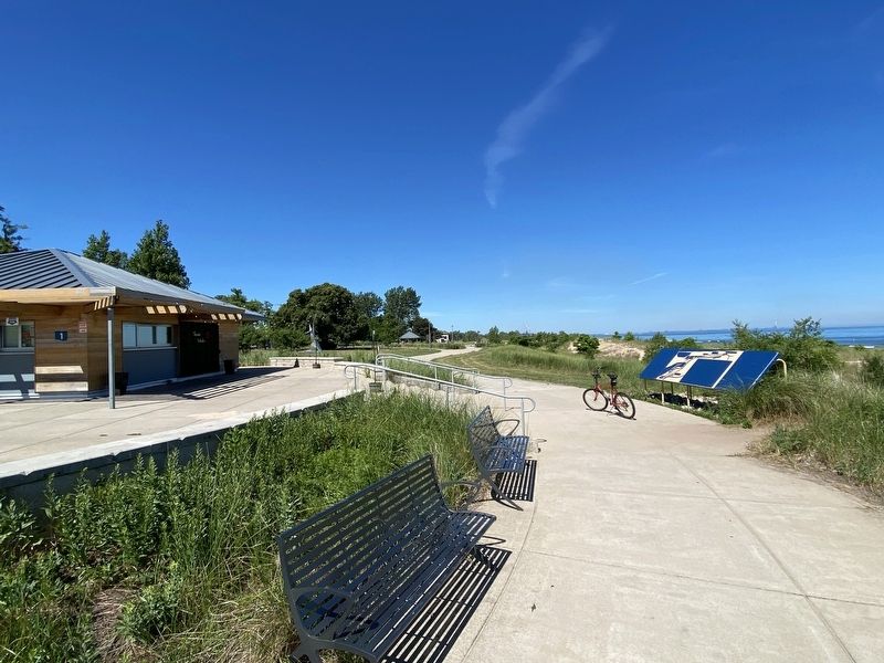
Location. 41° 37.229′ N, 87° 15.179′ W. Marker is in Gary, Indiana, in Lake County. It is in Miller Beach. Marker can be reached from Oak Avenue west of Montgomery Street, on the right when traveling west. Marker is located on the patio north of the visitors beach pavilion facing the lake. Touch for map. Marker is at or near this postal address: 7132 Oak Ave, Gary IN 46403, United States of America. Touch for directions.
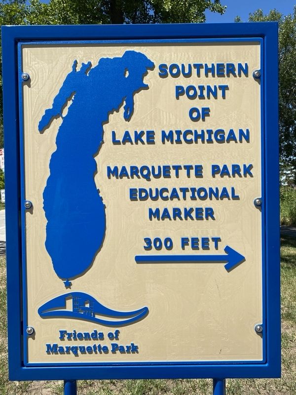
Other nearby markers. At least 8 other markers are within walking distance of this marker. Southern Point of Lake Michigan (about 300 feet away, measured in a direct line); Shipwreck Archeology (approx. 0.2 miles away); Tuskegee Airmen Remembered (approx. 0.2 miles away); Gary Bathing Beach Aquatorium (approx. 0.2 miles away); Octave Chanute (approx. ¼ mile away); Octave Chanute 1832-1910 (approx. ¼ mile away); a different marker also named Octave Chanute (approx. ¼ mile away); Chanute Glider (approx. ¼ mile away). Touch for a list and map of all markers in Gary.
Related markers. Click here for a list of markers that are related to this marker. Marquette Park, Gary, Indiana. Markers are listed from east to west along Oak Avenue.
Also see . . .
1. Miller Beach History. Website homepage of a local Miller Beach historian:
Miller, annexed by Gary, Indiana by common council ordinance on February 17, 1919, signed into law by the mayor on the 20th. Miller is older than Gary, which was founded in 1906. Situated at the south end of Lake Michigan, the land is former lake bottom with sandy soil and an abundance of wetlands. Teeming with fish, wildlife and berries, it was a popular hunting and food gathering area for the Indians.(Submitted on July 23, 2022, by Lou Donkle of Valparaiso, Indiana.)
Miller's history began in 1851 when a train stop, eventually called "Miller's Station", was constructed by a predecessor of Lake Shore and Michigan Southern Railroad.
2. “From Bog to Park – the Annexation of Miller and the Building of Marquette Park”. Website of a local Miller Beach historian.
The history of Marquette Park is entwined with the history of the annexation of Miller. It is difficult to separate them; ultimately the securing of a park on the lake front depended on the annexation of the town. This is that story as told through newspapers of the day.(Submitted on July 25, 2022, by Lou Donkle of Valparaiso, Indiana.)
Credits. This page was last revised on December 29, 2023. It was originally submitted on July 23, 2022, by Lou Donkle of Valparaiso, Indiana. This page has been viewed 117 times since then and 32 times this year. Last updated on November 16, 2023, by Lou Donkle of Valparaiso, Indiana. Photos: 1, 2, 3, 4. submitted on July 23, 2022, by Lou Donkle of Valparaiso, Indiana. • Devry Becker Jones was the editor who published this page.


