Brownsville in Washington County, Maryland — The American Northeast (Mid-Atlantic)
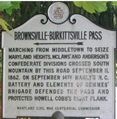
Brownsville-Burkittsville Pass
Marching from Middletown to seize Maryland Heights, McLaws’ and Anderson’s Confederate Divisions crossed South Mountain by this road September 11, 1862. On September 14th Manly’s N.C. Battery and elements of Semmes’ Brigade defended the pass and protected Howell Cobb's right flank.
Erected by Maryland Civil War Centennial Commission.
Topics. This historical marker is listed in this topic list: War, US Civil. A significant historical month for this entry is September 1860.
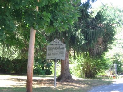
Location. 39° 22.919′ N, 77° 39.637′ W. Marker is in Brownsville, Maryland, in Washington County. Marker is at the intersection of Boteler Road and Brownsville Pass Road, on the left when traveling south on Boteler Road. Touch for map. Marker is in this post office area: Brownsville MD 21715, United States of America. Touch for directions.
Other nearby markers. At least 8 other markers are within 2 miles of this marker, measured as the crow flies. St. Luke’s Episcopal Church (approx. 0.6 miles away); Battle of Maryland Heights (approx. one mile away); “Crampton Gap” (approx. 1.3 miles away); Forest of Needwood (approx. 1.6 miles away); Confederate Forces (approx. 1.7 miles away); “Sealed With Their Lives” (approx. 1.8 miles away); Chew’s Ashby Artillery (approx. 1.8 miles away); Burkittsville: Henry Burkitt’s Town (approx. 1.8 miles away). Touch for a list and map of all markers in Brownsville.
Regarding Brownsville-Burkittsville Pass. The Brownsville Pass Road, described on the marker as the route over South Mountain, is no longer maintained. A trail still traces its path over the mountain, but the road dead ends about a half mile east of the marker.
Also see . . . Crampton's Gap or South Mountain, Which is it?. Antietam on the Web entry:
Timothy Reese places the fighting along South Mountain on September 14, 1862 in context to the Antietam Campaign. Of note, scroll about halfway down the page to see a panoramic view of South Mountain with the gaps and other terrain features pointed out. From this perspective, clearly Brownsville Gap was the right anchor of the Confederate's eight mile front along South Mountain. (Submitted on August 13, 2007, by Craig Swain of Leesburg, Virginia.)
Photographed By Craig Swain, July 21, 2007
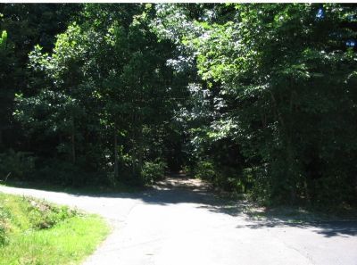
3. Brownsville Pass Road
The present day road dead ends near the edge of South Mountain State Park. The old road bed trace does pass over the mountain, intersecting the Appalachian Trail along the mountain crest. The best way to see Brownsville Pass today is via the Appalachian Trail, avoiding the rather steep hike up Brownsville Pass.
Photographed By Craig Swain, July 21, 2007
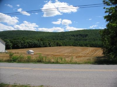
4. Brownsville Pass From the West
Semmes' Brigade and Manly's Battery defended the pass from the crest of the mountain. After the retreat from Crampton's Gap, those forces fell back into Brownsville to anchor the Confederate lines across Pleasant Valley (where this picture was taken).
Photographed By Craig Swain, August 5, 2007
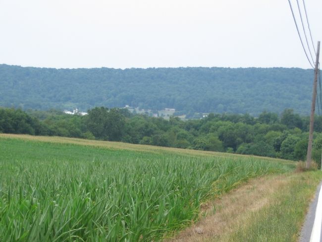
5. Brownsville Pass From the East Side
Looking at South Mountain from just east of Burkittsville, this gives an appreciation for the rolling terrain around South Mountain, and the imposing heights where the Confederates defended. Brownsville Pass Road runs sharply northeast-southwest across the crest of the mountain. Elements Semmes' Brigade advanced to the farmland in at the base of the mountain during the fighting at Crampton's Gap (just to the right out of frame). Manly's Artillery remained on the top of the mountain, firing upon the Federal flanks in the valley.
Credits. This page was last revised on March 6, 2022. It was originally submitted on August 13, 2007, by Craig Swain of Leesburg, Virginia. This page has been viewed 2,364 times since then and 47 times this year. Last updated on January 29, 2020, by Bradley Owen of Morgantown, West Virginia. Photos: 1, 2, 3, 4, 5. submitted on August 13, 2007, by Craig Swain of Leesburg, Virginia. • Bill Pfingsten was the editor who published this page.
