Near Phoenix in Baltimore County, Maryland — The American Northeast (Mid-Atlantic)
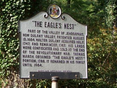
“The Eagle’s Nest”
Erected 1969 by Maryland Historical Society.
Topics. This historical marker is listed in these topic lists: Colonial Era • Settlements & Settlers • War, US Revolutionary. A significant historical year for this entry is 1684.
Location. 39° 28.245′ N, 76° 34.57′ W. Marker is near Phoenix, Maryland, in Baltimore County. Marker is on Jarrettsville Pike (Maryland Route 146) 0.7 miles north of Dulaney Valley Road, on the right when traveling north. Touch for map. Marker is in this post office area: Phoenix MD 21131, United States of America. Touch for directions.
Other nearby markers. At least 8 other markers are within 3 miles of this marker, measured as the crow flies. Glen Ellen (approx. 1.6 miles away); “The Valley of Jehosophat” (approx. 1.6 miles away); Maj. Gen. Isaac Ridgeway Trimble, C.S.A. (approx. 2.3 miles away); Northampton Furnace (approx. 2.3 miles away); The American Gold Star Mothers (approx. 2.6 miles away); Ensign C. Markland Kelly, Jr. Memorial (approx. 2.6 miles away); World War II and Korean War Memorial (approx. 2.6 miles away); General James P. S. Devereux Memorial (approx. 2.6 miles away).
More about this marker. This marker was replaced in 1968 and again in 1969, due to vandalism. The earlier marker was erected by the Maryland State Roads Commission.

Maryland Historical Trust Historic Sites Survey
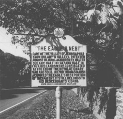
3. An earlier version of this marker
Erected by the State Roads Commission of Maryland, apparently in 1940. The text is similar to the current version, with the exception that The Eagle's Next was still in Marsh's descendent's hands at the time of its installation.
Credits. This page was last revised on January 15, 2023. It was originally submitted on August 13, 2007, by Bill Pfingsten of Bel Air, Maryland. This page has been viewed 7,607 times since then and 127 times this year. Last updated on January 14, 2023, by Carl Gordon Moore Jr. of North East, Maryland. Photos: 1, 2. submitted on August 13, 2007, by Bill Pfingsten of Bel Air, Maryland. 3. submitted on February 29, 2008, by Christopher Busta-Peck of Shaker Heights, Ohio. 4. submitted on August 13, 2007, by Bill Pfingsten of Bel Air, Maryland. • J. Makali Bruton was the editor who published this page.


