Fredericksburg in Spotsylvania County, Virginia — The American South (Mid-Atlantic)
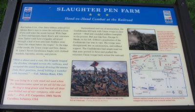
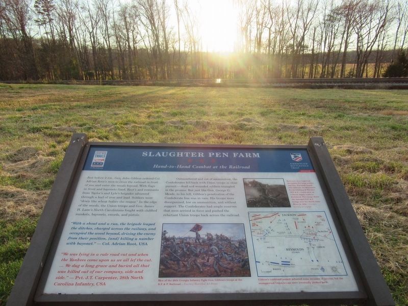
Slaughter Pen Farm
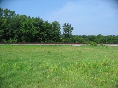
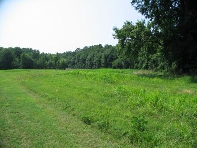
Hand-to-Hand Combat at the Railroad
"With a shout and a run, the brigade leaped the ditches, charged across the railway, and occupied the wood beyond, driving the enemy from their position, [and] killing a number with bayonet."
- Col. Adrian Root, USA
"We was lying in a rale road cut and when the Yankees come upon us we all lef the cut. ... We dug a long grave and buried all that was killed out of our company, side and side."
- Pvt. J.T. Carpenter, 28th North Carolina Infantry, CSA
Outnumbered and out of ammunition, the Confederates fell back with Union troops in close pursuit - dead and wounded soldiers trampled in the process. But just like Gen. George G. Meade, to his left, Gibbon's penetration of the Confederate line was in vain. His troops were disorganized, low on ammunition, and without support. The Confederates had ample reserves that soon arrived in force and pushed the reluctant Union troops back across the railroad.
Erected 2009 by Civil War Preservation Trust and Virginia Civil War Trails.
Topics and series. This historical marker is listed in this topic list: War, US Civil. In addition, it is included in the Virginia Civil War Trails series list.
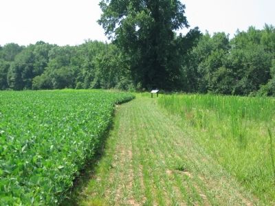
Location. 38° 15.733′ N, 77° 27.088′ W. Marker is in Fredericksburg, Virginia, in Spotsylvania County. Marker can be reached from Tidewater Trail (U.S. 17), on the right when traveling south. Located on the Civil War Preservation Trust's Slaughter Pen Farm trail. Please obtain permission before entering the property. Call CWPT at (800) 298-7878. Touch for map. Marker is at or near this postal address: 3520 Shannon Park Dr, Fredericksburg VA 22408, United States of America. Touch for directions.
Other nearby markers. At least 8 other markers are within walking distance of this marker. A different marker also named Slaughter Pen Farm (about 700 feet away, measured in a direct line); a different marker also named Slaughter Pen Farm (approx. 0.2 miles away); Engines of Destruction (approx. ¼ mile away); Bernard's Cabins (approx. ¼ mile away); a different marker also named Slaughter Pen Farm (approx. ¼ mile away); a different marker also named Slaughter Pen Farm (approx. 0.3 miles away);
a different marker also named Slaughter Pen Farm (approx. 0.4 miles away); a different marker also named Slaughter Pen Farm (approx. half a mile away). Touch for a list and map of all markers in Fredericksburg.
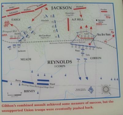
More about this marker. In the lower center is a painting depicting Men of the 49th Georgia infantry fight Gen. Gibbon's troops at the R.F. & P. Railroad. On the upper right is a photo of a wrecked railroad. Railroads were logistical necessities for large armies, and Gen. Burnside hoped the railroad, the Richmond, Fredericksburg, & Potomac (R.F.& P.), could serve as a direct supply route to Richmond. This image shows the damaged R.F. & P. bridge over the North Anna River in 1864.
In the lower rights is a map of the battle in this sector. Gibbon's combined assault achieved some measure of success, but the unsupported Union troops were eventually pushed back.
Also see . . . The Slaughter Pen Farm. Civil War Preservation Trust virtual tour of the Slaughter Pen Farm. (Submitted on July 27, 2009, by Craig Swain of Leesburg, Virginia.)

3. Civil War Preservation Trust
Help preservation like the Slaughter Pen Farm.
Click for more information.
Click for more information.
Credits. This page was last revised on March 12, 2023. It was originally submitted on July 27, 2009, by Craig Swain of Leesburg, Virginia. This page has been viewed 1,380 times since then and 16 times this year. Last updated on March 12, 2023, by Carl Gordon Moore Jr. of North East, Maryland. Photos: 1. submitted on July 27, 2009, by Craig Swain of Leesburg, Virginia. 2. submitted on February 23, 2022, by Benjamin Harrison Allen of Amissville, Virginia. 3. submitted on July 26, 2009, by Craig Swain of Leesburg, Virginia. 4, 5, 6, 7. submitted on July 27, 2009, by Craig Swain of Leesburg, Virginia. • J. Makali Bruton was the editor who published this page.
