Camden in Kershaw County, South Carolina — The American South (South Atlantic)
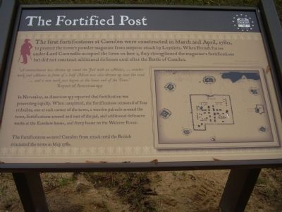
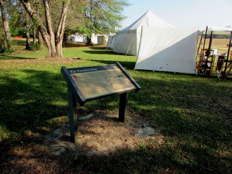
The Fortified Post
"A retrenchment was thrown up round the Fail with Abbatis,...another work and Abbatis in form of a half Moon was also thrown up ner the road... and a new work just begun at the lower end of the Town."
Report of American spy
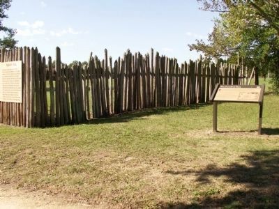
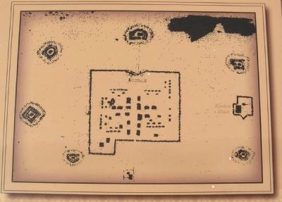
In November, an American spy reported that fortification was proceeding rapidly. When completed, the fortifications consisted of four redoubts, one at each corner of the town, a wooden palisade around the town, fortifications around and east of the jail, and additional defensive works at the Kershaw house, and ferry house on the Wateree River.
The fortifications secured Camden from attack until the British evacuated the town in May 1781.
Topics. This historical marker is listed in these topic lists: Forts and Castles • War, US Revolutionary. A significant historical month for this entry is April 1780.
Location. 34° 14.053′ N, 80° 36.242′ W. Marker is in Camden, South Carolina, in Kershaw County. Marker is on State Road (State Highway 28-703). Touch for map. Marker is in this post office area: Camden SC 29020, United States of America. Touch for directions.
Other nearby markers. At least 8 other markers are within walking distance of this marker. Palisade Wall (here, next to this marker); Camden - Strategic Key (a few steps from this marker); The Southern Campaign, Apr 1781 - Dec 1782 (a few steps from this marker); The Southern Campaign, Aug 1780 - Apr 1781 (a few steps from this marker); The Southern Campaign, Dec 1778 - Aug 1780 (a few steps from this marker); Native Allies (within shouting distance of this marker); War in the Backcountry (within shouting distance of this marker); Citizen - Soldiers (about 300 feet away, measured in a direct line). Touch for a list and map of all markers in Camden.
Credits. This page was last revised on November 8, 2017. It was originally submitted on October 17, 2009, by Stanley and Terrie Howard of Greer, South Carolina. This page has been viewed 947 times since then and 17 times this year. Photos: 1. submitted on October 17, 2009, by Stanley and Terrie Howard of Greer, South Carolina. 2. submitted on November 3, 2011, by Anna Inbody of Columbia, South Carolina. 3. submitted on November 7, 2017, by Bill Coughlin of Woodland Park, New Jersey. 4. submitted on November 3, 2011, by Anna Inbody of Columbia, South Carolina. • Craig Swain was the editor who published this page.


