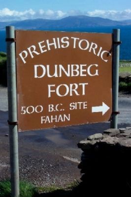
Fahan in County Kerry, Munster, Ireland — Irish South-West ((Éire) North Atlantic Ocean)
Dunbeg Promontory Fort / An Dún Beag
Dunbeg Promontory Fort
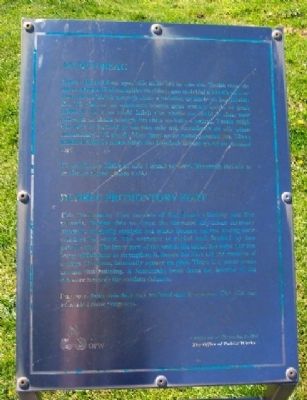
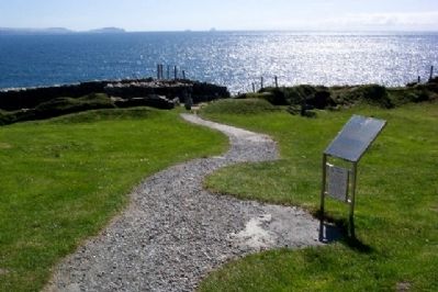
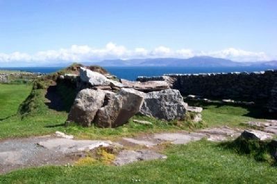
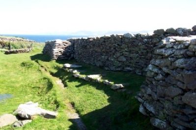
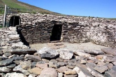
This Promontory Fort consists of four fosses (ditches) and five mounds. Behind this we have the terraced dry-stone masonry rampart, originally straight but which became curved during later construction work. The entrance is roofed and flanked by two guardrooms. The inner part of the wall is the older, the outer portion being added later to strengthen it. Inside the Fort are the remains of a large Clochaun, internally square on plan. There is a water drain around this building. A Soutterrain leads from the interior of the entrance towards the earthern defences.
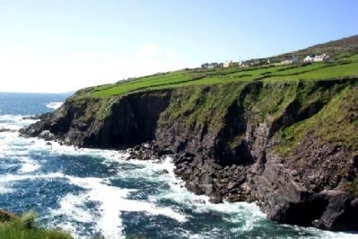
Due to a fault this fort has suffered much erosion. The site was excavated some years ago.
—————
An Dún Beag
Ceilhre chiais (díog) agus cúig mhúr atá sa dún seo. Taobh thiar de sin tá rampar léibheannaithe de chloch gan moirtéal a bhí díreach ar diús ach a d'éirigh cuarach nuair a bhíothas ag obair air ina dhiaidh sin. Tá díon ar an mbealach isteach agus seomra garda ar gach taobh de. Is é an chuid istigh den bhalla an chuid is sine, mar cuireadh an chuid amuigh leis chun an balla a neartu. Taobh istigh den Dún tá iarsmaí de clochán mór atá cearnógach de réir plean inmheánaigh. Tá draein uisce thart ar an bhfoirgneamh seo. Téann uaimh thalún ón taobh istigh den bhealach isteach go dtí an chosaint chré.
Tá an dún seo ídithe go mór i ngeall ar locht. Rinneadh tochailt ar an láthair roinnt blianta ó shia.
[Gaelic transcription is a best effort but might not be perfect.]
Erected by Office of Public Works / Oifig na nOibreacha Poiblí.
Topics. This historical marker is listed in these topic lists: Forts and Castles • Man-Made Features • Notable Buildings • Notable Places • Settlements & Settlers.
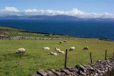
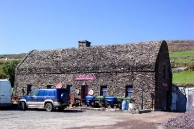
Location. 52° 6.226′ N, 10° 24.541′ W. Marker is in Fahan, Munster, in County Kerry. Marker is about 500 feet south of the Stone House Restaurant parking lot on the Slea Head Drive (Regional Road 559) along the southern Dingle Peninsula coastline. Touch for map. Touch for directions.
Other nearby markers. At least 8 other markers are within 23 kilometers of this marker, measured as the crow flies. The Blaskets (approx. 4 kilometers away); Reask Monastic Site / Láthair Mhainistreach an Riaisc (approx. 7.3 kilometers away); Gallarus Oratory / Séipéilín Ghallarais (approx. 8.7 kilometers away); Kilmalkedar Church / Cill Mhaoilchéadair (approx. 10.3 kilometers away); Railway and O'Connell (approx. 21.3 kilometers away); The Railway (approx. 21.3 kilometers away); Sive Fort (approx. 21.3 kilometers away); Ringforts (approx. 21.3 kilometers away).
Also see . . . Dunbeg Fort. Visitor Center homepage. (Submitted on November 24, 2009.)
Credits. This page was last revised on August 21, 2020. It was originally submitted on November 24, 2009, by William Fischer, Jr. of Scranton, Pennsylvania. This page has been viewed 1,255 times since then and 6 times this year. Photos: 1, 2, 3, 4, 5, 6, 7, 8, 9. submitted on November 24, 2009.
