Austin in Travis County, Texas — The American South (West South Central)
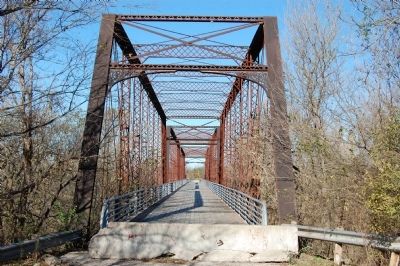
Moore’s Crossing Bridge
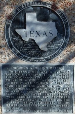
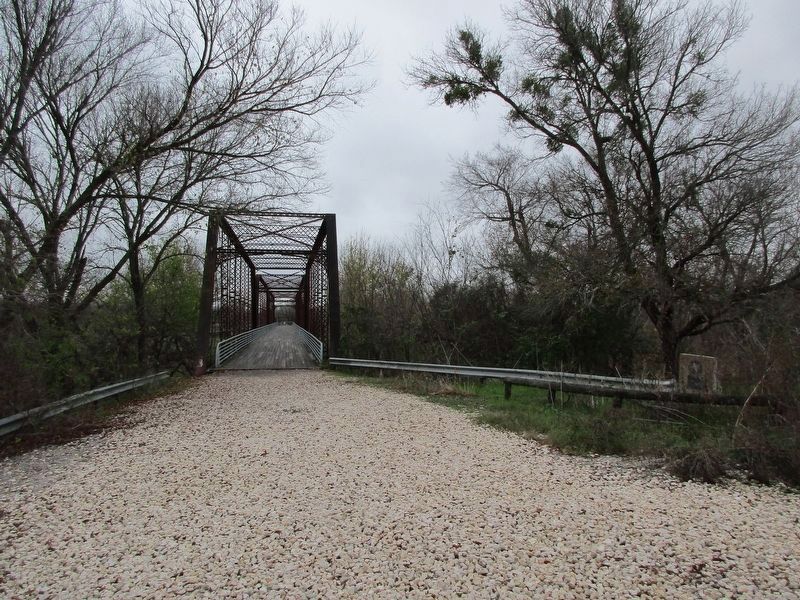
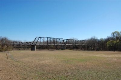
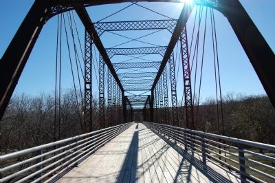
This structure was originally part of a six-span bridge across the Colorado River at Congress Avenue in Austin. Constructed there in 1884, it was designed by the King Iron Bridge and Manufacturing Co. of Cleveland, Ohio. In 1910 it was dismantled and placed in storage. Five years later three spans were rebuilt here but destroyed the same year in a flood. The current bridge, comprised of the remaining spans, was completed in 1922.
Recorded Texas Historic Landmark - 1980
Erected 1980 by Texas Historical Commission. (Marker Number 14007.)
Topics. This historical marker is listed in this topic list: Bridges & Viaducts.
Location. 30° 10.107′ N, 97° 39.826′ W. Marker is in Austin, Texas, in Travis County. Marker is on Moores Bridge Road near Farm to Market Road 973, on the right when traveling north. The bridge is closed to auto traffic. The marker is on the south side of the bridge. The bridge can be accessed from Moores Bridge Road at FM-973. Alternatively, the bridge can be crossed by foot from Richard Moya Park off Burleson Road. Touch for map. Marker is in this post office area: Del Valle TX 78617, United States of America. Touch for directions.
Other nearby markers. At least 8 other markers are within 7 miles of this marker, measured as the crow flies. Collins Cemetery (approx. 2.3 miles away); Del Valle Army Air Base (approx. 3 miles away); Richard Overton Healing Garden (approx. 3 miles away); Elroy (approx. 3.4 miles away); Santiago del Valle Grant (approx. 3.8 miles away); Burditt Prairie Cemetery (approx. 4.8 miles away); Ward Memorial United Methodist Church (approx. 6.2 miles away); Doyle Farm (approx. 6.3 miles away). Touch for a list and map of all markers in Austin.
Also see . . . Wikipedia entry for Moore’s Crossing. (Submitted on January 7, 2010.)
Credits. This page was last revised on February 1, 2023. It was originally submitted on January 3, 2010, by Keith Peterson of Cedar Park, Texas. This page has been viewed 2,455 times since then and 70 times this year. Last updated on December 21, 2022, by Jeff Leichsenring of Garland, Texas. Photos: 1. submitted on January 3, 2010, by Keith Peterson of Cedar Park, Texas. 2. submitted on December 21, 2022, by Jeff Leichsenring of Garland, Texas. 3, 4, 5. submitted on January 3, 2010, by Keith Peterson of Cedar Park, Texas. • J. Makali Bruton was the editor who published this page.
