Near Coupland in Travis County, Texas — The American South (West South Central)
Carlson
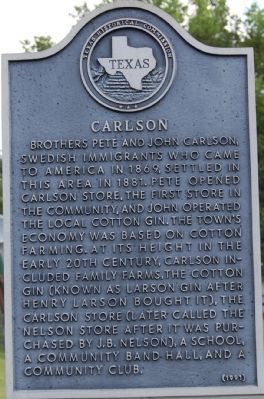
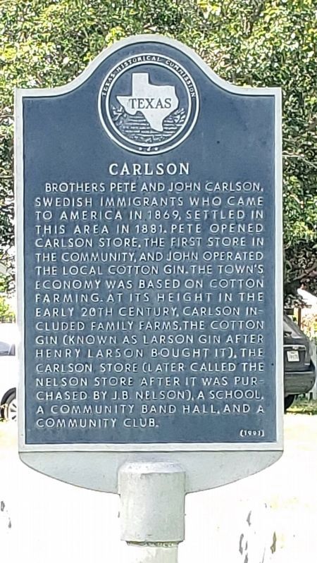
Brothers Pete and John Carlson, Swedish immigrants who came to America in 1869, settled in this area in 1881. Pete opened Carlson store, the first store in the community, and John operated the local cotton gin. The town’s economy was based on cotton farming. At its height in the early 20th century, Carlson included family farms, the cotton gin (known as Larson Gin after Henry Larson bought it), the Carlson Store (later called the Nelson Store after it was purchased by J.B. Nelson), a school, a community band hall, and a community club.
Erected 1991 by Texas Historical Commission. (Marker Number 14066.)
Topics. This historical marker is listed in these topic lists: Education • Industry & Commerce • Settlements & Settlers. A significant historical year for this entry is 1869.
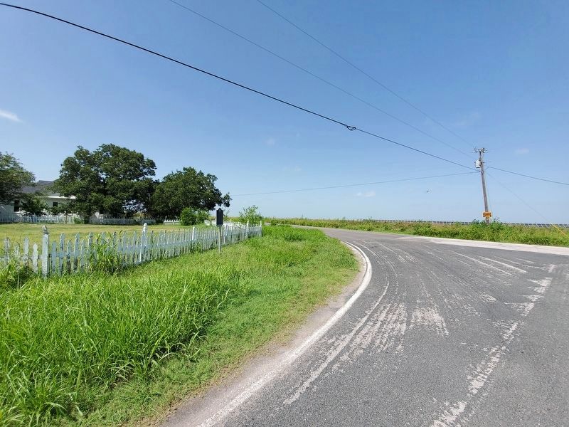
Location. 30° 25.669′ N, 97° 27.132′ W. Marker is near Coupland, Texas, in Travis County. Marker is at the intersection of Lund Carlson Road and Manda Carlson Road, on the right when traveling east on Lund Carlson Road. Touch for map. Marker is in this post office area: Coupland TX 78615, United States of America. Touch for directions.
Other nearby markers. At least 8 other markers are within 5 miles of this marker, measured as the crow flies. Manda (approx. 2 miles away); Site of Willow Ranch School (approx. 2.4 miles away); New Sweden Evangelical Lutheran Church (approx. 2.6 miles away); Kimbro (approx. 3 miles away); James O. Rice (approx. 3.6 miles away); Lund (approx. 3.7 miles away); St. Peters United Church of Christ (approx. 4.2 miles away); United States Senator Morgan C. Hamilton (approx. 4.3 miles away). Touch for a list and map of all markers in Coupland.
Credits. This page was last revised on February 1, 2023. It was originally submitted on January 23, 2010. This page has been viewed 817 times since then and 37 times this year. Last updated on July 24, 2021. Photos: 1. submitted on January 23, 2010, by Keith Peterson of Cedar Park, Texas. 2, 3. submitted on July 24, 2021, by Richard Denney of Austin, Texas. • J. Makali Bruton was the editor who published this page.


