Manor in Travis County, Texas — The American South (West South Central)
Kimbro
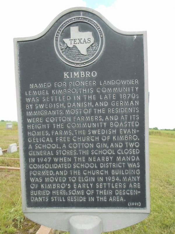
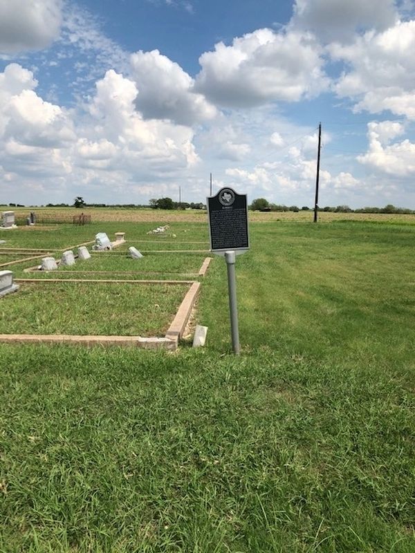
Named for pioneer landowner Lemuel Kimbro, this community was settled in the late 1870s by Swedish, Danish, and German immigrants. Most of the residents were cotton farmers, and at its height the community boasted homes, farms, the Swedish Evangelical Free Church of Kimbro, a school, a cotton gin, and two general stores. The school closed in 1947 when the nearby Manda consolidated school district was formed, and the church building was moved to Elgin in 1954. Many of Kimbro’s early settlers are buried here; some of their descendants still reside in the area.
Erected 1991 by Texas Historical Commission. (Marker Number 16138.)
Topics. This historical marker is listed in these topic lists: Cemeteries & Burial Sites • Churches & Religion • Settlements & Settlers. A significant historical year for this entry is 1947.
Location. 30° 23.312′ N, 97° 28.323′ W. Marker is in Manor, Texas, in Travis County. Marker is on Kimbro Road west of Route 1100, on the right when traveling west. Touch for map. Marker is in this post office area: Manor TX 78653, United States of America. Touch for directions.
Other nearby markers. At least 8 other markers are within 5 miles of this marker, measured as the crow flies. Manda (approx. one mile away); Site of Willow Ranch School (approx. 1.1 miles away); New Sweden Evangelical Lutheran Church (approx. 1˝ miles away); Carlson (approx. 3 miles away); Rose Hill Cemetery (approx. 3.3 miles away); St. John Church (approx. 4.4 miles away); Richland School (approx. 4.4 miles away); Lund (approx. 4.7 miles away). Touch for a list and map of all markers in Manor.
Credits. This page was last revised on February 1, 2023. It was originally submitted on January 23, 2010. This page has been viewed 929 times since then and 49 times this year. Last updated on September 22, 2020, by Richard Denney of Austin, Texas. Photos: 1. submitted on September 20, 2020, by Bob Ward of Austin, Texas. 2. submitted on January 23, 2010, by Keith Peterson of Cedar Park, Texas. 3. submitted on September 20, 2020, by Bob Ward of Austin, Texas. • J. Makali Bruton was the editor who published this page.


