Paicines in San Benito County, California — The American West (Pacific Coastal)
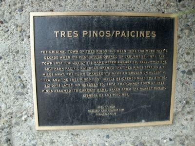
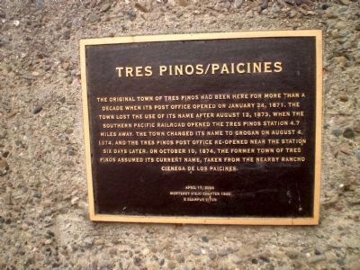
Tres Pinos/Paicines
Erected 2004 by Monterey Viejo Chapter 1846, E Clampus Vitus.
Topics and series. This historical marker is listed in this topic list: Settlements & Settlers. In addition, it is included in the E Clampus Vitus, and the Postal Mail and Philately series lists. A significant historical month for this entry is January 1836.
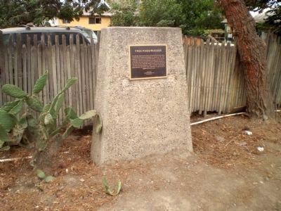
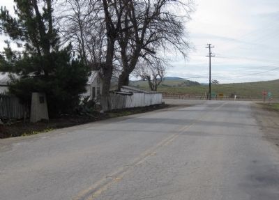
Location. 36° 43.719′ N, 121° 16.693′ W. Marker is in Paicines, California, in San Benito County. Marker is at the intersection of Panoche Road and California Highway 25, on the left when traveling west on Panoche Road. Touch for map. Marker is in this post office area: Paicines CA 95043, United States of America. Touch for directions.
Other nearby markers. At least 8 other markers are within 5 miles of this marker, measured as the crow flies. The Downfall of Tiburcio Vasquez (here, next to this marker); New Idria Mine (about 300 feet away, measured in a direct line); Limekiln Monorail (approx. 2.9 miles away); Palmtag Cutting Shed (approx. 3˝ miles away); Cottage Corners (approx. 3˝ miles away); San Benito County Historical Park (approx. 3˝ miles away); 19th Hole Rendezvous (approx. 4.7 miles away); Site of the Tres Pinos Hotel (approx. 4.9 miles away). Touch for a list and map of all markers in Paicines.
Credits. This page was last revised on August 4, 2023. It was originally submitted on January 28, 2010, by Andrew Ruppenstein of Lamorinda, California. This page has been viewed 1,600 times since then and 57 times this year. Last updated on July 27, 2023, by Ronald D. (Ron) Trigueiro of Fresno, California. Photos: 1. submitted on January 28, 2010, by Andrew Ruppenstein of Lamorinda, California. 2, 3. submitted on October 27, 2014, by Lester J Letson of Fresno, California. 4. submitted on January 28, 2010, by Andrew Ruppenstein of Lamorinda, California. • Bill Pfingsten was the editor who published this page.


