Near Four Oaks in Johnston County, North Carolina — The American South (South Atlantic)
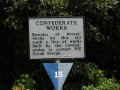
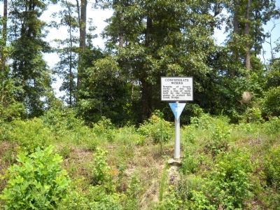
Confederate Works
Erected by Archives and Highway Commission. (Marker Number HHH-22.)
Topics and series. This historical marker is listed in this topic list: War, US Civil. In addition, it is included in the North Carolina Division of Archives and History series list.
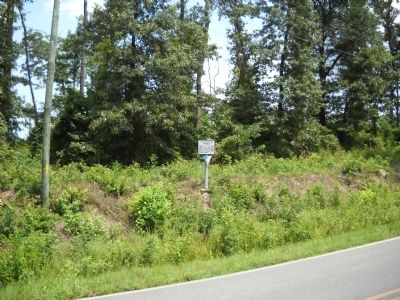
Location. 35° 20.983′ N, 78° 18.128′ W. Marker is near Four Oaks, North Carolina, in Johnston County. Marker is on Devils Racetrack Road (Local Route 1009), on the right when traveling north. The marker is located on the Bentonville Battlefield. Touch for map. Marker is at or near this postal address: 7900 State Rd 1009, Four Oaks NC 27524, United States of America. Touch for directions.
Other nearby markers. At least 8 other markers are within walking distance of this marker. Mill Creek (about 500 feet away, measured in a direct line); Village of Bentonville (approx. 0.3 miles away); Bentonville (approx. 0.3 miles away); a different marker also named Village of Bentonville (approx. half a mile away); Mower’s Charge Reaches Johnston’s Headquarters (approx. half a mile away); Hardee’s Counterattack (approx. half a mile away); Johnston’s Headquarters (approx. half a mile away); Johnston Establishes His Headquarters (approx. half a mile away). Touch for a list and map of all markers in Four Oaks.
Also see . . . Bentonville. CWSAC Battle Summaries website. (Submitted on August 21, 2010, by Bill Coughlin of Woodland Park, New Jersey.)
Credits. This page was last revised on May 11, 2023. It was originally submitted on August 21, 2010, by Bill Coughlin of Woodland Park, New Jersey. This page has been viewed 821 times since then and 26 times this year. Last updated on May 9, 2023, by Michael Buckner of Durham, North Carolina. Photos: 1, 2, 3. submitted on August 21, 2010, by Bill Coughlin of Woodland Park, New Jersey. • J. Makali Bruton was the editor who published this page.


