Near South Lake Tahoe in El Dorado County, California — The American West (Pacific Coastal)
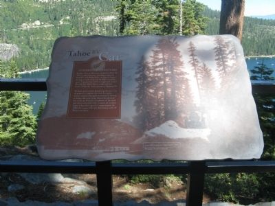
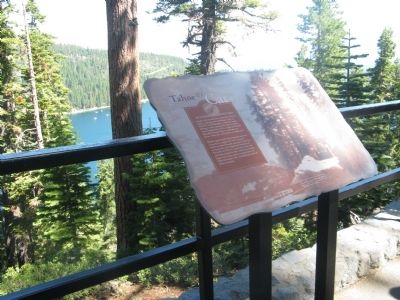
Tahoe By Car
Automotive Adventures
Workers spent months dynamiting the route out of granite to complete the road. A popular steamer excursion brought vacationers to the bay to witness the rocks being blasted hundreds of feet in the air. With the completion of the road and others around the lake, commercial steamers began to lose their appeal as transportation. In 1940, the steamer Tahoe was deliberately sunk off Tahoe’s east shore.
Topics. This historical marker is listed in this topic list: Roads & Vehicles. A significant historical year for this entry is 1913.
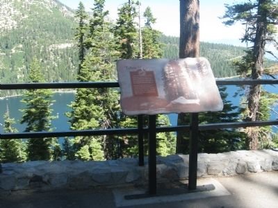
Location. 38° 56.792′ N, 120° 5.905′ W. Marker is near South Lake Tahoe, California, in El Dorado County. Marker can be reached from Emerald Bay Road (State Highway 89), on the right when traveling north. Marker is located at the Inspiration Point Rest Area. Touch for map. Marker is in this post office area: South Lake Tahoe CA 96150, United States of America. Touch for directions.
Other nearby markers. At least 8 other markers are within 3 miles of this marker, measured as the crow flies. Vikingsholm – A Scandinavian Castle (here, next to this marker); Da ow a ga – Lake Tahoe (here, next to this marker); Fannette Island (here, next to this marker); The Hermit of Emerald Bay (here, next to this marker); Enjoy the View from Inspiration Point (within shouting distance of this marker); The Old Veteran (approx. 2.6 miles away); Discover the Tallac Historic Site (approx. 2.8 miles away); Lucky's Legacy (approx. 2.8 miles away). Touch for a list and map of all markers in South Lake Tahoe.
Credits. This page was last revised on June 16, 2016. It was originally submitted on August 31, 2010, by Syd Whittle of Mesa, Arizona. This page has been viewed 942 times since then and 11 times this year. Photos: 1, 2, 3. submitted on August 31, 2010, by Syd Whittle of Mesa, Arizona.


