Milledgeville in Baldwin County, Georgia — The American South (South Atlantic)
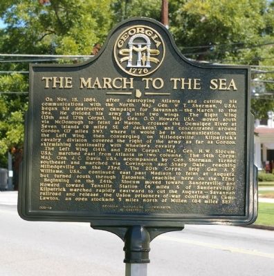
The March to the Sea
The Left Wing (14th and 20th corps), Maj. Gen. H. W. Slocum, USA, marched east from Atlanta in two columns. The 14th Corps, Maj. Gen. J. C. Davis, USA, accompanied by Gen. Sherman turned southeast and marched via Covington and Shady Dale, reaching Milledgeville on the 23rd. The 20th Corps, Brig. Gen. A.S. Williams, USA, continued east past Madison to feint at Augusta, but turned south through Eatonton, reaching here on the 22nd.
Beginning on the 24th, Slocum moved toward Sandersville and Howard toward Tennille Station (4 miles S of Sandersville). Kilpatrick marched rapidly eastward to cut the Augusta-Savannah railroad and release the Union prisoners-of-war confined in Camp Lawton, an open stockade 5 miles north of Millen (84 miles SE).
Erected 2010 by Georgia Historical Society. (Marker Number 005-18.)
Topics and series. This historical marker is listed in this topic list: War, US Civil. In addition, it is included in the Georgia Historical Society, and the Sherman’s March to the Sea series lists. A significant historical month for this entry is October 1917.
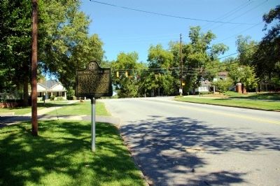
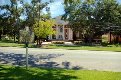
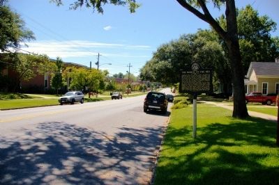
Location. Marker has been reported missing. It was located near 33° 4.954′ N, 83° 13.967′ W. Marker was in Milledgeville, Georgia, in Baldwin County. Marker was on Clark Street (Georgia Route 243) 0 miles south of West Montgomery Street (U.S. 441), on the right when traveling south. The marker stands opposite the Georgia College and State University on North Clark Street. Touch for map. Marker was in this post office area: Milledgeville GA 31061, United States of America. Touch for directions.
Other nearby markers. At least 8 other markers are within walking distance of this location. State College (about 600 feet away, measured in a direct line); Georgia State Penitentiary (approx. 0.2 miles away); Dr. Charles Holmes Herty (approx. 0.2 miles away); Birthplace of Charles Holmes Herty (approx. 0.2 miles away); Old Governor’s Mansion (approx. 0.2 miles away); a different marker also named The Old Governor's Mansion
(approx. 0.2 miles away); The Allen Strain (approx. 0.2 miles away); Baldwin County Veterans Memorial (approx. ¼ mile away). Touch for a list and map of all markers in Milledgeville.
More about this marker. This marker replaced an earlier marker of the same title and text erected by the Georgia Historical Commission in 1957, which had vanished.
Credits. This page was last revised on October 17, 2022. It was originally submitted on September 10, 2010, by David Seibert of Sandy Springs, Georgia. This page has been viewed 1,876 times since then and 14 times this year. Last updated on October 16, 2022, by Dave W of Co, Colorado. Photos: 1, 2, 3, 4. submitted on September 10, 2010, by David Seibert of Sandy Springs, Georgia. • Bernard Fisher was the editor who published this page.


