Grantsville in Garrett County, Maryland — The American Northeast (Mid-Atlantic)
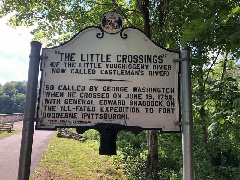
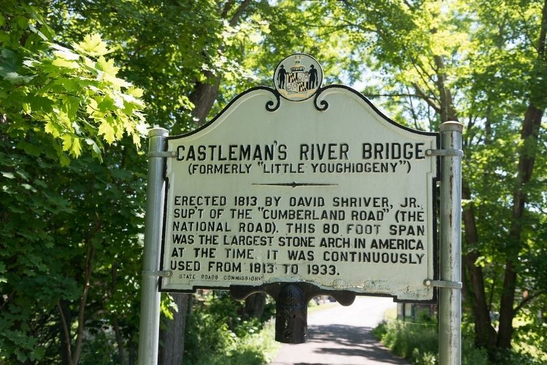
“The Little Crossings” / Castleman’s River Bridge
(of the Little Youghiogeny River now called Castleman's River) / (formerly “Little Youghiogeny”)
“The Little Crossings” (of the Little Youghiogeny River now called Castleman’s River). So called by George Washington when he crossed on June 19, 1755, with General Edward Braddock on the ill-fated expedition to Fort Duquesne (Pittsburgh).
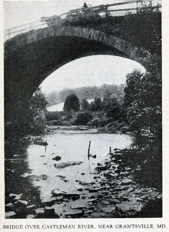
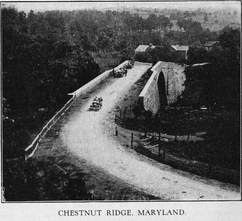
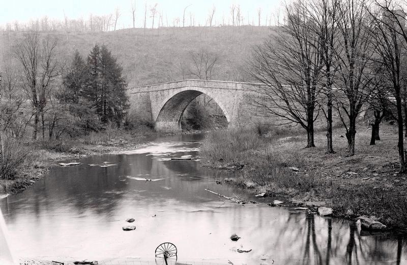
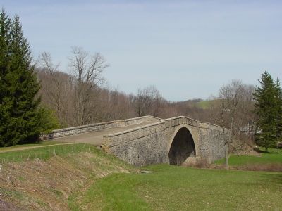
Castleman’s River Bridge (formerly “Little Youghiogeny”). Erected 1813 by David Shriver, Jr., superintendent of the “Cumberland Road” (the National Road). This 80 foot span was the largest stone arch in America at the time. It was continuously used from 1813 to 1933.
Erected by States Road Commission.
Topics and series. This historical marker is listed in these topic lists: Colonial Era • War of 1812. In addition, it is included in the Braddock’s Road and Maj. Gen. Edward Braddock series list. A significant historical month for this entry is June 1681.
Location. 39° 41.816′ N, 79° 8.562′ W. Marker is in Grantsville, Maryland, in Garrett County. Marker can be reached from The National Pike (Alternate U.S. 40) west of Casselman Road. It is at the eastern approach to the bridge. Touch for map. Marker is in this post office area: Grantsville MD 21536, United States of America. Touch for directions.
Other nearby markers. At least 8 other markers are within walking distance of this marker. Castleman’s River Bridge / The Little Crossings (a few steps from this marker); Casselman River Bridge State Park (a few steps from this marker); Mountain Maryland Gateway to the West (a few steps from this marker); The National Pike (within shouting distance of this marker); Winterburg House (within shouting distance of this marker); The Miller House (within shouting distance of this marker); The Original Tombstone of Solomon Glotfelty (within shouting distance of this marker); Glotfelty House (within shouting distance of this marker). Touch for a list and map of all markers in Grantsville.
More about this marker. There are two identical markers, one on each end of the Castleman River Bridge.
Regarding “The Little Crossings” / Castleman’s River Bridge. This was Gen. Braddock's 4th encampment on his march from Cumberland to Fort Duquesne. / The bridge became a Registered National Historic Landmark in 1963.
Additional keywords. Braddock's Road
Credits. This page was last revised on July 9, 2022. It was originally submitted on May 18, 2006, by J. J. Prats of Powell, Ohio. This page has been viewed 3,116 times since then and 57 times this year. Last updated on February 17, 2021, by Carl Gordon Moore Jr. of North East, Maryland. Photos: 1. submitted on July 19, 2020, by Devry Becker Jones of Washington, District of Columbia. 2. submitted on June 7, 2022, by J. J. Prats of Powell, Ohio. 3. submitted on May 18, 2006, by J. J. Prats of Powell, Ohio. 4, 5, 6. submitted on July 1, 2017, by Allen C. Browne of Silver Spring, Maryland. 7. submitted on May 18, 2006, by J. J. Prats of Powell, Ohio. • Bill Pfingsten was the editor who published this page.
