Atascadero in San Luis Obispo County, California — The American West (Pacific Coastal)
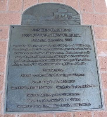
Sunken Gardens
2005 Restoration Project
— Dedicated December, 2005 —
Atascadero Community Redevelopment Agency
Jerry L. Clay, Sr., Board Member
Tom O’Malley, Board Member – Wendy Scalise, Board Member
Wade C. McKinney, Executive Director
Steven B. Kahn, Public Works Director
Warren M. Frace, Community Development Director
Erected 2005 by Atascadero Redevelopment Agency.
Topics. This historical marker is listed in these topic lists: Landmarks • Notable Places. A significant historical year for this entry is 1904.
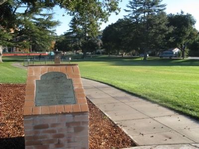
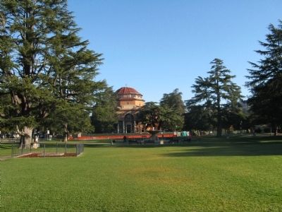
Location. 35° 29.311′ N, 120° 40.094′ W. Marker is in Atascadero, California, in San Luis Obispo County. Marker is on West Mall near El Camino Real, on the right when traveling east. Marker is located near the northwest corner of the Sunken Gardens. Touch for map. Marker is in this post office area: Atascadero CA 93422, United States of America. Touch for directions.
Other nearby markers. At least 8 other markers are within 5 miles of this marker, measured as the crow flies. Atascadero Administration Building (about 400 feet away, measured in a direct line); Carlton Hotel (about 700 feet away); Your American Heritage Monument (approx. 0.2 miles away); Faces of Freedom Veterans Memorial (approx. 1.4 miles away); First Presbyterian Church (approx. 4.7 miles away); Templeton Carriage Works (approx. 4.7 miles away); Museum Property / Horstman House (approx. 4.7 miles away); In Memoriam (approx. 4.8 miles away). Touch for a list and map of all markers in Atascadero.
Credits. This page was last revised on June 16, 2016. It was originally submitted on December 5, 2010, by Syd Whittle of Mesa, Arizona. This page has been viewed 985 times since then and 49 times this year. Photos: 1. submitted on February 24, 2014, by James King of San Miguel, California. 2, 3. submitted on December 5, 2010, by Syd Whittle of Mesa, Arizona.


