Near Vermillion in Clay County, South Dakota — The American Midwest (Upper Plains)
First Rural Electric Cooperative
Inscription.
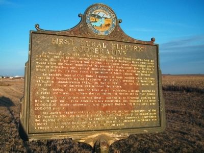
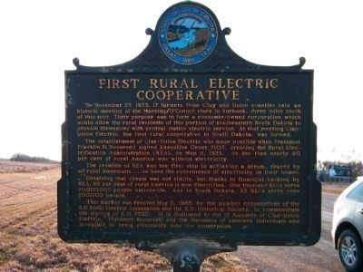
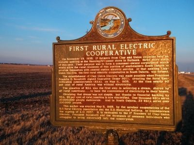
On November 25, 1935, 17 farmers from Clay and Union counties held an historic meeting at the Manning/O'Connor store in Burbank, three miles south of this spot. Their purpose was to form a consumer-owned corporation which would allow the rural residents of this portion of southeastern South Dakota to provide themselves with central station electric service. At that meeting Clay-Union Electric, the first rural cooperative in South Dakota, was formed.
The establishment of Clay-Union Electric was made possible when President Franklin D. Roosevelt signed Executive Order 7037, creating the Rural Electrification Administration (REA), on May 11, 1935. At the time nearly 90 per cent of rural America was without electricity.
The creation of REA was the first step in achieving a dream, shared by all rural Americans....to have the convenience of electricity in their homes.
Obtaining that dream was not simple, but thanks to financial backing by REA, 99 per cent of rural America is now electrified. One thousand RECs serve 20,000,000 people nationwide. And in South Dakota, 33 RECs serve over 200,000 people.
This marker was erected May 11, 1985, by the member cooperatives of the S.D. Rural Electric Association and the S.D. Historical Society, to commemorate the signing of E.O. 7037. It is dedicated to the 17 founders of Clay-Union Electric, President Roosevelt and the thousands of unnamed individuals who struggled to bring electricity into the countryside.
Erected 1985 by Member cooperatives of the S.D. Rural Electric Association and the S.D. Historical Society. (Marker Number 495.)
Topics and series. This historical marker is listed in this topic list: Notable Events. In addition, it is included in the Former U.S. Presidents: #32 Franklin D. Roosevelt, the Rural Electrification 💡, and the South Dakota State Historical Society Markers series lists. A significant historical date for this entry is November 25, 1935.
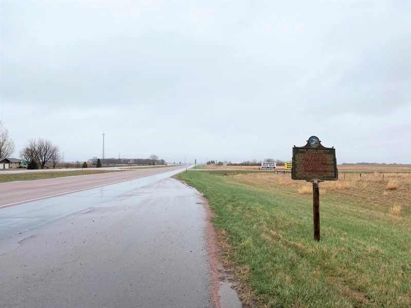
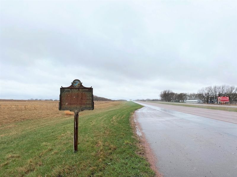
Location. 42° 47.162′ N, 96° 49.641′ W. Marker is near Vermillion, South Dakota, in Clay County. Marker is on State Highway 50 west of 469th Avenue, on the right when traveling east. There are actually two of these same signs in the area - one on the north side of SD Highway 50, east of 469th Avenue, and one on the south side of SD Highway 50, west of 469th Avenue. There are small pull-off areas next to each of the signs. Touch for map. Marker is in this post office area: Vermillion SD 57069, United States of America. Touch for directions.
Other nearby markers. At least 8 other markers are within 5 miles of this marker, measured as the crow flies. A different marker also named First Rural Electric Cooperative (about 700 feet away, measured in a direct line); Bruyer Church (approx. 1.1 miles away); Homestead Rest Area
(approx. 2 miles away); The Great Missouri River (approx. 2 miles away); Burbank (approx. 2.6 miles away); Buhrstone (approx. 4.6 miles away); Prentis Park (approx. 4.7 miles away); W. O. "Doc" Farber (approx. 4.9 miles away). Touch for a list and map of all markers in Vermillion.
More about this marker. Both markers are in deteriorating condition. The one on the north side isn't as difficult to read as the one on the south side.
Regarding First Rural Electric Cooperative. The town of Burbank is located 3 miles south of SD Highway 50 off 469th Avenue.
Uncertain of Manning/O'Connor Store is still in existence in Burbank.
Credits. This page was last revised on April 26, 2023. It was originally submitted on January 14, 2011, by Rich Pfingsten of Forest Hill, Maryland. This page has been viewed 1,513 times since then and 53 times this year. Last updated on August 19, 2021. Photos: 1, 2. submitted on January 14, 2011, by Rich Pfingsten of Forest Hill, Maryland. 3, 4. submitted on April 26, 2023. 5. submitted on January 14, 2011, by Rich Pfingsten of Forest Hill, Maryland. • Bill Pfingsten was the editor who published this page.
