Near Bowie in Cochise County, Arizona — The American Mountains (Southwest)
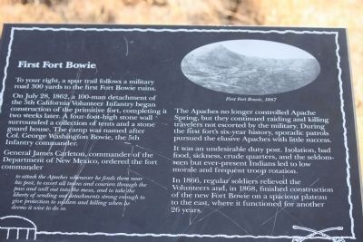
First Fort Bowie
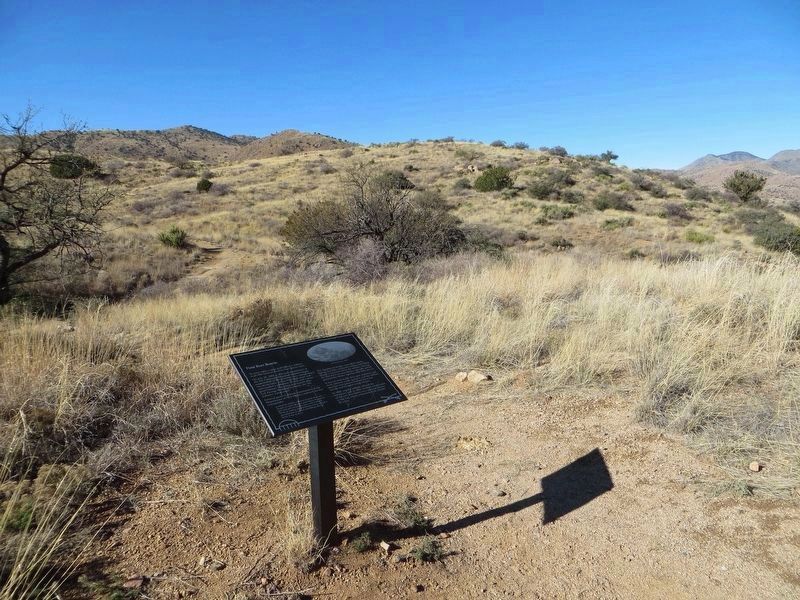
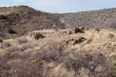
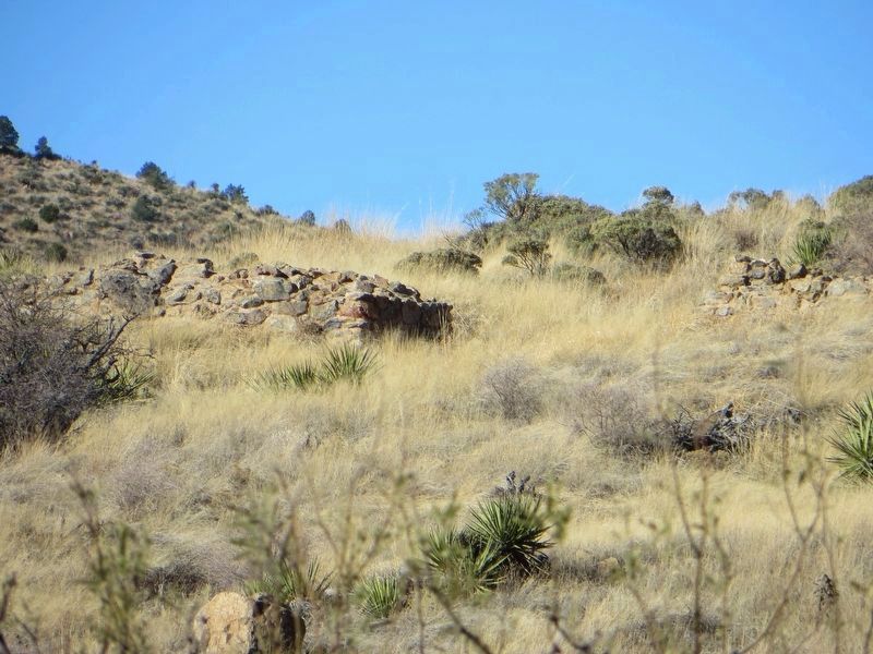
To your right, a spur trail follows a military road 300 yards to the first Fort Bowie ruins.
On July 28, 1862, a 100-man detachment of the 5th California Volunteer Infantry began construction of the primitive fort, completing it two weeks later. A four-foot-high stone wall surrounded a collection of tents and a stone guard house. The camp was named after Col. George Washington Bowie, the 5th Infantry commander.
General James Carleton, commander of the Department of New Mexico, ordered the fort commander
to attack the Apaches whenever he finds them near his post, to escort all trains and couriers through the pass and well out into the mesa, and to take the liberty of sending out detachments strong enough to give protection to soldiers and killing when he deems it wise to do so.
The Apaches no longer controlled Apache Spring, but they continued raiding and killing travelers not escorted by the military. During the first fort's six-year history, sporadic patrols pursued the elusive Apaches with little success.
It was an undesirable duty post. Isolation, bad food, sickness, crude quarters, and the seldom-seen but ever-present Indians led to low morale and frequent troop rotation.
In 1866, regular soldiers relieved the Volunteers and, in 1868, finished construction of the new Fort Bowie on a spacious plateau to the east, where it functioned for another 26 years.
Erected by National Park Service.
Topics. This historical marker is listed in these topic lists: Forts and Castles • Native Americans • War, US Civil • Wars, US Indian. A significant historical date for this entry is July 28, 1862.
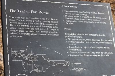
Location. 32° 8.673′ N, 109° 26.353′ W. Marker is near Bowie, Arizona, in Cochise County. Marker is on Apache Pass Road. Markers are located along the trail at the Fort Bowie National Historic Site. From Bowie, Az. drive south from the intersection of I-10B and Apache Pass Rd to the trail head (approximately 8 miles) or from Willcox, AZ drive southeast for 20 miles on State Road #186 to the Fort Bowie turn off, then drive another eight miles on the unpaved road to the Fort Bowie Trailhead. Be prepared to walk the three miles round trip to the ruins and back. Touch for map. Marker is in this post office area: Bowie AZ 85605, United States of America. Touch for directions.
Other nearby markers. At least 8 other markers are within walking distance of this marker. Post Trader (about 600 feet away, measured in a direct line); Apache Spring (about 600 feet away); Infantry Barracks (about 700 feet away); Second Fort Bowie (approx. 0.2 miles away); Quartermaster Storehouse (approx. 0.2 miles away); Cavalry Barracks
(approx. 0.2 miles away); Cavalry Mess Hall and Kitchen (approx. ¼ mile away); Commanding Officer's Quarters (approx. ¼ mile away). Touch for a list and map of all markers in Bowie.
Also see . . . Old Fort Bowie. The online Arizona Handbook offers a short history of the fort as well as information on visiting the area. (Submitted on April 27, 2011.)
Credits. This page was last revised on March 22, 2023. It was originally submitted on April 26, 2011, by James Nuti of Bisbee, Arizona. This page has been viewed 1,318 times since then and 43 times this year. Last updated on March 21, 2023, by Kyle F Taylor of El Paso, Texas. Photos: 1. submitted on April 18, 2011, by James Nuti of Bisbee, Arizona. 2. submitted on January 14, 2017, by Bill Kirchner of Tucson, Arizona. 3. submitted on April 18, 2011, by James Nuti of Bisbee, Arizona. 4. submitted on January 14, 2017, by Bill Kirchner of Tucson, Arizona. 5. submitted on April 18, 2011, by James Nuti of Bisbee, Arizona. • J. Makali Bruton was the editor who published this page.
