Westover Hills near Wilmington in New Castle County, Delaware — The American Northeast (Mid-Atlantic)
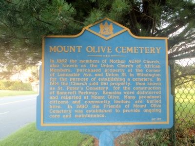
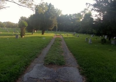
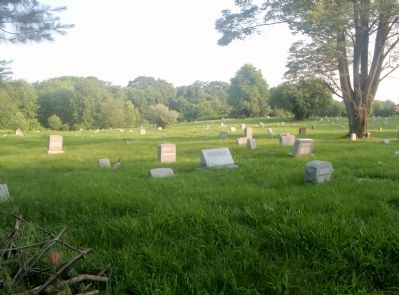
Mount Olive Cemetery
Erected by Delaware Public Archives. (Marker Number NC-87.)
Topics and series. This historical marker is listed in these topic lists: African Americans • Cemeteries & Burial Sites. In addition, it is included in the Delaware Public Archives series list. A significant historical year for this entry is 1862.
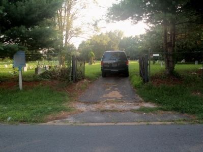
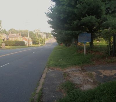
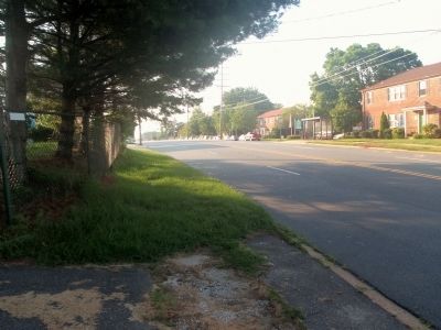
Location. 39° 45.218′ N, 75° 35.467′ W. Marker is near Wilmington, Delaware, in New Castle County. It is in Westover Hills. Marker is on Lancaster Pike (Delaware Route 48) half a mile west of DuPont Rd, on the right when traveling west. Touch for map. Marker is at or near this postal address: 3377 Lancaster Pike, Wilmington DE 19805, United States of America. Touch for directions.
Other nearby markers. At least 8 other markers are within 2 miles of this marker, measured as the crow flies. Wilmington (approx. 0.2 miles away); First Flight of the Delaplane (approx. 0.9 miles away); Wawaset Park (approx. 0.9 miles away); Site of DuPont Airfield (approx. 0.9 miles away); Alexis I. duPont Middle School (approx. one mile away); Gibraltar (approx. one mile away); Veterans Memorial (approx. 1.1 miles away); Samuel Francis Du Pont (approx. 1.2 miles away). Touch for a list and map of all markers in Wilmington.
More about this marker. This cemetery is often confused with Mount Zion, which is also on Rt 48 (Lancaster Ave) and lies on the railroad tracks. Mount Zion is about 1 mile closer to Wilmington.
Credits. This page was last revised on February 15, 2024. It was originally submitted on June 26, 2011, by Stephen J Duncan of Wilmington, Delaware. This page has been viewed 1,163 times since then and 65 times this year. Last updated on November 6, 2023, by Regina Barry of Wilmington, Delaware. Photos: 1, 2, 3, 4, 5, 6. submitted on June 26, 2011, by Stephen J Duncan of Wilmington, Delaware. • J. Makali Bruton was the editor who published this page.
