Stillwater Township in Washington County, Minnesota — The American Midwest (Upper Plains)
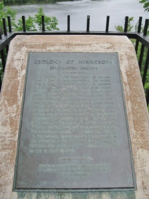
Geology of Minnesota
Stillwater Region
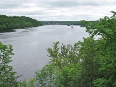
The site of this tablet marks the northern limit of Lake St. Croix, impounded by the natural dam of sand and gravel, made by the Mississippi where it is joined by the St. Croix River, twenty miles below Stillwater. The valley, with its steep banks, is typical of youthful topography - of a young stream - and its size, compared with the river, indicates that a much larger volume of water flowed here when the St. Croix was an outlet of glacial Lake Duluth, the ancestor of Lake Superior. The highway and picnic grounds occupy a river terrace on which the river flowed at an earlier stage. The rock walls of the valley are chiefly sandstones formed in the sea when it covered Minnesota during the Cambrian period 500 million years ago. Because of the thickness of the beds and the excellence of the exposures along the river, these formations, wherever they appear in North America, are known as the St. Croixian series.
in cooperation with the Department of Highways
State of Minnesota
Erected 1950 by Geological Society of Minnesota.
Topics and series. This historical marker is listed in this topic list: Waterways & Vessels. In addition, it is included in the Minnesota: Geological Society of Minnesota series list.
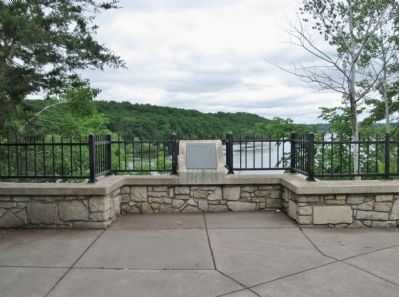
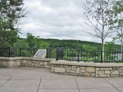
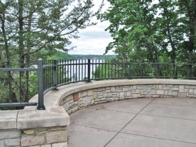
Location. 45° 4.882′ N, 92° 47.459′ W. Marker is near Stillwater, Minnesota, in Washington County. It is in Stillwater Township. Marker can be reached from Saint Croix Trail North (State Highway 95) one mile north of Dellwood Road (State Highway 96), on the right when traveling north. The marker is at a scenic overlook. Touch for map. Marker is in this post office area: Stillwater MN 55082, United States of America. Touch for directions.
Other nearby markers. At least 8 other markers are within 2 miles of this marker, measured as the crow flies. St. Croix Boom Site (approx. 0.3 miles away); Life at the Boom (approx. 0.4 miles away); Controlling A River Of Logs (approx. 0.4 miles away); Tamarack House (approx. 1.1 miles away); Glacial Landscape (approx. 1.3 miles away in Wisconsin); Loop Trail Fun Facts (approx. 1.3 miles away in Wisconsin); Western Prairie Restoration (approx. 1˝ miles away in Wisconsin); Lower St. Croix River Sandbars (approx. 1˝ miles away in Wisconsin). Touch for a list and map of all markers in Stillwater.
Also see . . . Geology of Minnesota. Wikipedia entry. (Submitted on July 1, 2011.)
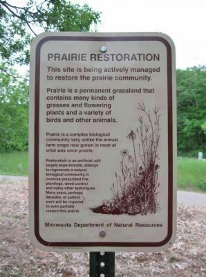
Photographed By Keith L, June 11, 2011
6. Nearby Sign
Credits. This page was last revised on September 28, 2023. It was originally submitted on July 1, 2011, by Keith L of Wisconsin Rapids, Wisconsin. This page has been viewed 829 times since then and 17 times this year. Last updated on September 27, 2023, by McGhiever of Minneapolis, Minnesota. Photos: 1, 2, 3, 4, 5, 6. submitted on July 1, 2011, by Keith L of Wisconsin Rapids, Wisconsin. • J. Makali Bruton was the editor who published this page.
